MyTopo
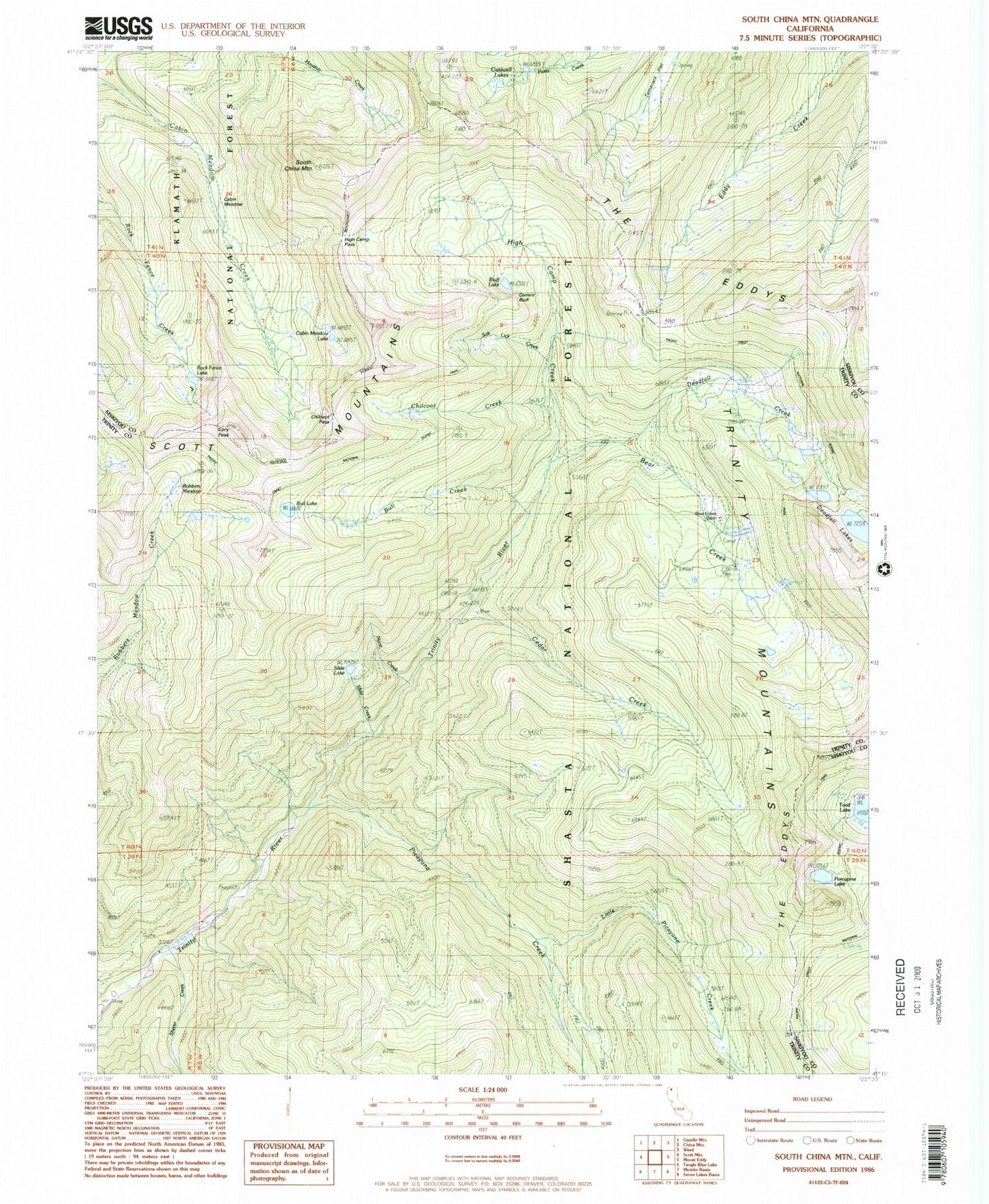
Classic USGS South China Mountain California 7.5'x7.5' Topo Map
Couldn't load pickup availability
Historical USGS topographic quad map of South China Mountain in the state of California. Typical map scale is 1:24,000, but may vary for certain years, if available. Print size: 24" x 27"
This quadrangle is in the following counties: Siskiyou, Trinity.
The map contains contour lines, roads, rivers, towns, and lakes. Printed on high-quality waterproof paper with UV fade-resistant inks, and shipped rolled.
Contains the following named places: Bear Creek, Bear Creek Cabin, Bluff Lake, Bull Creek, Bull Lake, Caldwell Lakes, Cedar Creek, Cement Bluff, Chilcoot Creek, Cory Peak, Deadfall Creek, Deadfall Lakes, High Camp Creek, Little Picayune Creek, Picayune Creek, Porcupine Lake, Robbers Meadow, Rock Fence Lake, Salt Lick Creek, Sherer Creek, Slide Lake, Cabin Meadow Lake, South China Mountain, Tamarack Flat, Toad Lake, Chilcoot Pass, High Camp Pass, Nyott Creek, Harmon, Cabin Meadow