MyTopo
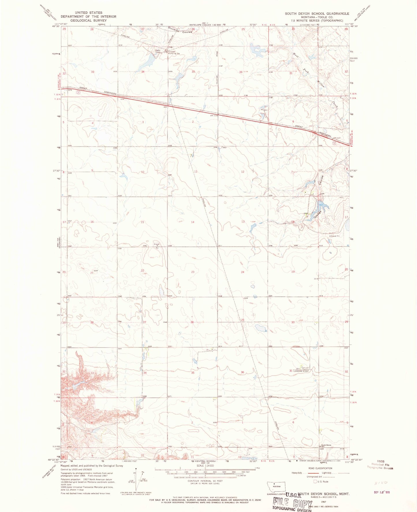
Classic USGS South Devon School Montana 7.5'x7.5' Topo Map
Regular price
$16.95
Regular price
Sale price
$16.95
Unit price
per
Couldn't load pickup availability
Historical USGS topographic quad map of South Devon School in the state of Montana. Map scale may vary for some years, but is generally around 1:24,000. Print size is approximately 24" x 27"
This quadrangle is in the following counties: Toole.
The map contains contour lines, roads, rivers, towns, and lakes. Printed on high-quality waterproof paper with UV fade-resistant inks, and shipped rolled.
Contains the following named places: Athlone, Bar Z F Ranch Incorporated Number 1 Dam, Johnson Dam, Sagittaurius Dam, South Devon School, Telstad, Telstad Post Office, Telstad Pumping Station, Three Dollar Bill Dam, Westermark Dam, White Dam