MyTopo
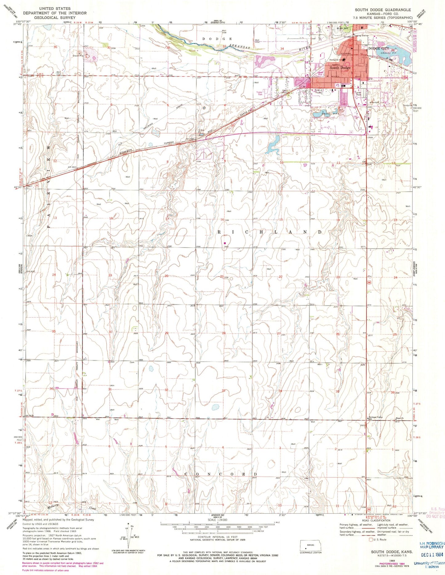
Classic USGS South Dodge Kansas 7.5'x7.5' Topo Map
Couldn't load pickup availability
Historical USGS topographic quad map of South Dodge in the state of Kansas. Map scale may vary for some years, but is generally around 1:24,000. Print size is approximately 24" x 27"
This quadrangle is in the following counties: Ford.
The map contains contour lines, roads, rivers, towns, and lakes. Printed on high-quality waterproof paper with UV fade-resistant inks, and shipped rolled.
Contains the following named places: Beeson Elementary School, Camelot Trailer Park, Christ the King Cemetery, Christ the King Lutheran Church, Countryside Manor Mobile Home Park, Dodge City Downs, Dodge City Fire Department Station 2, Dodge City Public Works, Dodge City Raceway Park, Dodge City Roundup Rodeo, Evergreen Trailer Court, Ford County Fairgrounds, Ford County Fire And Emergency Medical Services South Station, Fort Atkinson, Hope Church, Kansas Department of Wildlife and Parks Region 3 Headquarters, Lazy Acres Trailer Park, Palomino Ranch, Prairie Village Trailer Court, Richland Valley School, Sleepy Hollow Mobile Home Park, South Dodge, Southgate Shopping Center, Sunnyside Elementary School, Templo la Hermosa, The Village Square, Township of Richland, Victory Life Fellowship, Villa Manor Trailer Court, Watersports Mobile Home Park, Watersports Recreational Vehicle Park, Wright Park, Wright Park Zoo, ZIP Code: 67801