MyTopo
Classic USGS South Greenfield Missouri 7.5'x7.5' Topo Map
Couldn't load pickup availability
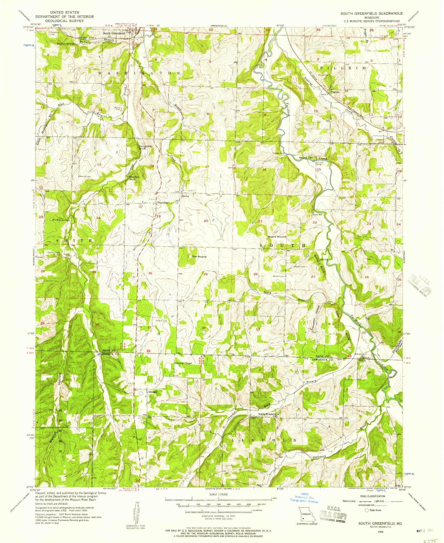
Historical USGS topographic quad map of South Greenfield in the state of Missouri. Map scale may vary for some years, but is generally around 1:24,000. Print size is approximately 24" x 27"
This quadrangle is in the following counties: Dade, Lawrence.
The map contains contour lines, roads, rivers, towns, and lakes. Printed on high-quality waterproof paper with UV fade-resistant inks, and shipped rolled.
Contains the following named places: Antioch Bridge, Antioch Church, Bishop Cemetery, Bishop Springs, Bowles Cemetery, Bryant Mound, Buffalo Branch, Buffalo Spring, Cuba Bluff, Dadeville, Daughtrey Bluff, Daughtrey Cemetery, Dilday Mill, Eddington Branch, Felter School, Friend Cemetery, Gambill Cemetery, Glass Hollow Branch, Guffy Bluff, Honey Creek, Hopper Cemetery, Itson Branch, Jordan Creek, Limestone School, Meek School, Merrick Cemetery, Morris Cemetery, New Kirk, North Sycamore Branch, North Sycamore Church, North Sycamore School, Olinger, Patten Chapel, Pennsboro, Picket School, Pilgrim, Pilgrim School, Shiloh Church, Sinking Creek, Snadon Bluff, Snadon Ford, Snadon Hollow, Stillhouse Hollow, Sycamore Branch, Sycamore Hollow, The Mound, Township of Pilgrim, Township of South, Township of Washington, Turnback, Turnback Post Office, Walnut Hollow, West Fork Limestone Creek, ZIP Code: 65752


