MyTopo
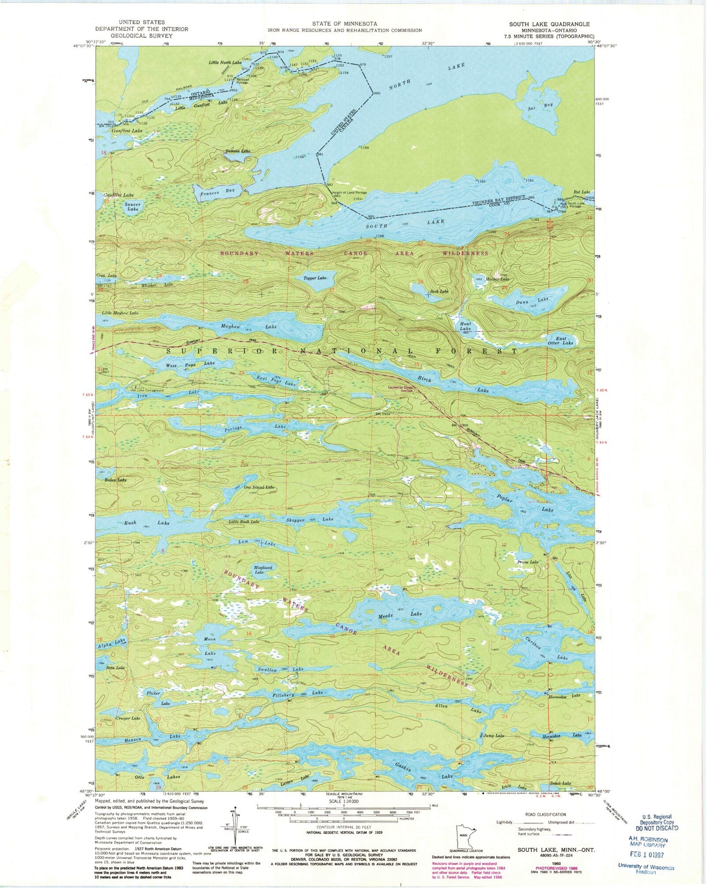
Classic USGS South Lake Minnesota 7.5'x7.5' Topo Map
Couldn't load pickup availability
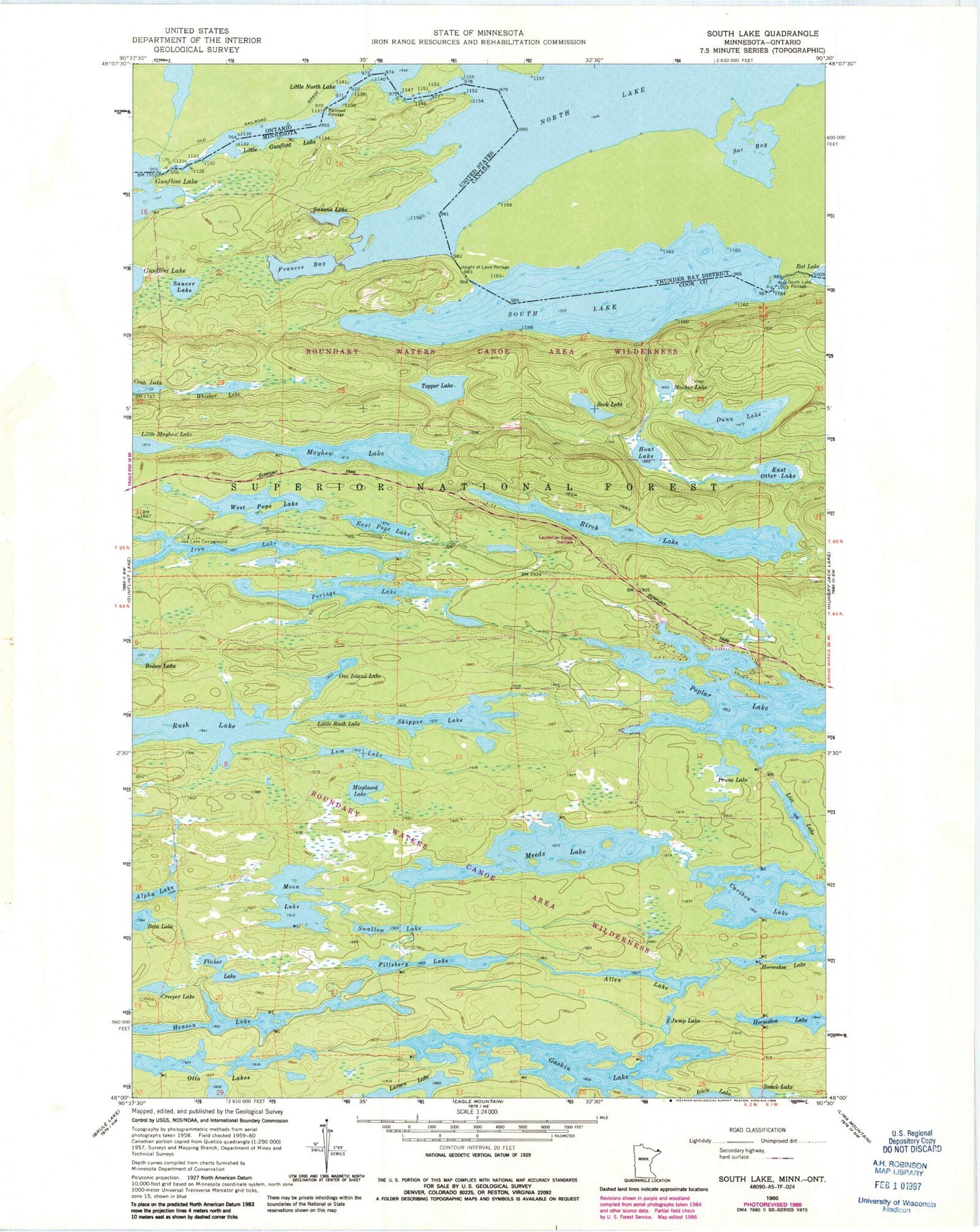
Historical USGS topographic quad map of South Lake in the state of Minnesota. Typical map scale is 1:24,000, but may vary for certain years, if available. Print size: 24" x 27"
This quadrangle is in the following counties: Cook.
The map contains contour lines, roads, rivers, towns, and lakes. Printed on high-quality waterproof paper with UV fade-resistant inks, and shipped rolled.
Contains the following named places: Surber Lake, Allen Lake, Alpha Lake, Beta Lake, Birch Lake, Caribou Lake, Creeper Lake, Dunn Lake, East Otter Lake, East Pope Lake, Flicker Lake, Frances Bay, Gaskin Lake, Gunflint Trail, Height of Land Portage, Henson Lake, Hoat Lake, Iron Lake, Iron Lake Campground, Jump Lake, Larsen Lake, Little Gunflint Lake, Little Mayhew Lake, Little North Lake, Little Rush Lake, Lizz Lake, Lum Lake, Mayhew Lake, Meeds Lake, Misplaced Lake, Moon Lake, Mucker Lake, North Lake, One Island Lake, Otto Lakes, Pillsbery Lake, Poplar Lake, Portage Lake, Prune Lake, Rush Lake, Saucer Lake, Skipper Lake, Snack Lake, Sock Lake, South Lake, Susana Lake, Swallow Lake, Topper Lake, West Pope Lake, Whisker Lake, Poplar Lake Boat Access, South Lake Portage, South Lake, Height of Land Portage Historical Marker, Moozoogitagaanesing Island, Moozoogitagaaning Island


