MyTopo
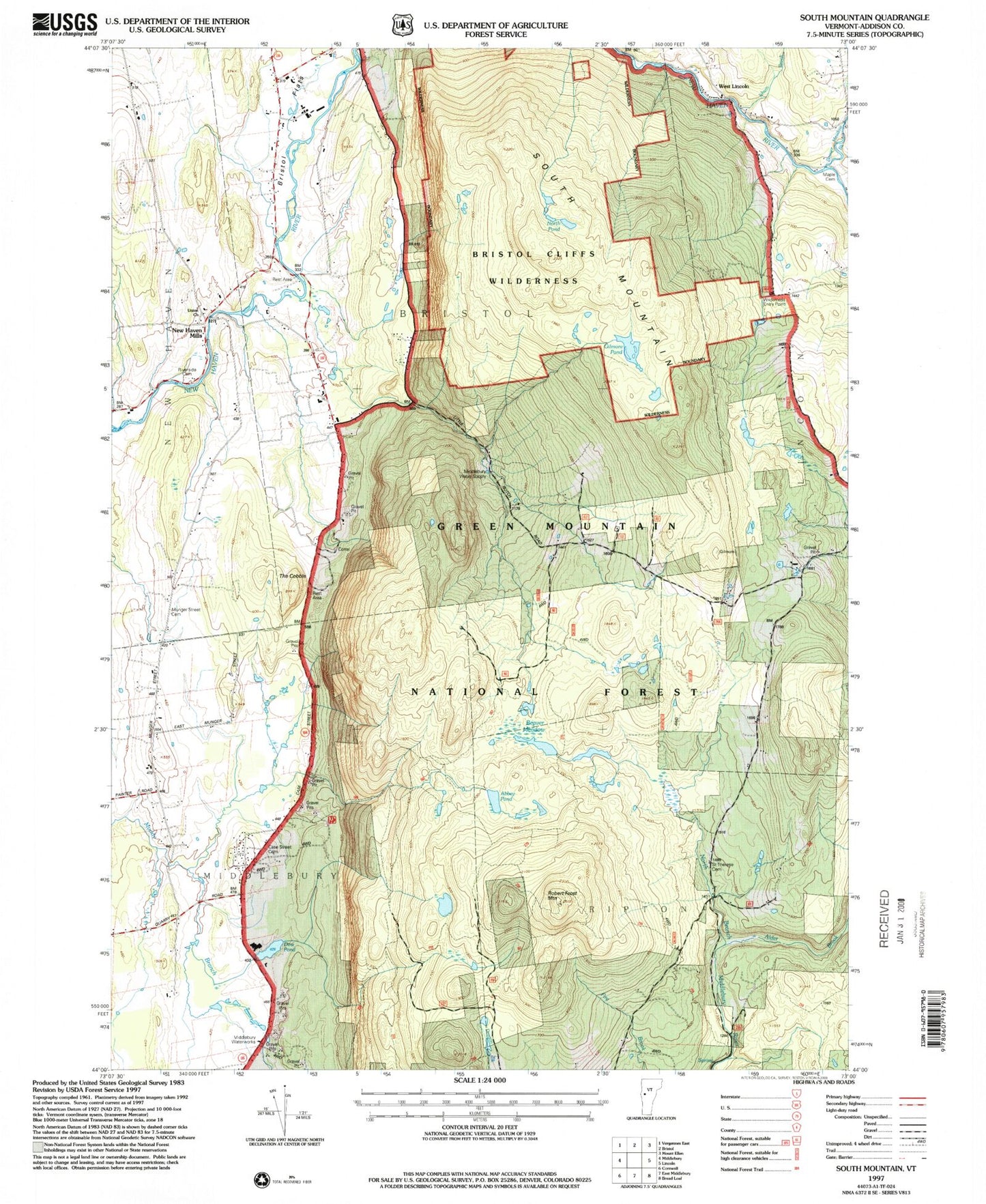
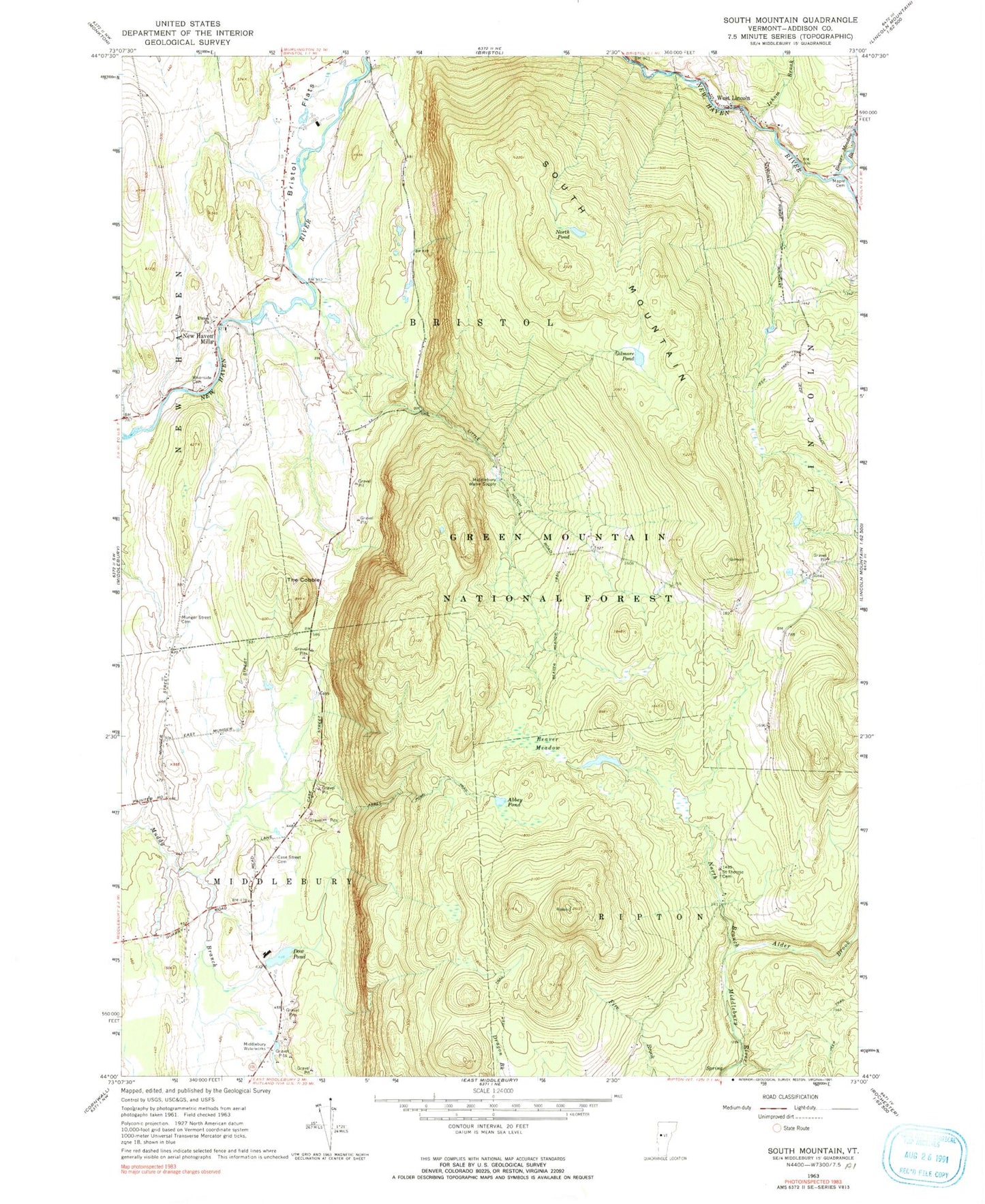
Classic USGS South Mountain Vermont 7.5'x7.5' Topo Map
Couldn't load pickup availability
Historical USGS topographic quad map of South Mountain in the state of Vermont. Typical map scale is 1:24,000, but may vary for certain years, if available. Print size: 24" x 27"
This quadrangle is in the following counties: Addison.
The map contains contour lines, roads, rivers, towns, and lakes. Printed on high-quality waterproof paper with UV fade-resistant inks, and shipped rolled.
Contains the following named places: Robert Frost Mountain, Abbey Pond, Abbey Pond Trail, Alder Brook, Beaver Meadow, Beaver Meadow Brook, Beaver Meadow Trail, Bristol Flats, Case Street Cemetery, Dow Pond, Gilmore Pond, Isham Brook, Maple Cemetery, Middlebury Water Supply, Munger Street Cemetery, New Haven Mills, North Pond, Riverside Cemetery, Saint Therese Cemetery, South Mountain, The Cobble, Union Church, West Lincoln, Bristol Cliffs Wilderness, Middlebury Waterworks, Town of Bristol, Town of Middlebury, Dow Pond Dam, Cushman Cemetery, Elephant Mountain Camping Area, Higgins Pond, Middleblury Municipal Forest, Quarry Hill School, Rathbun Pit