MyTopo
Classic USGS South Mustang Draw SE Texas 7.5'x7.5' Topo Map
Couldn't load pickup availability
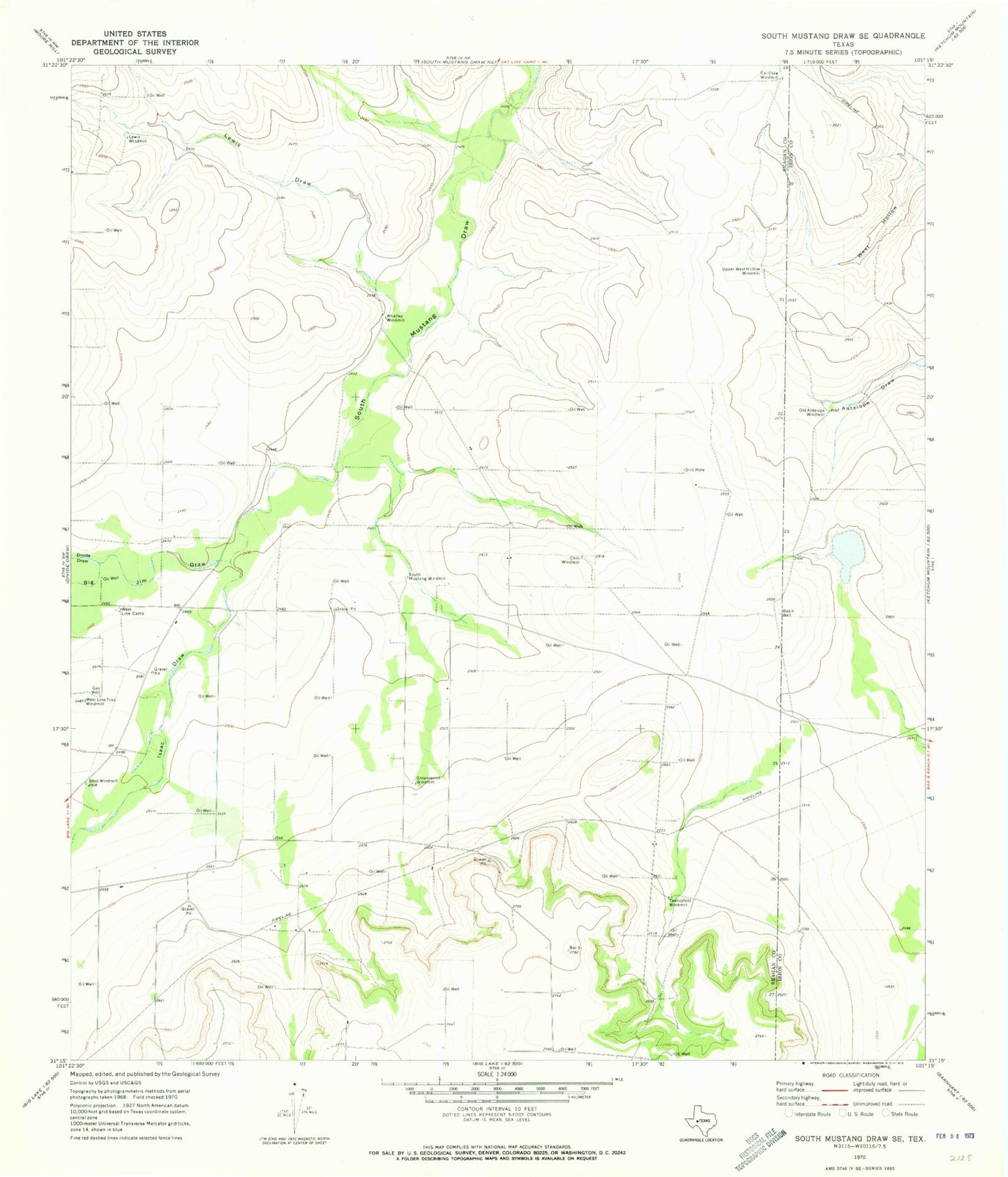
Historical USGS topographic quad map of South Mustang Draw SE in the state of Texas. Map scale may vary for some years, but is generally around 1:24,000. Print size is approximately 24" x 27"
This quadrangle is in the following counties: Irion, Reagan.
The map contains contour lines, roads, rivers, towns, and lakes. Printed on high-quality waterproof paper with UV fade-resistant inks, and shipped rolled.
Contains the following named places: Basin Well, Big Jim Draw, Cat Claw Windmill, Chili Windmill, Divide Draw, Greasewood Windmill, Isaac Draw, Lewis Draw, Lewis Windmill, Old Antelope Windmill, Shot Windmill, South Mustang Windmill, Twentyfoot Windmill, Upper West Hollow Windmill, West Line Camp, West Line Trap Windmill, Whatley Windmill