MyTopo
Classic USGS South Navarre Peak Washington 7.5'x7.5' Topo Map
Couldn't load pickup availability
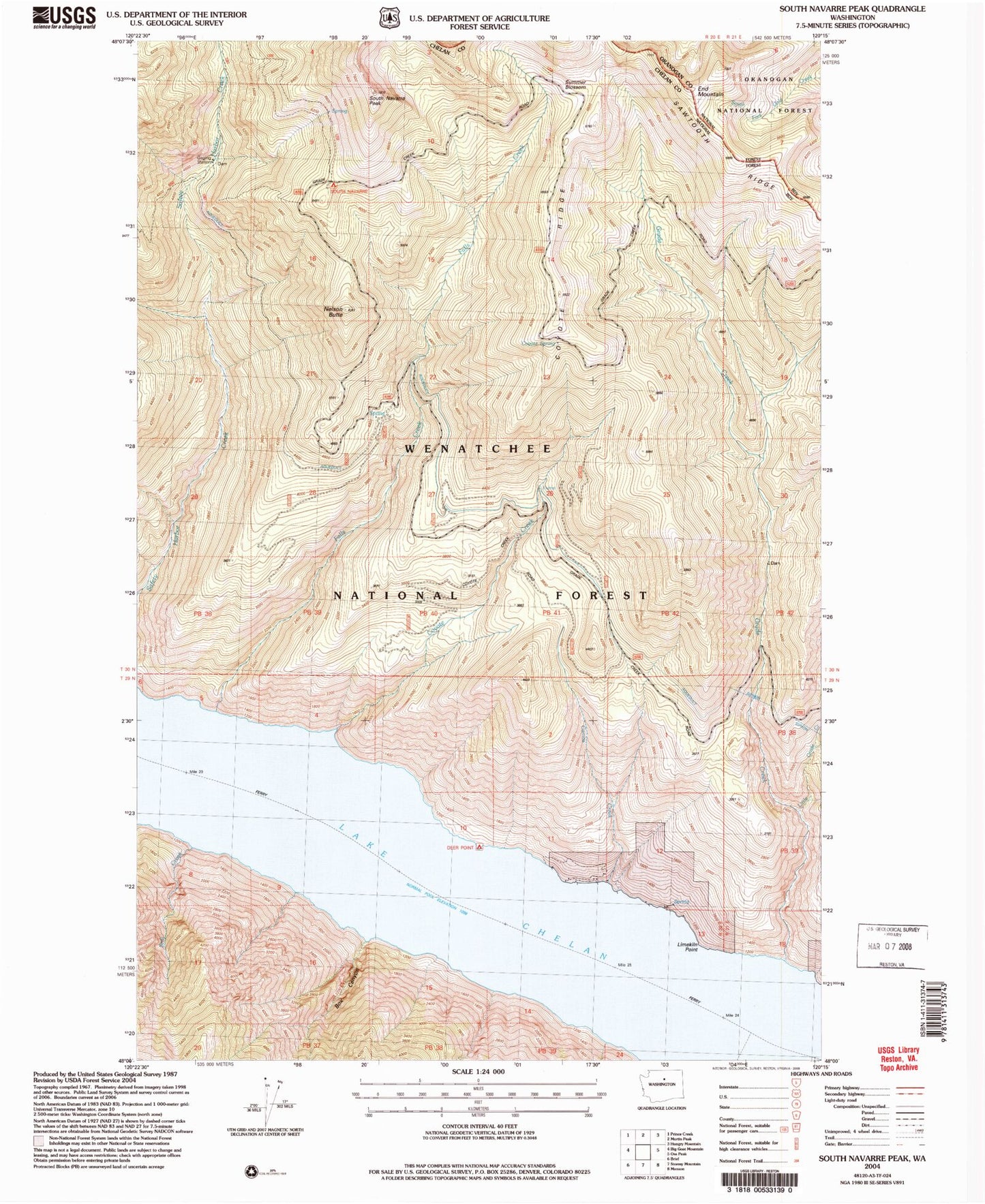
Historical USGS topographic quad map of South Navarre Peak in the state of Washington. Map scale may vary for some years, but is generally around 1:24,000. Print size is approximately 24" x 27"
This quadrangle is in the following counties: Chelan, Okanogan.
The map contains contour lines, roads, rivers, towns, and lakes. Printed on high-quality waterproof paper with UV fade-resistant inks, and shipped rolled.
Contains the following named places: Box Canyon, Camas Creek, Coyote Creek, Coyote Ridge, Coyote Spring, Deer Point, Deer Point Campground, End Mountain, Falls Creek, Grade Creek, Lake Chelan, Limekiln Point, Little Grade Creek, Nelson Butte, Nelson Butte Lookout, Safety Harbor Creek Campground, South Navarre Campground, South Navarre Peak, Still Creek, Summer Blossom, ZIP Code: 98816