MyTopo
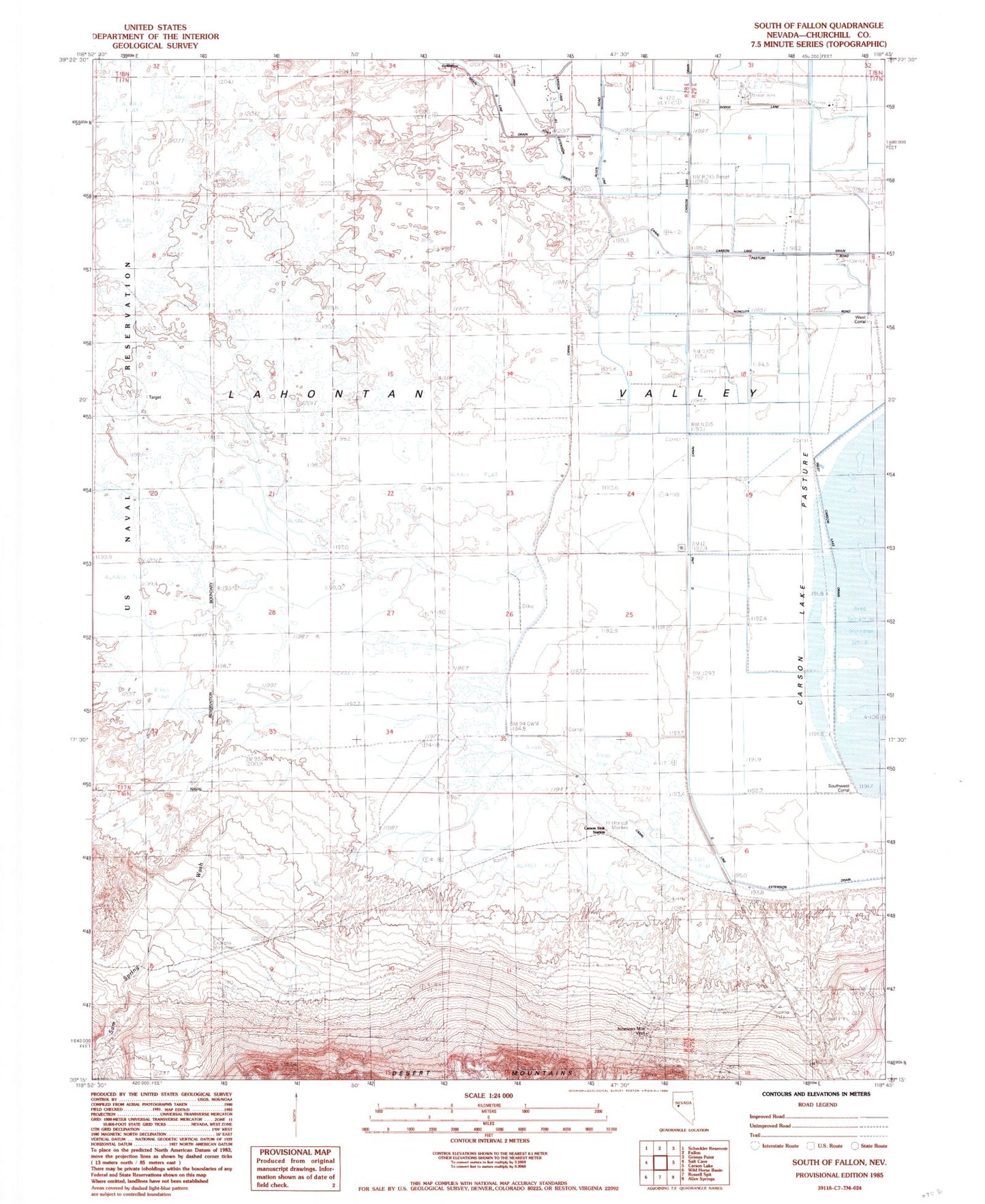
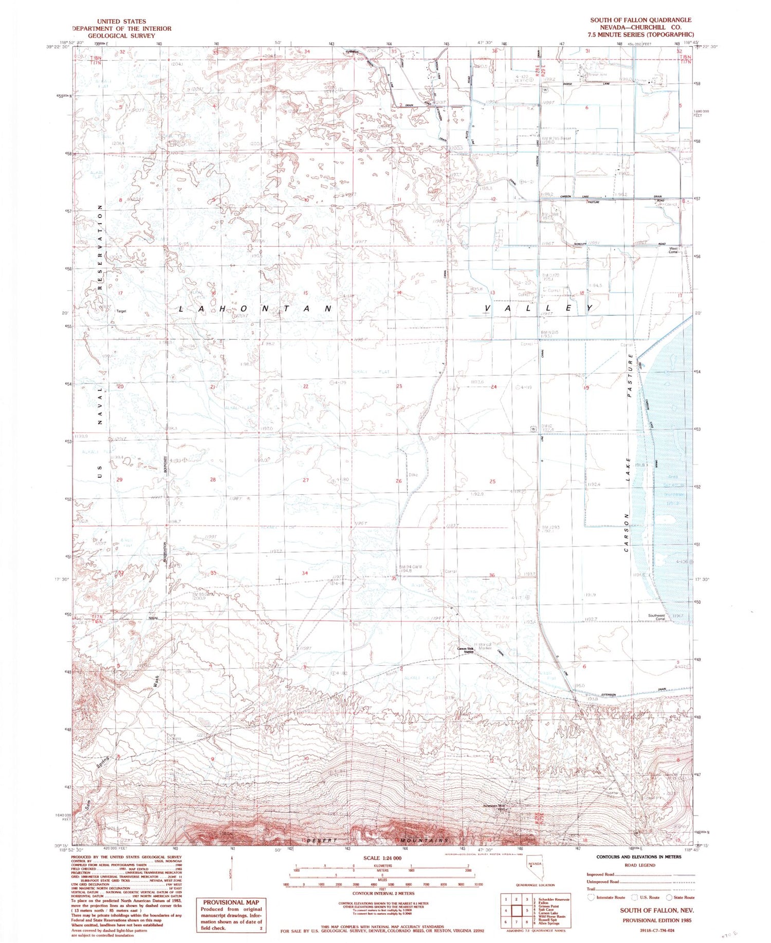
Classic USGS South of Fallon Nevada 7.5'x7.5' Topo Map
Couldn't load pickup availability
Historical USGS topographic quad map of South of Fallon in the state of Nevada. Map scale may vary for some years, but is generally around 1:24,000. Print size is approximately 24" x 27"
This quadrangle is in the following counties: Churchill.
The map contains contour lines, roads, rivers, towns, and lakes. Printed on high-quality waterproof paper with UV fade-resistant inks, and shipped rolled.
Contains the following named places: Carson Lake 1 Drain, Carson Lake A1 Extension Drain, Carson Sink Station, Douglass, Fort Findley, G 3 Canal, G Line Canal, G Line Drain, G Line Extension Drain, Island School, Nineteen Mile Well, Pony Express Monument, Sam Spring Wash, Smith Ranch, Southwest Corral, West Carson Lake Drain, West Corral