MyTopo
Classic USGS South of Four Buttes Montana 7.5'x7.5' Topo Map
Couldn't load pickup availability
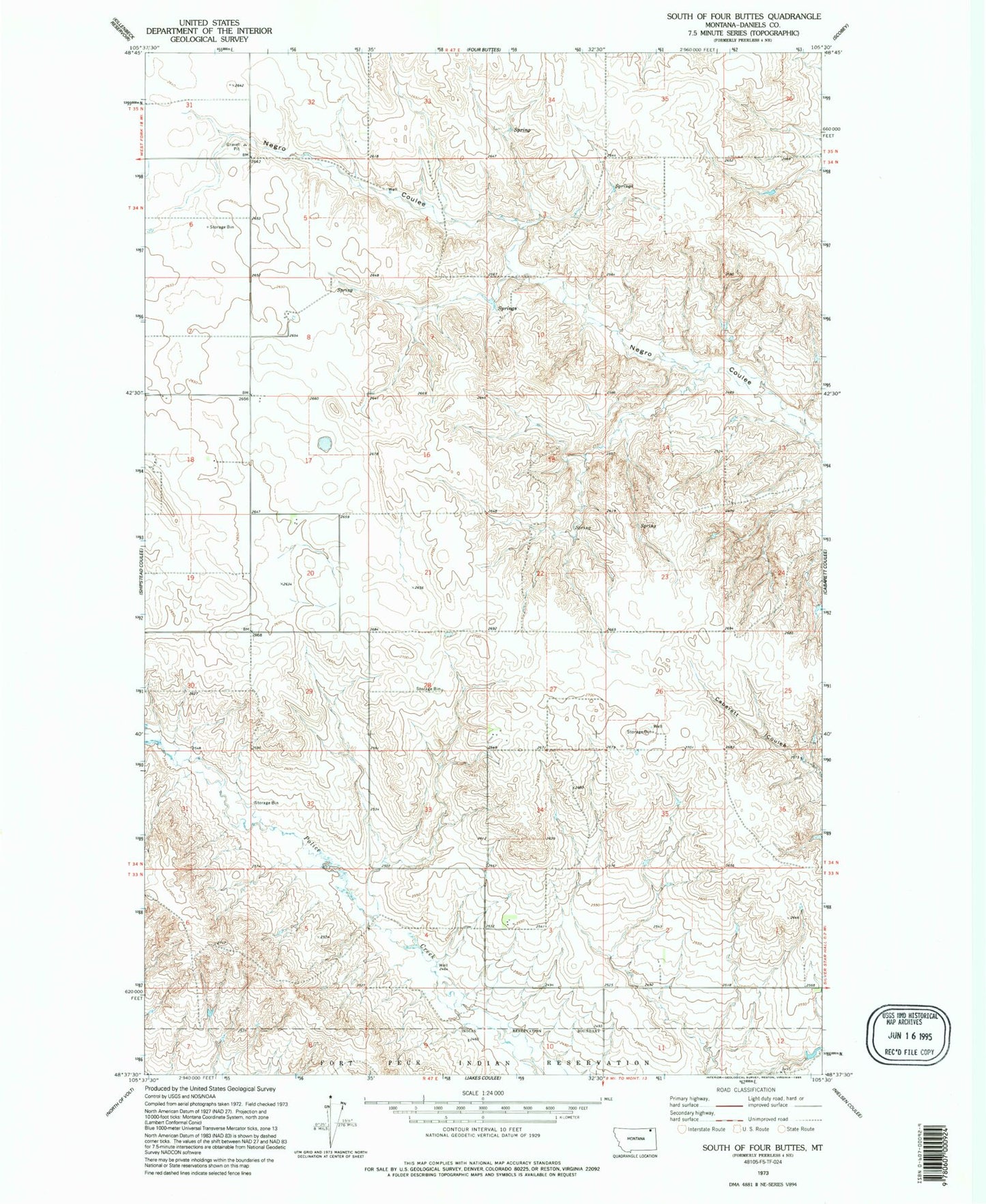
Historical USGS topographic quad map of South of Four Buttes in the state of Montana. Map scale may vary for some years, but is generally around 1:24,000. Print size is approximately 24" x 27"
This quadrangle is in the following counties: Daniels.
The map contains contour lines, roads, rivers, towns, and lakes. Printed on high-quality waterproof paper with UV fade-resistant inks, and shipped rolled.
Contains the following named places: 33N47E01DBAC01 Well, 33N47E03BCDD01 Well, 33N47E03BCDD02 Well, 33N47E04CBBB01 Well, 33N47E09AAAA01 Well, 33N47E09AADA01 Well, 34N47E04DCBD01 Well, 34N47E08BDBD01 Well, 34N47E09ADCD01 Well, 34N47E17DCAA01 Well, 34N47E18DBAD01 Well, 34N47E19DAAB01 Well, 34N47E20BAAB01 Well, 34N47E20BAAC01 Well, 34N47E20BBBD01 Well, 34N47E26CDAC01 Well, 34N47E27CCAD01 Well, 34N47E36ABAC01 Well, 34N48E04BCAB01 Well