MyTopo
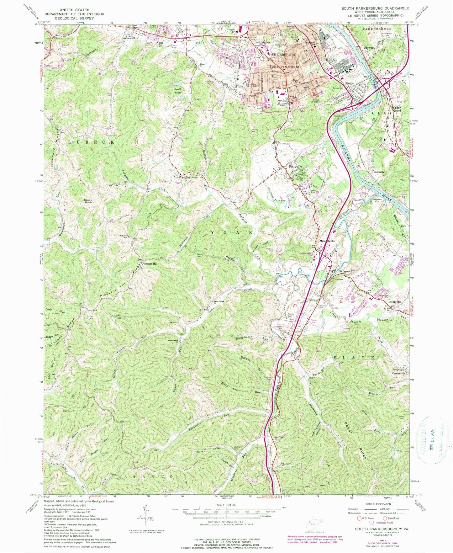
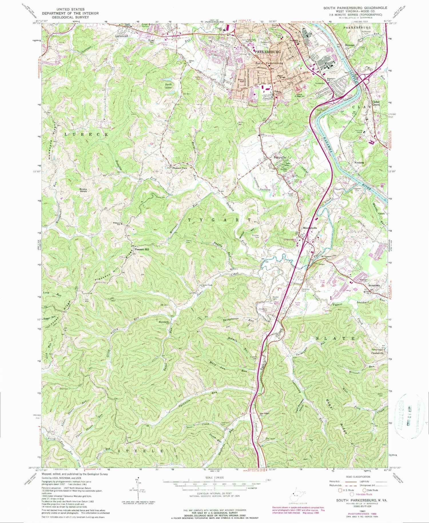
Classic USGS South Parkersburg West Virginia 7.5'x7.5' Topo Map
Couldn't load pickup availability
Historical USGS topographic quad map of South Parkersburg in the state of West Virginia. Typical map scale is 1:24,000, but may vary for certain years, if available. Print size: 24" x 27"
This quadrangle is in the following counties: Wood.
The map contains contour lines, roads, rivers, towns, and lakes. Printed on high-quality waterproof paper with UV fade-resistant inks, and shipped rolled.
Contains the following named places: Badgley Fork, Big Tygart Cemetery, Blair Cemetery, Bonnivale, Butcher Cemetery, Compton Cemetery, Deem Cemetery, Deem Cemetery, Dove Creek, Edgelawn School (historical), Edison Middle School, Egypt Run, Evergreen Cemetery, Fairplains Elementary School, Franklin Junior High School (historical), Gihon Church, Gihon Elementary School, Gospel Chapel, Graham Cemetery, Green Valley Run, Holmes Run, Homewood Ridge, Jackson Cemetery, Jackson Run, Little Tygart Creek, Lockhart Run, Lower Sheets Run, Mary Ann Run, Mathews Cemetery, McPherson Cemetery, Mill Run, Mineral Wells, Mineralwells Church, Missouri Run, Morrison Cemetery, Mount Zion Church, Paddle Run, Pettyville, Pleasant Hill, Pleasant Hill Ridge, Pleasant View, Rayon School (historical), Reeder Cemetery, Rocklick Run, Ruble Cemetery, Ruble Run, Sams Cemetery, Sams Creek, Sams Creek Church, Shingletree Run, Smith Lakes, South Parkersburg, Stephens Cemetery, Stephens Cemetery, Stephens Run, Sugarcamp Run, Sunset Memory Gardens, Susan Run, Sycamore Run, Tight Squeeze Hollow, Tracewell Cemetery, Turkeypen Run, Tygart Creek, Tygart School (historical), Upper Sheets Run, Valley Chapel, Whites Run, Wildcat Hollow, Williams School (historical), Dry Run, Cedar Grove, Creels, Larkmead, Mount Pleasant United Methodist Church, Nicolette, Scoby Knob, Stewart, Apostolic Hour of Faith Church, Bickel Estates, Broadway Baptist Church, Broadway Church of the Nazarene, Broadway Gospel Mission, Cedar Grove Elementary School (historical), Crestview Park, Edgelawn United Methodist Church, Epworth United Methodist Church, Faith Tabernacle, Gihon Village Shopping Center, Grace Brethren Church, Lincolnshire, Martin Elementary School, Mineral Acres, Mineral Wells Elementary School, Mount Pleasant Estates, Oakbrook, West Virginia University at Parkersburg, Parkersburg South High School, Scott Field, Society Hill Acres, South Hills Estates, South Hills Golf Club, South Parkersburg United Methodist Church, Southgate Shopping Center, Southmoor Heights, Tenth Avenue Church of God, Trinity United Methodist Church, Windsor Estates, Scott Field Airport (historical), Upper Smith Dam, WVPG-FM (Parkersburg), Ball School (historical), Cothem School (historical), Dombey (historical), Fountain Spring, Green Valley School (historical), Home Wood School (historical), Hope Hill School (historical), Leafy Glen School (historical), Lightner Memorial Missionary United Methodist Church, Locust Ridge School (historical), Locust Valley School (historical), Lucky (historical), Mineral Wells Post Office, New Era School (historical), Pisgah Church (historical), Pleasant Valley School (historical), Polandale, Seven Pines School (historical), Society Hill School (historical), South Parkersburg Branch Library, Sunnyside School (historical), Sycamore Run School (historical), Tygart Valley School (historical), Wood County, Tygart District, Cedar Grove Cemetery, Foley Cemetery, Mount Pleasant United Methodist Church Cemetery, Mount Zion Cemetery, Pleasant Hill Cemetery, Pleasant View Cemetery, Posey Cemetery, Tracewell Cemetery, Wright Cemetery, Vandevier Cemetery, Caperton Center for Applied Technology Center, Franklin Elementary School, Wood County Technical Center, Mineralwells Census Designated Place, Rayon Trek Center (historical), West Virginia Division of Forestry Wood County Field Office, Mineral Wells Volunteer Fire Department, Parkersburg Fire Department Station 5, Fairplains/TREK, Woodridge Plantation Golf Course, I-77 L Kanawha River N, Little Kanawha River South, West Virginia State Police Troop 4 - Parkersburg Detachment, West Virginia University Police Department Parkersburg


