MyTopo
Classic USGS South Ponte Vedra Beach Florida 7.5'x7.5' Topo Map
Regular price
$16.95
Regular price
Sale price
$16.95
Unit price
per
Couldn't load pickup availability
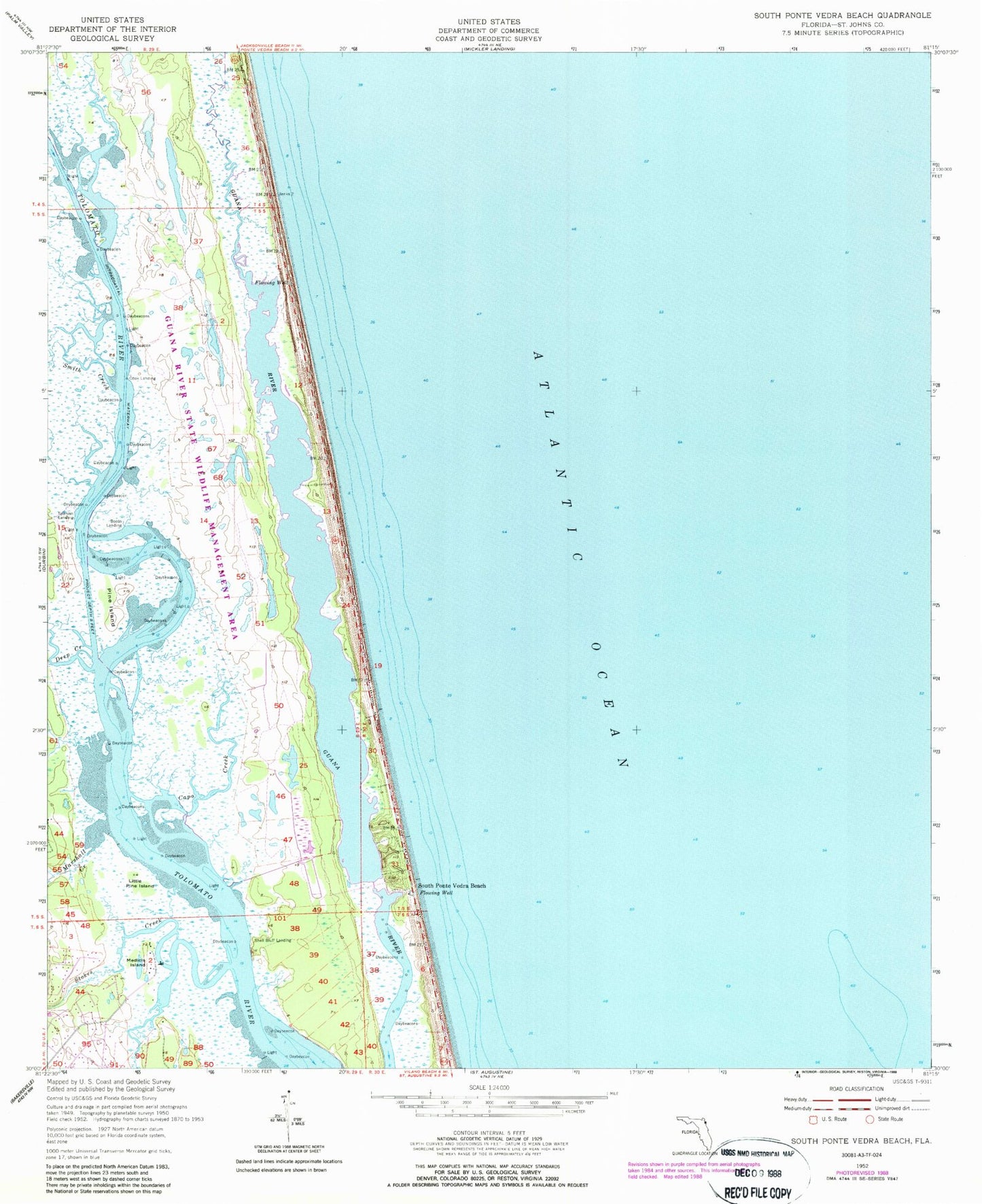
Historical USGS topographic quad map of South Ponte Vedra Beach in the state of Florida. Typical map scale is 1:24,000, but may vary for certain years, if available. Print size: 24" x 27"
This quadrangle is in the following counties: St. Johns.
The map contains contour lines, roads, rivers, towns, and lakes. Printed on high-quality waterproof paper with UV fade-resistant inks, and shipped rolled.
Contains the following named places: Booth Landing, Capo Creek, Cook Landing, Deep Creek, Little Pine Island, Marshall Creek, Medicis Island, Pine Island, Shell Bluff Landing, Smith Creek, South Ponte Vedra Beach, Spanish Landing, Stokes Creek, Guana River State Park, Guano Lake, Guana Dam