MyTopo
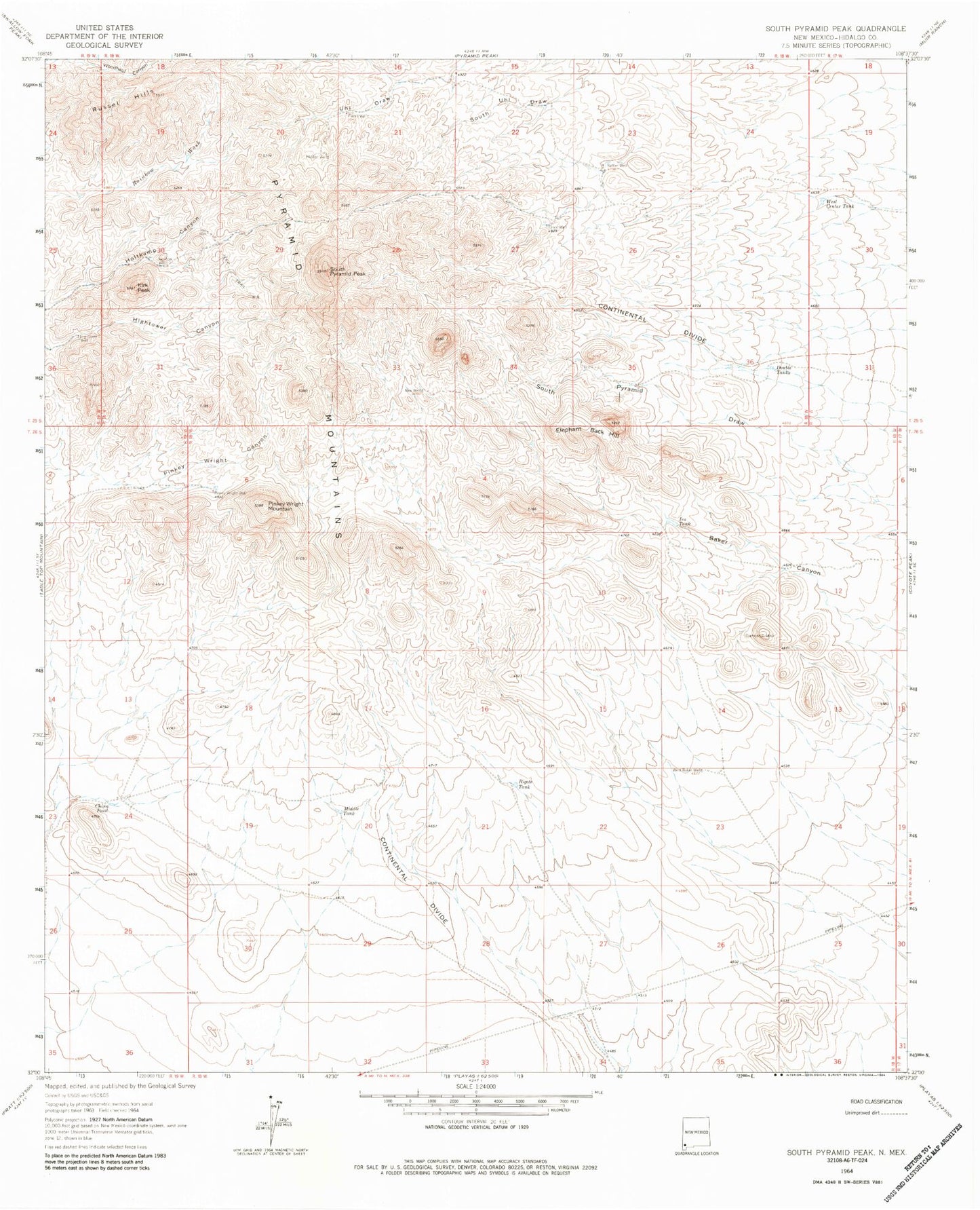
Classic USGS South Pyramid Peak New Mexico 7.5'x7.5' Topo Map
Couldn't load pickup availability
Historical USGS topographic quad map of South Pyramid Peak in the state of New Mexico. Map scale may vary for some years, but is generally around 1:24,000. Print size is approximately 24" x 27"
This quadrangle is in the following counties: Hidalgo.
The map contains contour lines, roads, rivers, towns, and lakes. Printed on high-quality waterproof paper with UV fade-resistant inks, and shipped rolled.
Contains the following named places: Bigote Tank, China Pond, Cinco Well, Double Tanks, Elephant Back Hill, Hidden Well, Hightower Well, Hill Well, Ira Tank, Kirk Peak, Middle Tank, New Well, Piedra Wells, Pinkey Wright Mountain, Pinkey Wright Well, Rainbow Well, Rattler Well, Russel Hills, South Pyramid Peak, West Baker Well, West Center Tank