MyTopo
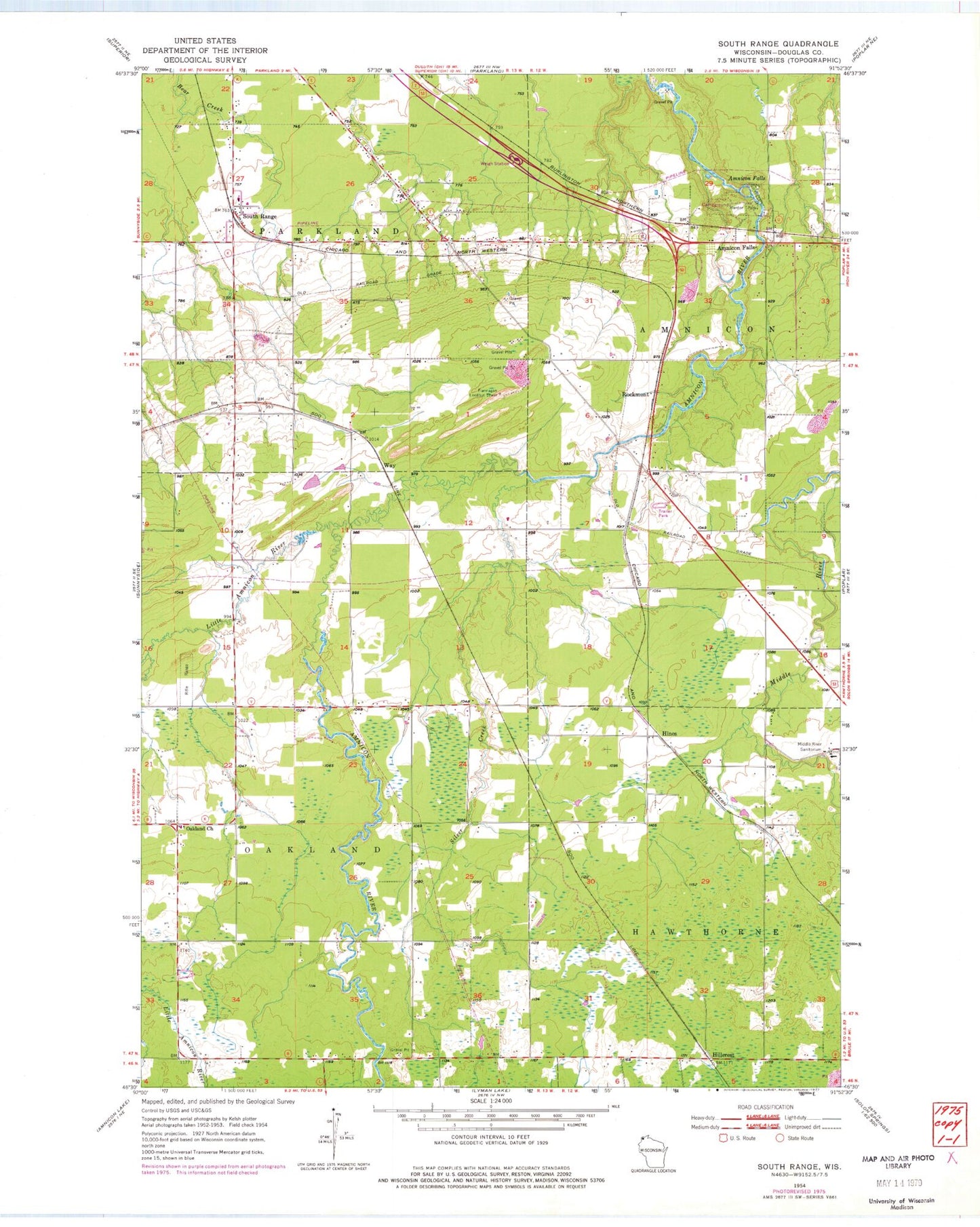
Classic USGS South Range Wisconsin 7.5'x7.5' Topo Map
Couldn't load pickup availability
Historical USGS topographic quad map of South Range in the state of Wisconsin. Map scale may vary for some years, but is generally around 1:24,000. Print size is approximately 24" x 27"
This quadrangle is in the following counties: Douglas.
The map contains contour lines, roads, rivers, towns, and lakes. Printed on high-quality waterproof paper with UV fade-resistant inks, and shipped rolled.
Contains the following named places: Amnicon Falls, Bardon Park, Flannagan Lookout Tower, Hillcrest, Hines, Little Amnicon River, Middle River, Middle River Sanitorium, Oakland Church, Oakland Volunteer Fire Department, Parkland Volunteer Fire Department, Rockmont, Silver Creek, South Range, South Range Post Office, Town of Parkland, Way, ZIP Code: 54874