MyTopo
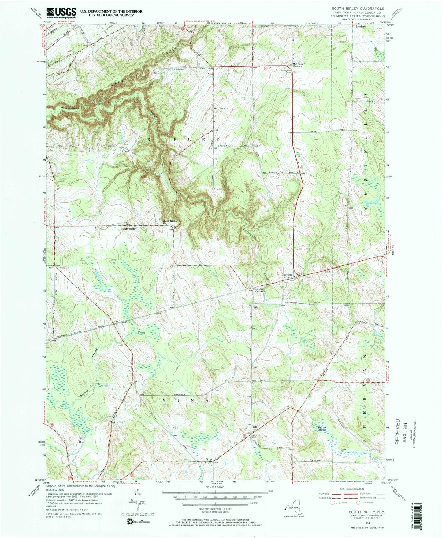
Classic USGS South Ripley New York 7.5'x7.5' Topo Map
Couldn't load pickup availability
Historical USGS topographic quad map of South Ripley in the state of New York. Map scale may vary for some years, but is generally around 1:24,000. Print size is approximately 24" x 27"
This quadrangle is in the following counties: Chautauqua.
The map contains contour lines, roads, rivers, towns, and lakes. Printed on high-quality waterproof paper with UV fade-resistant inks, and shipped rolled.
Contains the following named places: Beaver Marsh, Belson Creek, Blueberry Sky Farm Winery, Christian Missionary Alliance Church, Mina, Mina Cemetery, Minnegar Corners, Pratt's Eastern Divide Airport, Raters Corners, Ripley Fire District Station 2, Sheldon Corners, South Ripley, South Ripley Cemetery, South Ripley Church, Town of Mina, Town of Ripley, Wattlesburg, ZIP Codes: 14736, 14775