
MyTopo
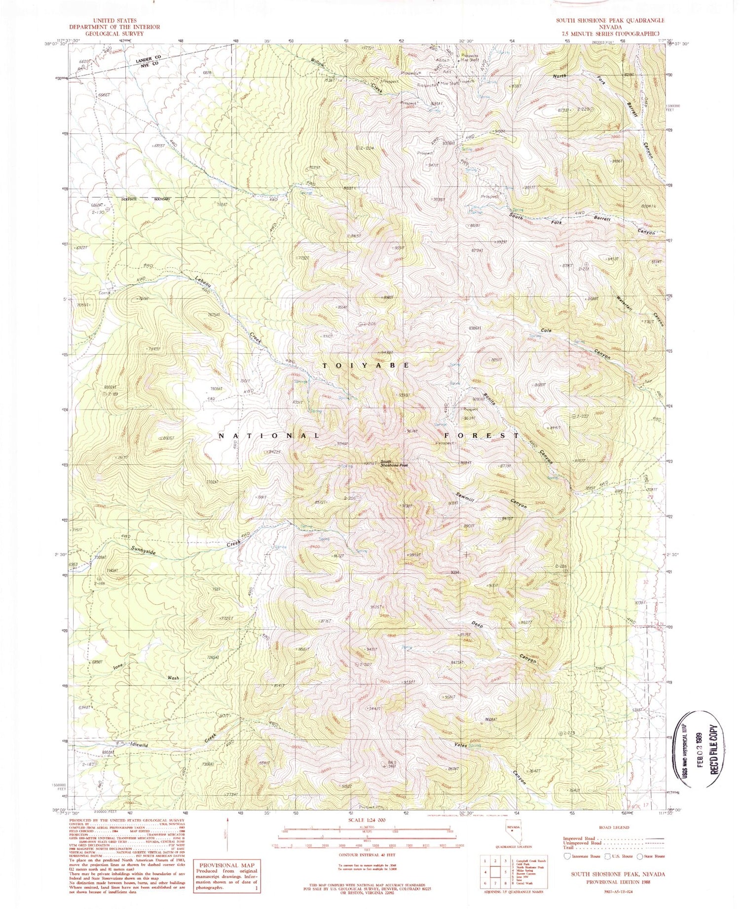
Classic USGS South Shoshone Peak Nevada 7.5'x7.5' Topo Map
Couldn't load pickup availability
Historical USGS topographic quad map of South Shoshone Peak in the state of Nevada. Map scale may vary for some years, but is generally around 1:24,000. Print size is approximately 24" x 27"
This quadrangle is in the following counties: Lander, Nye.
The map contains contour lines, roads, rivers, towns, and lakes. Printed on high-quality waterproof paper with UV fade-resistant inks, and shipped rolled.
Contains the following named places: Bald Mountain, Bonita, Bonita Canyon, Bonita Post Office, Cole Canyon, Deep Canyon, Dottie Lee Mine, Grey Eagle Mine, Hazel E Mine, Idlewild, Idlewild Canyon, Last Chance Mine, Le Beau Ranch, Midas, Midas Post Office, Sawmill Canyon, South Shoshone Peak, War Cloud Mine, War Eagle Mine


