MyTopo
Classic USGS South Whitley East Indiana 7.5'x7.5' Topo Map
Couldn't load pickup availability
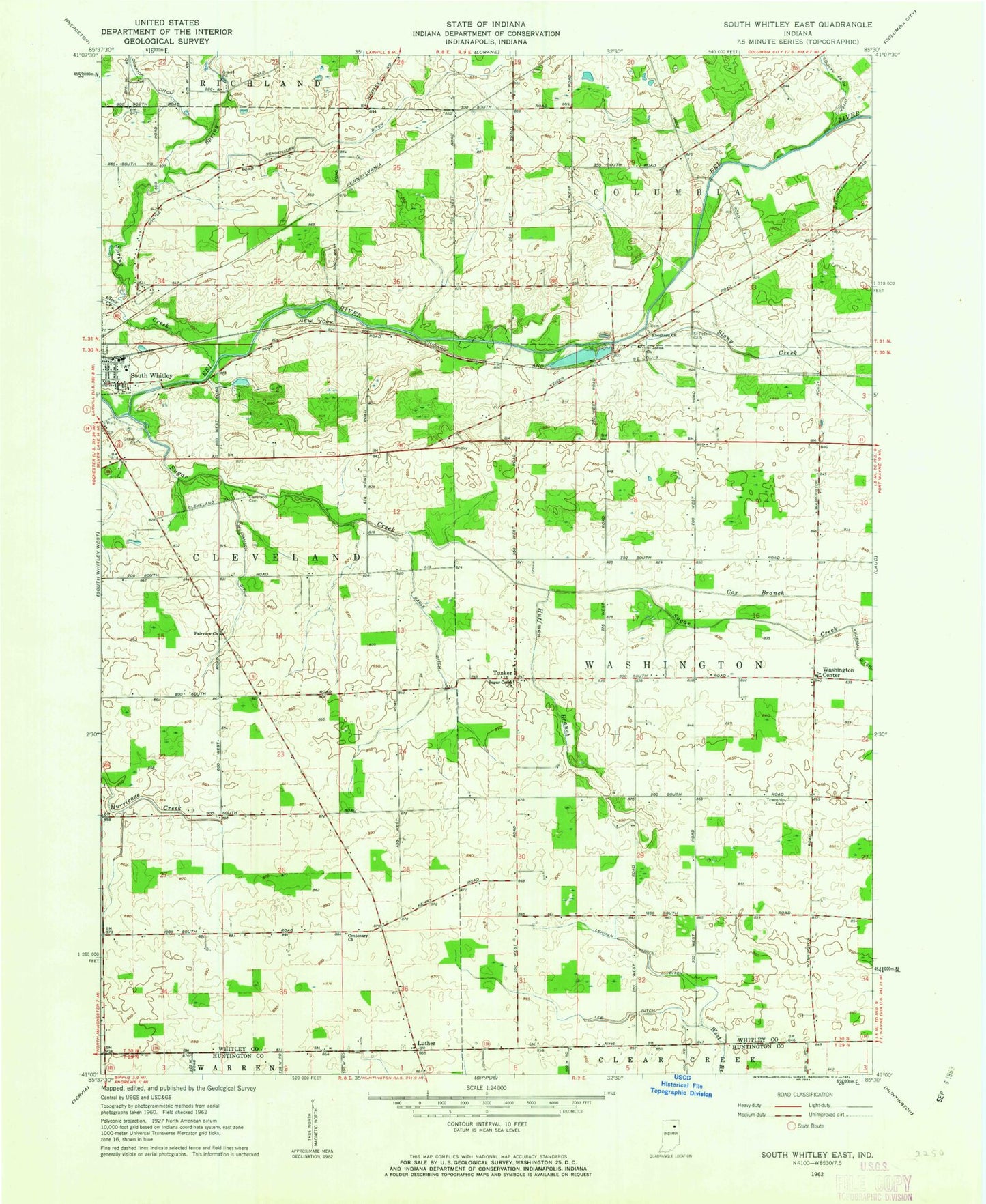
Historical USGS topographic quad map of South Whitley East in the state of Indiana. Map scale may vary for some years, but is generally around 1:24,000. Print size is approximately 24" x 27"
This quadrangle is in the following counties: Huntington, Whitley.
The map contains contour lines, roads, rivers, towns, and lakes. Printed on high-quality waterproof paper with UV fade-resistant inks, and shipped rolled.
Contains the following named places: Centenary Church, Clear Creek, Cleveland Cemetery, County Farm Ditch, Cox Branch, Eberhard Church, Fairview Church, Gable Ditch, Huffman Branch, Lee Ditch, Lehman Ditch, Luther, Saint Johns Church, Saint Peters Cemetery, Schoenauer Ditch, South Whitley Pit, Spring Creek, Stony Creek, Sugar Creek, Sugar Creek Church, Township of Washington, Tunker, Washington Center, Washington Township School, Washington Township Volunteer Fire Department Columbia City, Williamson Ditch, ZIP Code: 46787