
MyTopo
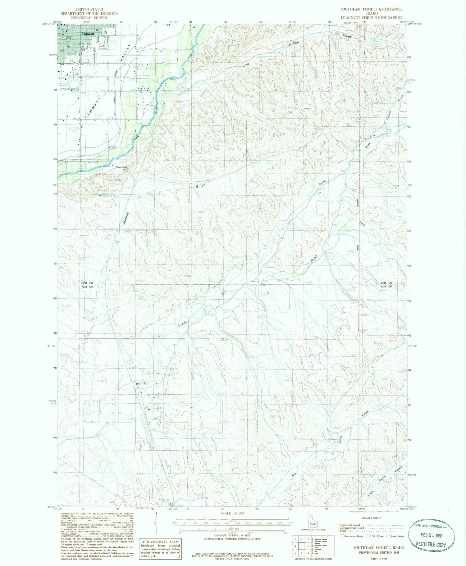
Classic USGS Southeast Emmett Idaho 7.5'x7.5' Topo Map
Couldn't load pickup availability
Historical USGS topographic quad map of Southeast Emmett in the state of Idaho. Map scale may vary for some years, but is generally around 1:24,000. Print size is approximately 24" x 27"
This quadrangle is in the following counties: Ada, Gem.
The map contains contour lines, roads, rivers, towns, and lakes. Printed on high-quality waterproof paper with UV fade-resistant inks, and shipped rolled.
Contains the following named places: Aikman, Butte View Elementary School, City of Emmett, Emmett, Emmett Junior High School, Emmett Plaza, Freezeout Hill, Jackass Gulch, KJHY-FM (Emmett), Last Chance Canal, Lincoln School, North Fork Willow Creek, Sand Hollow Creek, Schiller Creek, South Fork Willow Creek, ZIP Code: 83616


