MyTopo
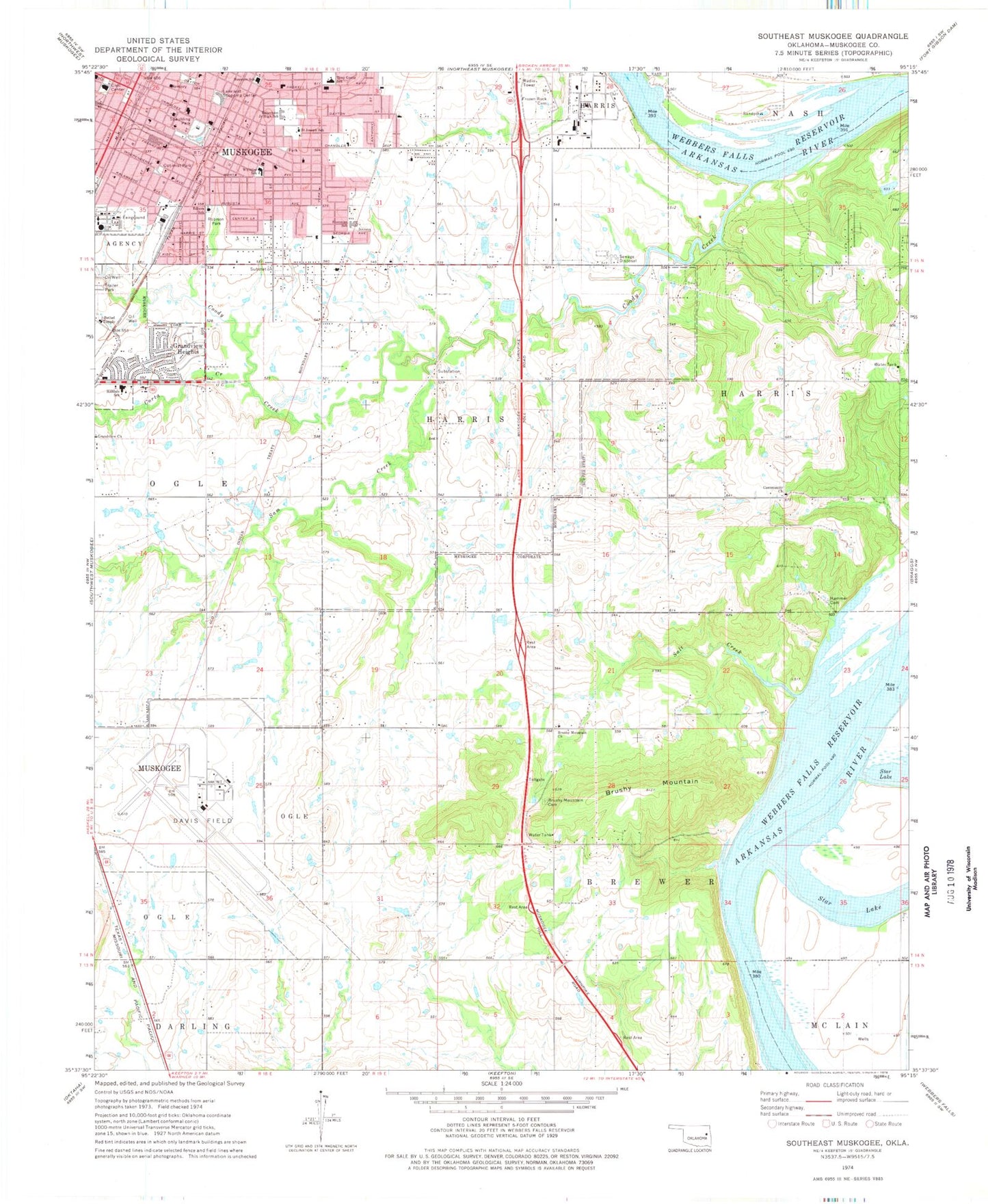
Classic USGS Southeast Muskogee Oklahoma 7.5'x7.5' Topo Map
Couldn't load pickup availability
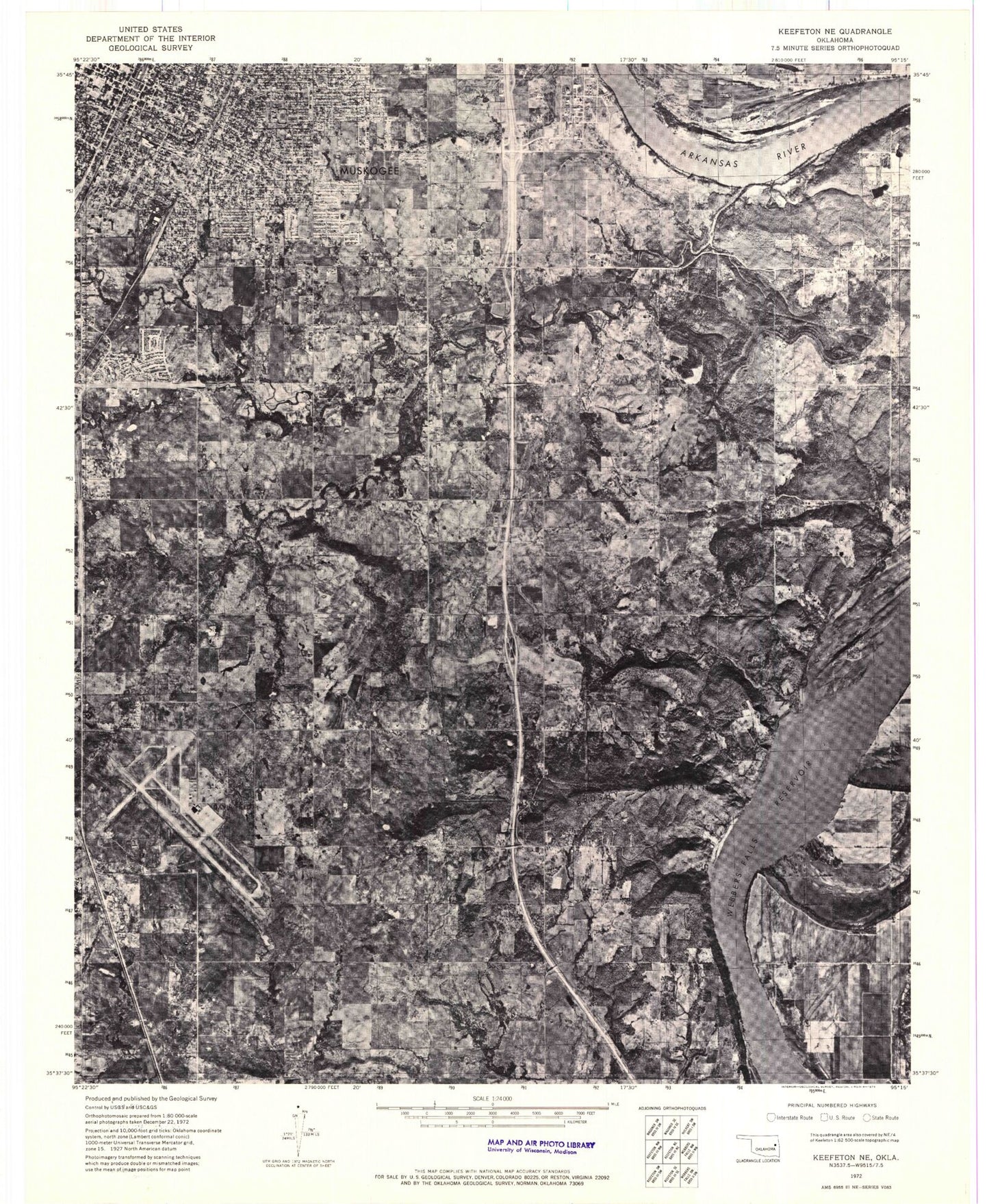
Historical USGS topographic quad map of Southeast Muskogee in the state of Oklahoma. Map scale may vary for some years, but is generally around 1:24,000. Print size is approximately 24" x 27"
This quadrangle is in the following counties: Muskogee.
The map contains contour lines, roads, rivers, towns, and lakes. Printed on high-quality waterproof paper with UV fade-resistant inks, and shipped rolled.
Contains the following named places: 7th and 8th Grade Center, Bethany Presbyterian Church, Bethel Temple, Bible Baptist Church, Bluebird Airport, Bouelevard Christian Church, Brushy Mountain, Brushy Mountain Cemetery, Brushy Mountain Church, Brushy Mountain Volunteer Fire Department, Calvary Baptist Church, Central Assembly of God Church, Central Baptist Church, Chandler Road Church-Christ, Christian Center Church, City of Muskogee, Coody Creek, Corta Creek, Creek Elementary School, East Point Christian Church, Eastern Heights Baptist Church, Eastside Community Church, Eastwood Shopping Center, Edison School, Elshaddai Fellowship Church, Evangelist Temple Baptist Church, Faith Deliverance Christian Church, First Assembly of God Church, First Church of God, First Church of the Nazarene, First Lutheran Church, First United Methodist Church, Frozen Rock Cemetery, Gooseneck Bend Volunteer Fire Department, Gospel Rescue Mission, Grace Bible Church, Grandview Chapel, Grandview Church, Grandview Heights, Grant Foreman Elementary School, Green Country Christian Church, Hammer Cemetery, Hilldale High School, Hilldale Middle School, Hilldale School District, Hilldale Upper Elementary School, Hope Lutheran Church, Houston School, Lakeland Shopping Center, Lighthouse Assembly of God Church, Morning Star Baptist Church, Muskogee, Muskogee Army Air Field, Muskogee Baptist Temple, Muskogee County Emergency Medical Services, Muskogee Division, Muskogee Police Department, Muskogee Public Schools Security, Muskogee-Davis Regional Airport, Oklahoma Highway Patrol Troop C, Oknoname 101005 Reservoir, Oknoname 10100k Dam, Optimist Park, Robison Park, Rose of Sharon Church, Saint Joseph Catholic School, Saint Joseph School, Saint Mark Baptist Church, Salt Creek, Sam Creek, Seventh Day Adventist Church, Shopton, Southeast Baptist Church, Spaulding Park, The Church of Jesus Christ of Latter Day Saints, The Meadows Subdivision Dam, The Meadows Subdivision Lake, Tony Goetz Elementary School, Township of Harris, Victory Pentecostal Church, Voice of Victory Church, Wesley United Methodist Church, Whittier Elementary School, York Street Christian Church, ZIP Code: 74403


