MyTopo
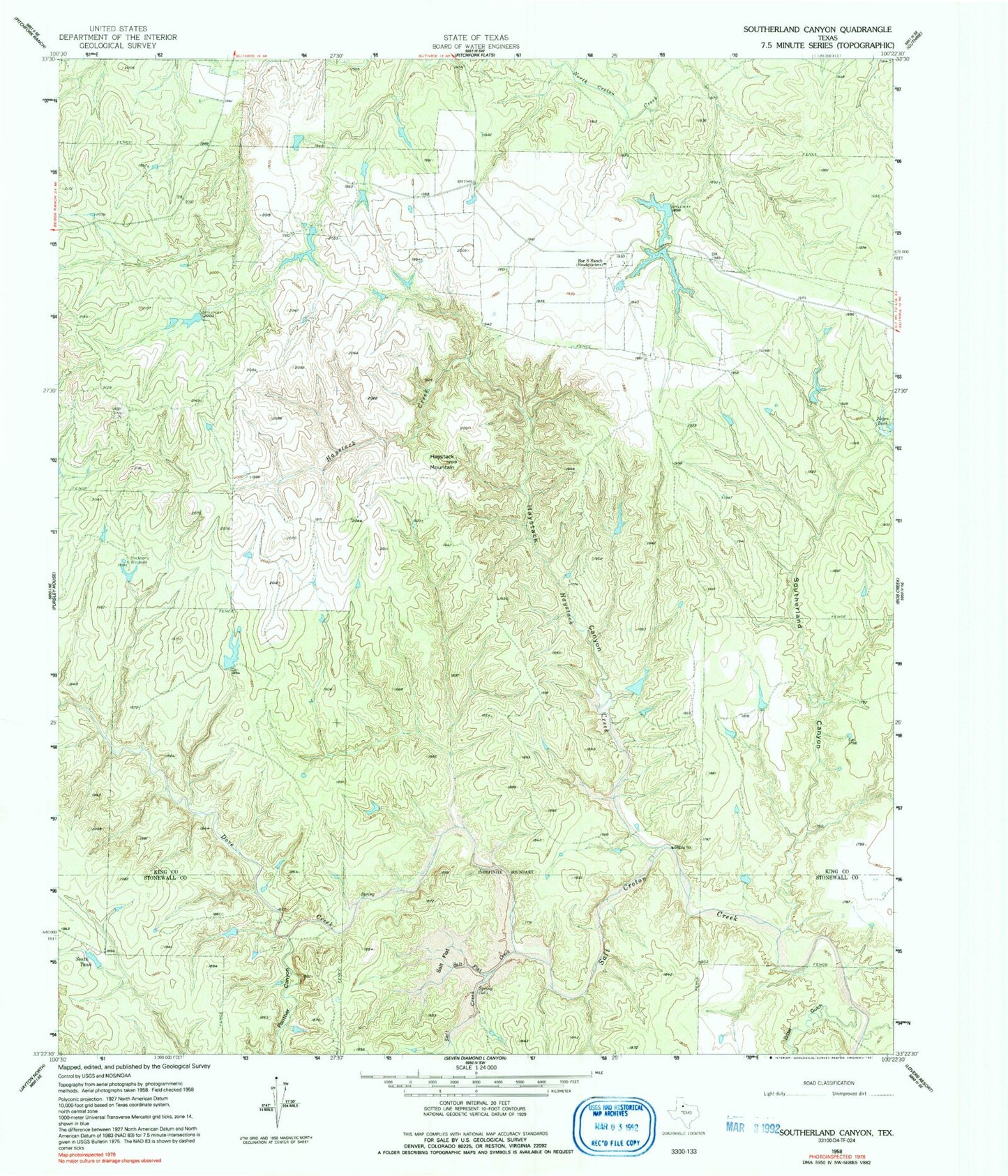
Classic USGS Southerland Canyon Texas 7.5'x7.5' Topo Map
Couldn't load pickup availability
Historical USGS topographic quad map of Southerland Canyon in the state of Texas. Map scale may vary for some years, but is generally around 1:24,000. Print size is approximately 24" x 27"
This quadrangle is in the following counties: King, Stonewall.
The map contains contour lines, roads, rivers, towns, and lakes. Printed on high-quality waterproof paper with UV fade-resistant inks, and shipped rolled.
Contains the following named places: Bar S Ranch, Bar S Ranch Airport, Bar S Ranch Lake, Bar S Ranch Lake Dam, Bar S Ranch Upper Lake, Bar S Ranch Upper Lake Dam, Bitter Gulch, Dove Creek, Dove Creek Spring, Hackberry Windmill, Haystack Brine Springs, Haystack Canyon, Haystack Creek, Haystack Mountain, Panther Canyon, Salt Creek, Salt Flat, Salt Flat Brine Spring, Salt Flat Creek, South Tank, Southerland Canyon, Texas No Name Number 21 Dam