MyTopo
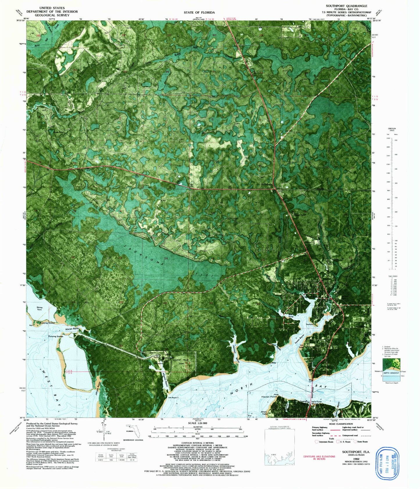
Classic USGS Southport Florida 7.5'x7.5' Topo Map
Couldn't load pickup availability
Historical USGS topographic quad map of Southport in the state of Florida. Map scale may vary for some years, but is generally around 1:24,000. Print size is approximately 24" x 27"
This quadrangle is in the following counties: Bay.
The map contains contour lines, roads, rivers, towns, and lakes. Printed on high-quality waterproof paper with UV fade-resistant inks, and shipped rolled.
Contains the following named places: Alligator Bayou, Cedar Hammock, Fannin Bayou, First Baptist Church of Southport, Haven Point, Holmes County Hospital, Johnson Bayou, Lynn Haven Golf Course, Mill Point, Newman Bayou, North Branch Burnt Mill Creek, North Bridge, San Carlos Chacatos, Sheephead Bayou, Southport, Southport Elementary School, Southport Post Office, Southport Volunteer Fire Department, Vicksburg, Vicksburg Fire Tower, Warren Bayou, WFBN-AM (Lynn Haven), ZIP Code: 32409