MyTopo
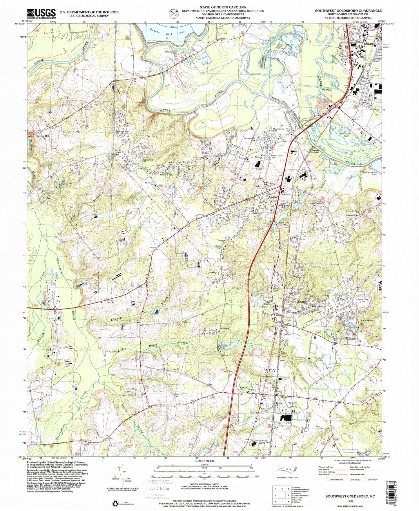
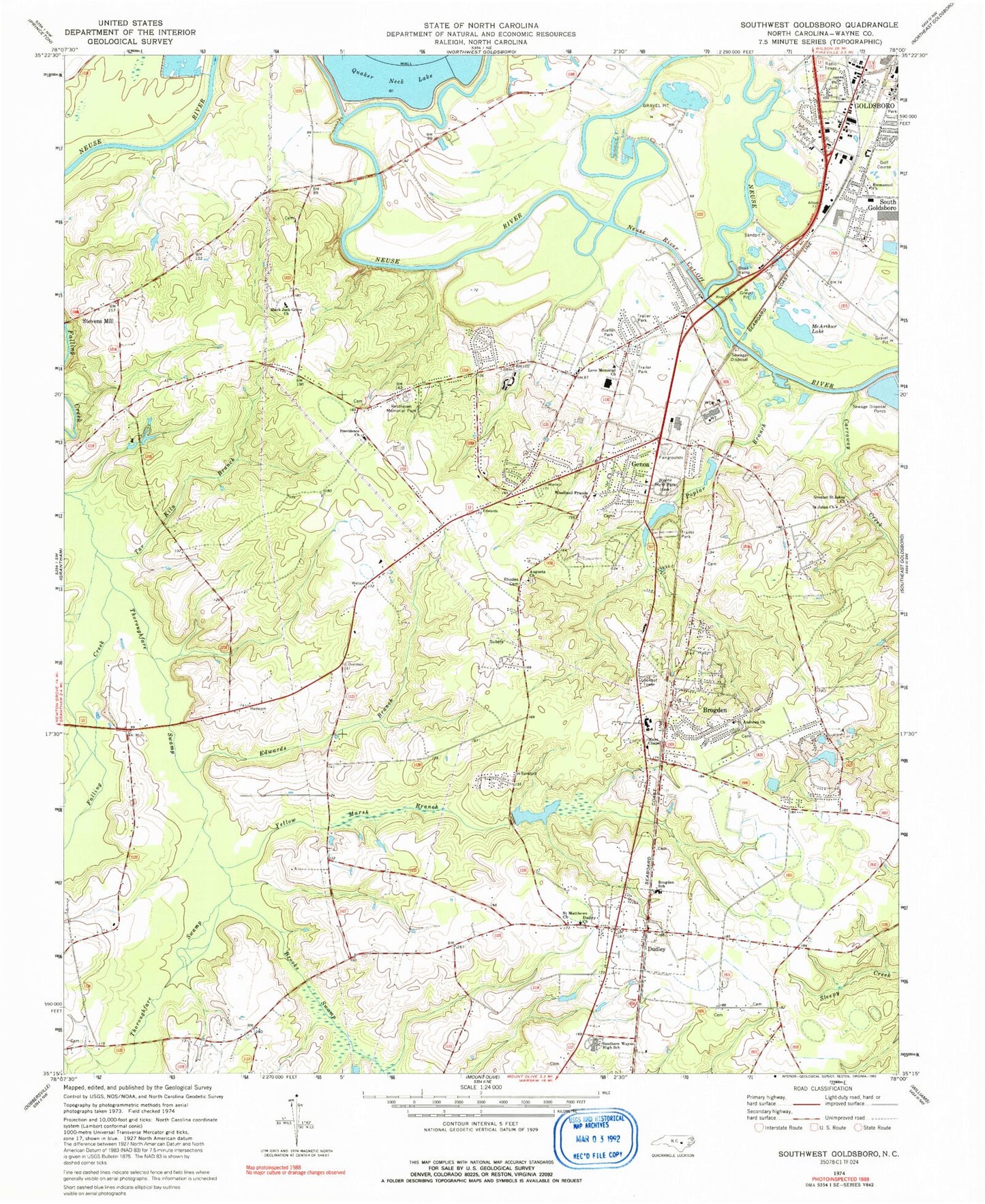
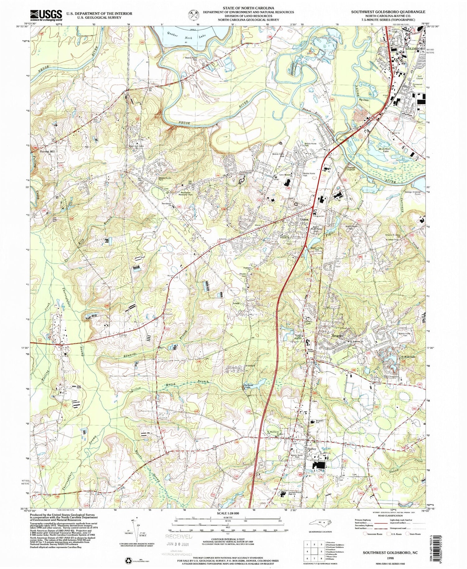
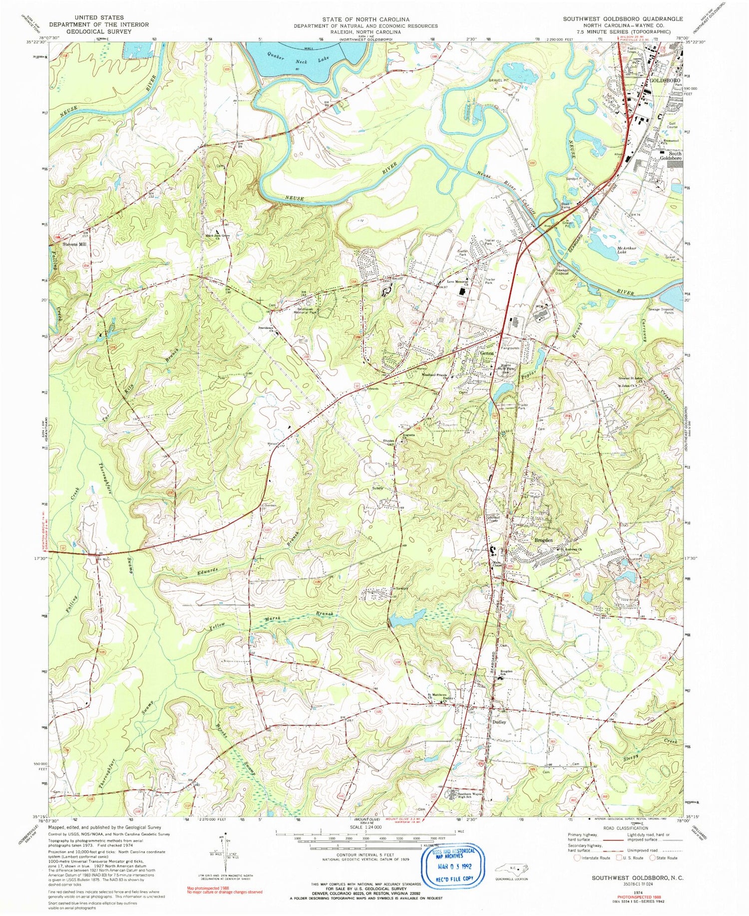
Classic USGS Southwest Goldsboro North Carolina 7.5'x7.5' Topo Map
Couldn't load pickup availability
Historical USGS topographic quad map of Southwest Goldsboro in the state of North Carolina. Map scale may vary for some years, but is generally around 1:24,000. Print size is approximately 24" x 27"
This quadrangle is in the following counties: Wayne.
The map contains contour lines, roads, rivers, towns, and lakes. Printed on high-quality waterproof paper with UV fade-resistant inks, and shipped rolled.
Contains the following named places: Augusta Church, Big Ditch, Black Jack Grove Church, Brogden, Brogden Census Designated Place, Brogden Junior High School, Brogden School, Brooks Swamp, Carraway Creek, Carver Heights, Dudley, Dudley Census Designated Place, Dudley Church, Dudley Fire Department - Wayne County Station 16, Dudley Post Office, Durhams Lake Dam, Edwards Branch, Edwards Mobile Home Park, Emmanuel Church, Fellowship Baptist Church, Foxfire, Genoa, Greater Saint Johns Church, Hillsdale, Horse Branch, J R Wells Lake A Dam, Lafayette Park, Lakewood Estates, Love Memorial Church, Mar Mac Volunteer Fire Department - Wayne County Station 15, Mar-Mac, Mar-Mac Census Designated Place, Mar-Mac Village, Mays Chapel, McArthur Manor, Neuse River Cut-Off, Pleasant Acres Mobile Home Park, Poplar Branch, Providence Church, Quaker Neck Lake Dam, Resthaven Memorial Park, Rhodes Cemetery, Riverview Mobile Home Park, Robin Lake Estates, Rollingwood Estates, Round-A-Bout Mobile Home Park, Saint Andrews Church, Saint Johns Church, Saint Matthews Church, Scott Hills, South Goldsboro, South Haven, Southern Mobile Home Village, Southern Wayne High School, Spring Hope, Stevens Mill, Summit, Tabernacle Prayer for All People, Tar Kiln Branch, Thoroughfare Swamp, Thoroughfare Volunteer Fire Department - Wayne County Station 18, Township of Brogden, Wayne County, Wayne Memorial Park, WFMC-AM (Goldsboro), White Oaks Estates, WOKN-FM (Goldsboro), Woodland Friends Church, Yellow Marsh Branch, ZIP Code: 28333


