MyTopo
Classic USGS Southwest Harney Lake Oregon 7.5'x7.5' Topo Map
Couldn't load pickup availability
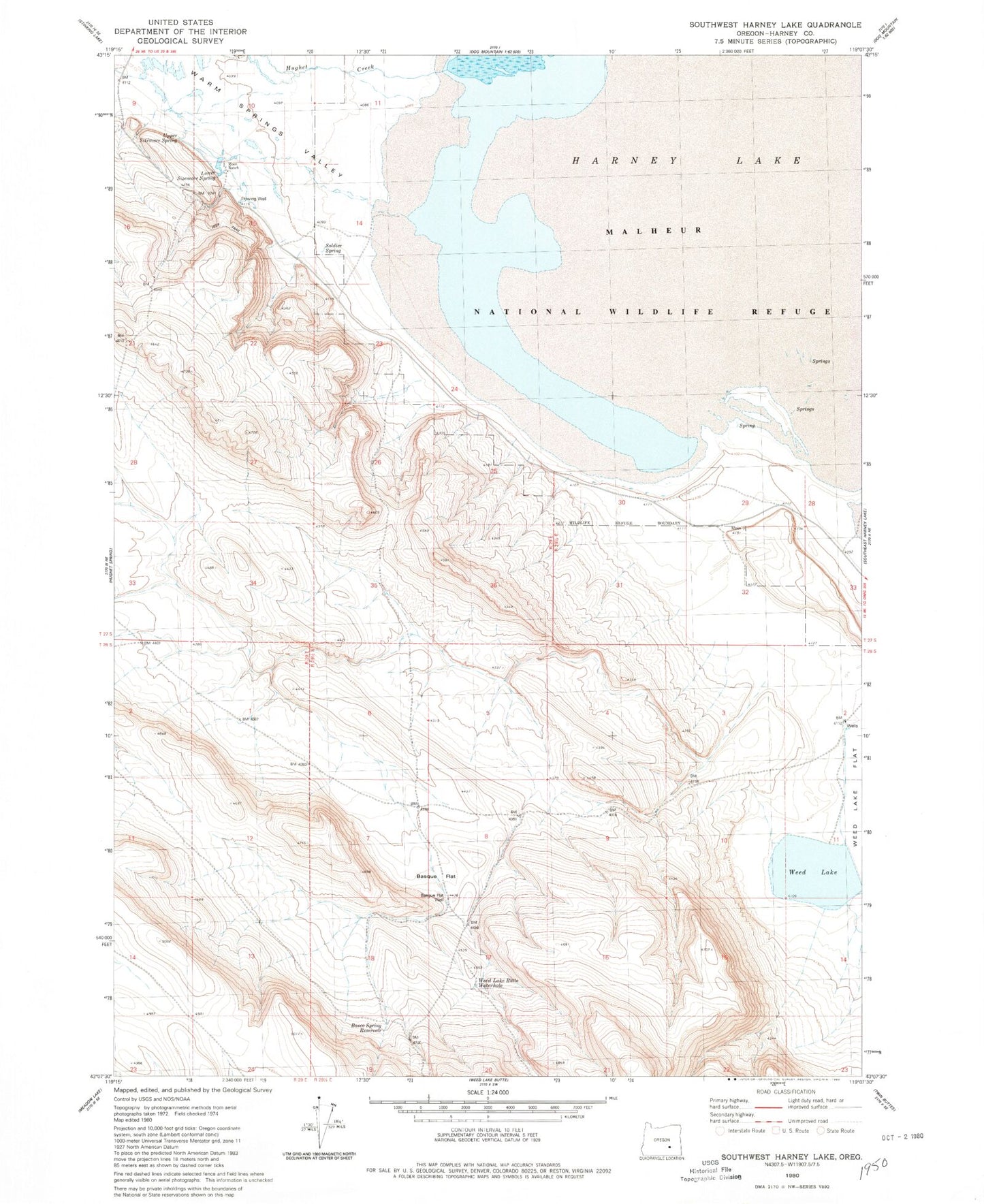
Historical USGS topographic quad map of Southwest Harney Lake in the state of Oregon. Map scale may vary for some years, but is generally around 1:24,000. Print size is approximately 24" x 27"
This quadrangle is in the following counties: Harney.
The map contains contour lines, roads, rivers, towns, and lakes. Printed on high-quality waterproof paper with UV fade-resistant inks, and shipped rolled.
Contains the following named places: Basco Spring Reservoir, Basque Flat, Basque Flat Well, Bathtub Spring, Harney Lake, Hughet Creek, Lower Sizemore Spring, Malheur National Wildlife Refuge, Moon Ranch, Soldier Spring, Upper Sizemore Spring, Warm Springs Valley, Weed Lake, Weed Lake Butte Waterhole, Weed Lake Dam