MyTopo
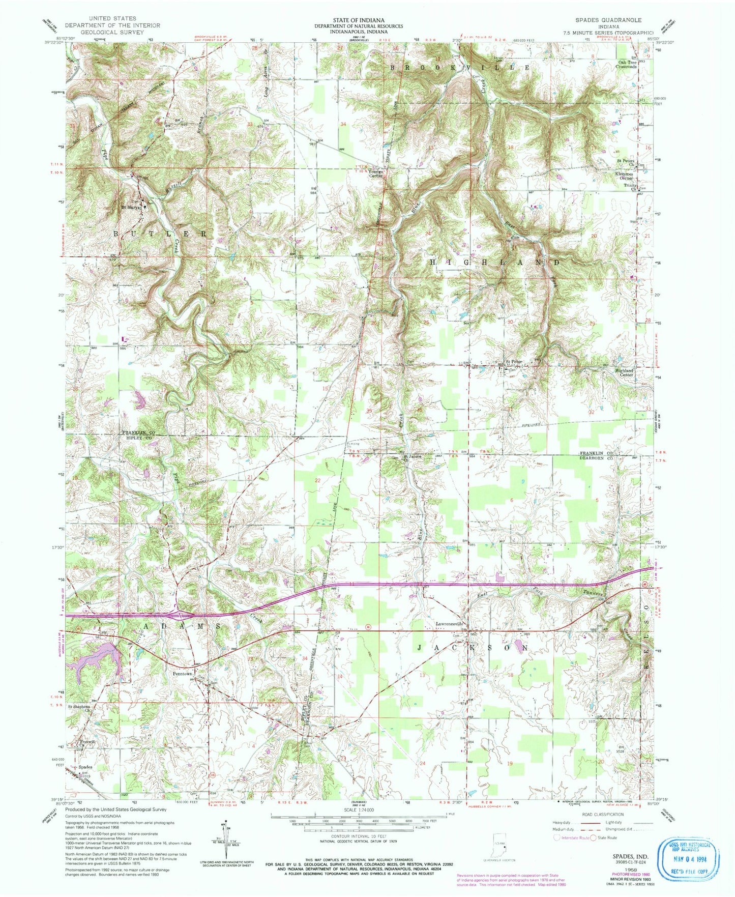
Classic USGS Spades Indiana 7.5'x7.5' Topo Map
Couldn't load pickup availability
Historical USGS topographic quad map of Spades in the state of Indiana. Map scale may vary for some years, but is generally around 1:24,000. Print size is approximately 24" x 27"
This quadrangle is in the following counties: Dearborn, Franklin, Ripley.
The map contains contour lines, roads, rivers, towns, and lakes. Printed on high-quality waterproof paper with UV fade-resistant inks, and shipped rolled.
Contains the following named places: Alden Cemetery, East Fork Blue Creek, Freewill Church, Glasselly School, Highland Center, Klemmes Corner, Lawrenceville, Oak Tree Crossroads, Penntown, Peterson School, Pritog School, Russell Branch, Saint Jacobs Church, Saint Marys, Saint Peter, Saint Peters Church, Saint Stephens Church, Spades, Tall Oaks Lake, Tall Oaks Lake Dam, Township of Butler, Township of Highland, Township of Jackson, Trinity Church, Usher Cemetery, Usher School, Wayne Kopp Lake, Wayne Kopp Lake Dam, Western Creek, Youngs Corner, Yung Church