MyTopo
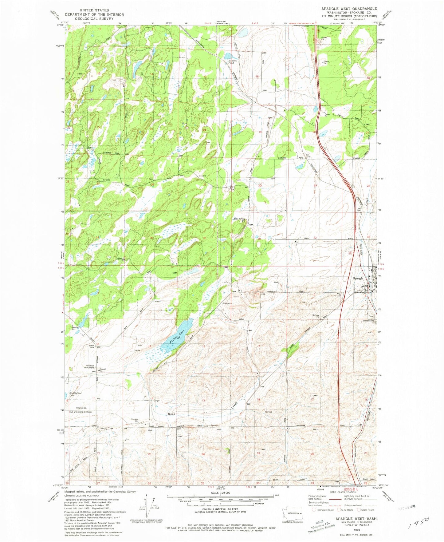
Classic USGS Spangle West Washington 7.5'x7.5' Topo Map
Regular price
$16.95
Regular price
Sale price
$16.95
Unit price
per
Couldn't load pickup availability
Historical USGS topographic quad map of Spangle West in the state of Washington. Map scale may vary for some years, but is generally around 1:24,000. Print size is approximately 24" x 27"
This quadrangle is in the following counties: Spokane.
The map contains contour lines, roads, rivers, towns, and lakes. Printed on high-quality waterproof paper with UV fade-resistant inks, and shipped rolled.
Contains the following named places: City of Spangle, Dynamite, Freedom, Hansens Pond, Paradise Air Ranch, Philleo Lake, Pine Grove Post Office, Spangle, Spangle Cemetery, Spangle Post Office, Spokane County Fire District 3 Station 36 Spangle, Spokane County Fire District 3 Station 37 - Aspen Meadows