MyTopo
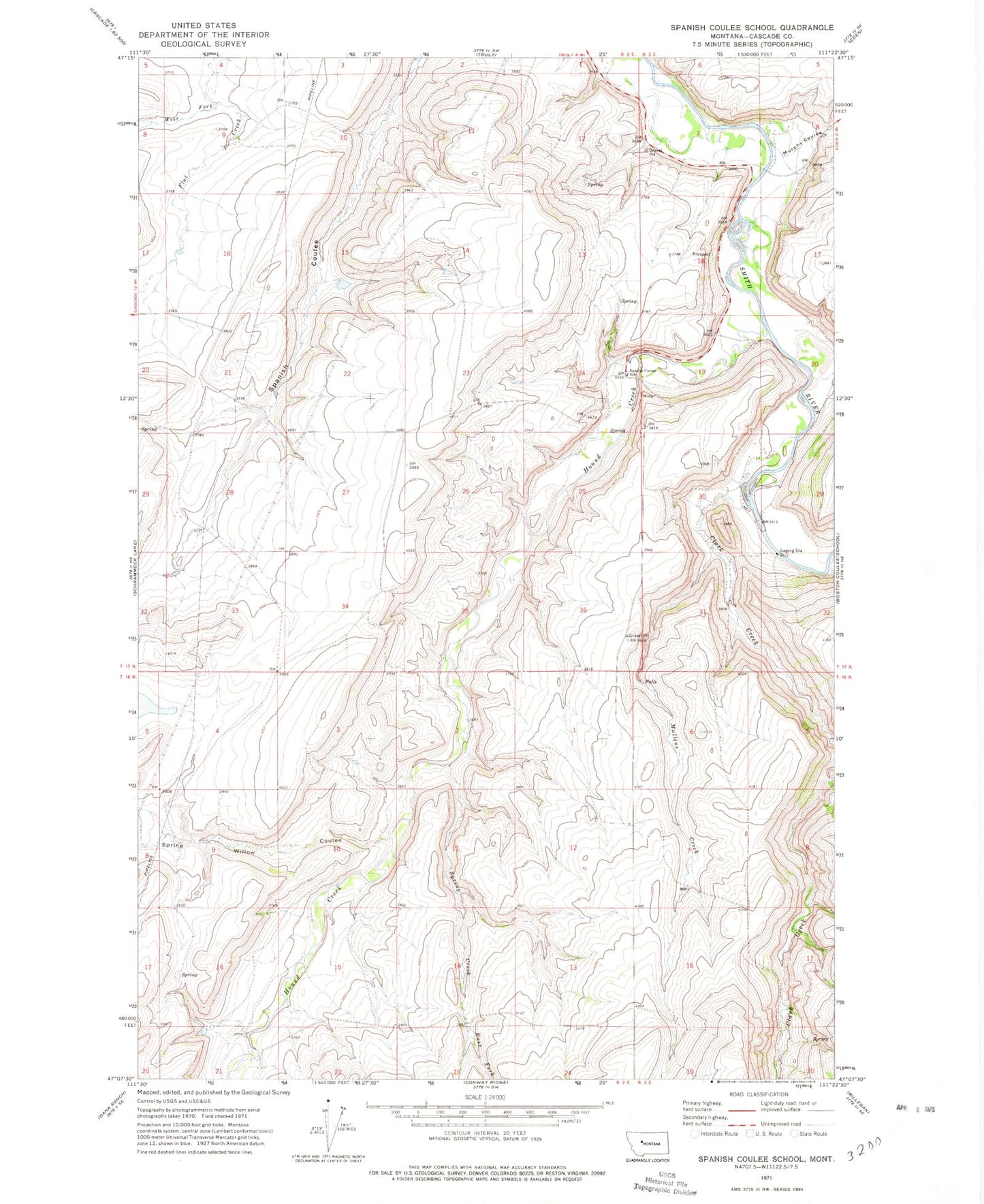
Classic USGS Spanish Coulee School Montana 7.5'x7.5' Topo Map
Couldn't load pickup availability
Historical USGS topographic quad map of Spanish Coulee School in the state of Montana. Map scale may vary for some years, but is generally around 1:24,000. Print size is approximately 24" x 27"
This quadrangle is in the following counties: Cascade.
The map contains contour lines, roads, rivers, towns, and lakes. Printed on high-quality waterproof paper with UV fade-resistant inks, and shipped rolled.
Contains the following named places: 17N02E02DD__01 Well, 17N02E09D___01 Spring, 17N02E09D___02 Well, 17N02E10A___01 Spring, 17N02E10A___02 Well, 17N02E15D___01 Spring, 17N02E24D___01 Well, 17N02E24D___02 Well, 17N02E28B___01 Well, 17N02E34A___01 Well, 17N02E34A___02 Well, 17N03E08B___01 Well, 17N03E08C___01 Well, 17N03E30____01 Well, 17N03E30____02 Well, Clark Creek, East Fork Spring Creek, Hound Creek, Hound Creek School, Leveque Reservoir Dam, Mesaros Dam, Mullens Creek, Murphy Coulee, Orr Post Office, Spaniard Dam, Spanish Coulee School, Spring Creek, Spring Willow Coulee, West Fork Flat Creek