MyTopo
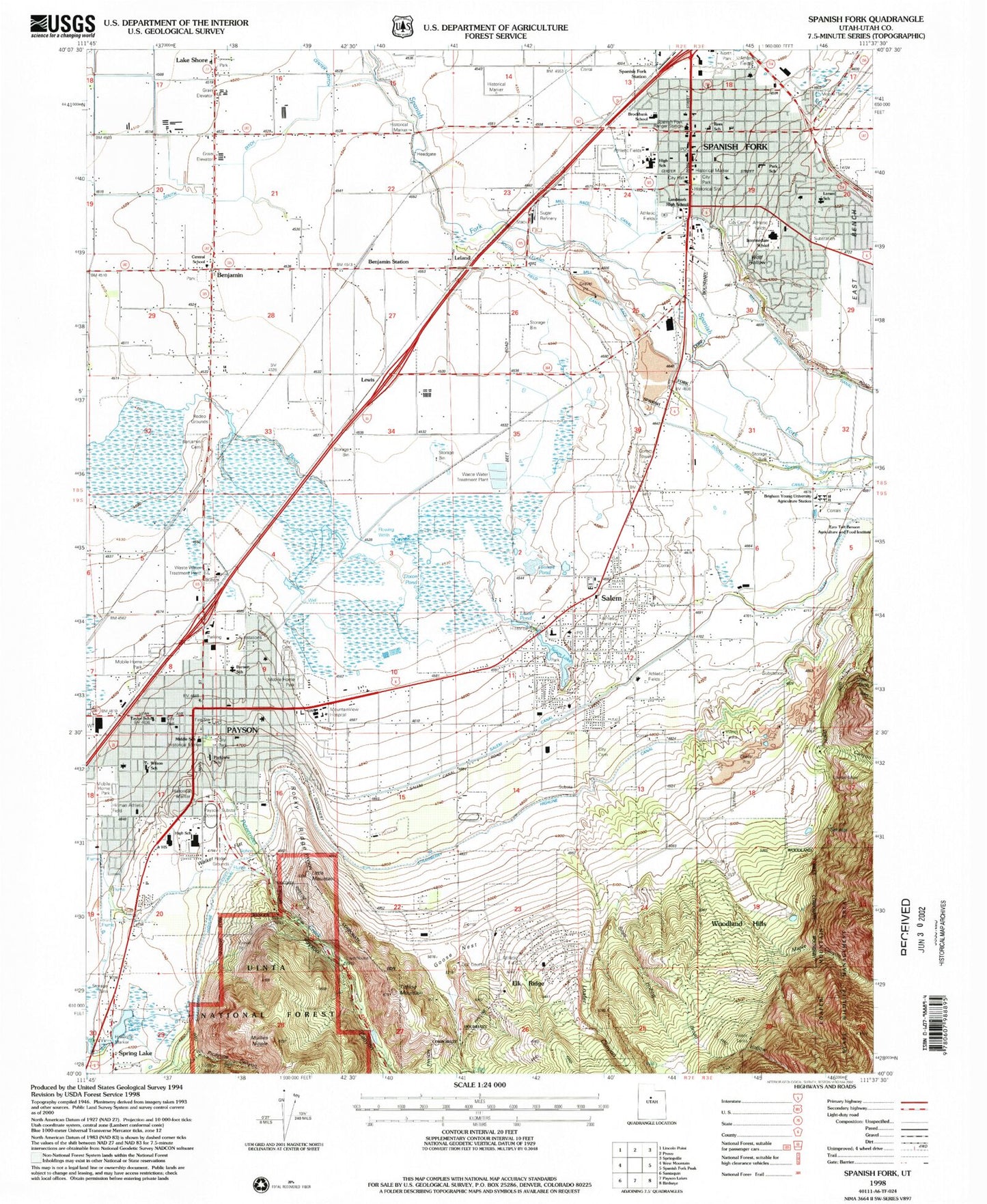
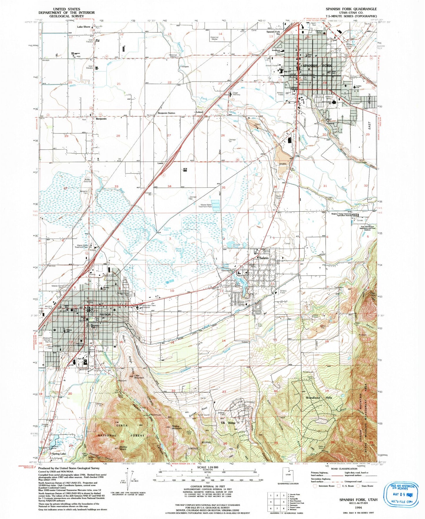
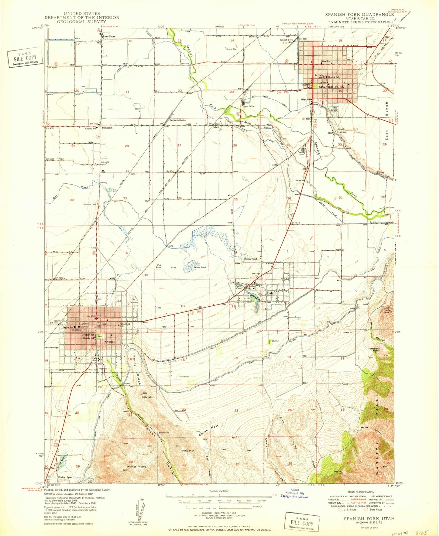
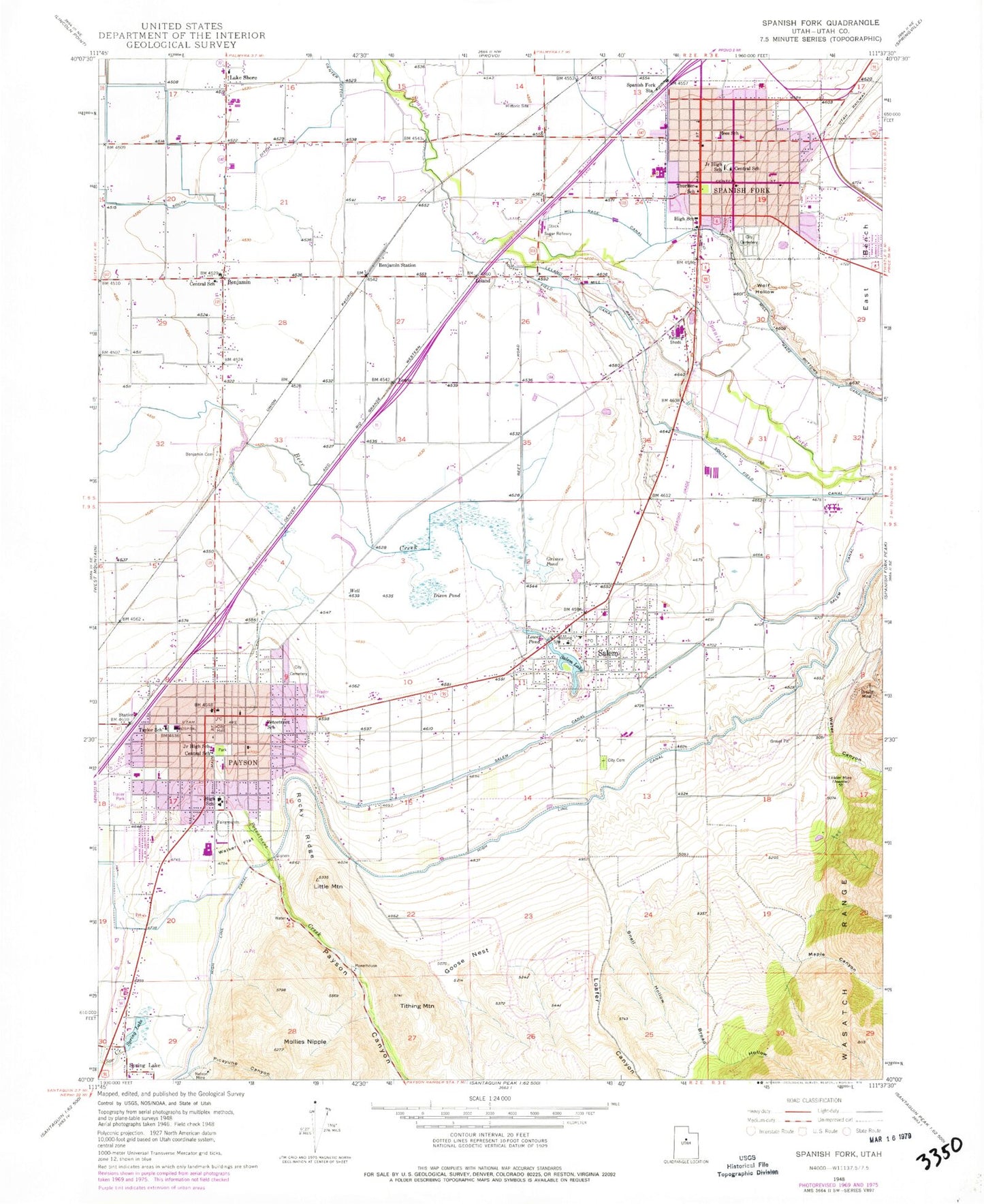
Classic USGS Spanish Fork Utah 7.5'x7.5' Topo Map
Couldn't load pickup availability
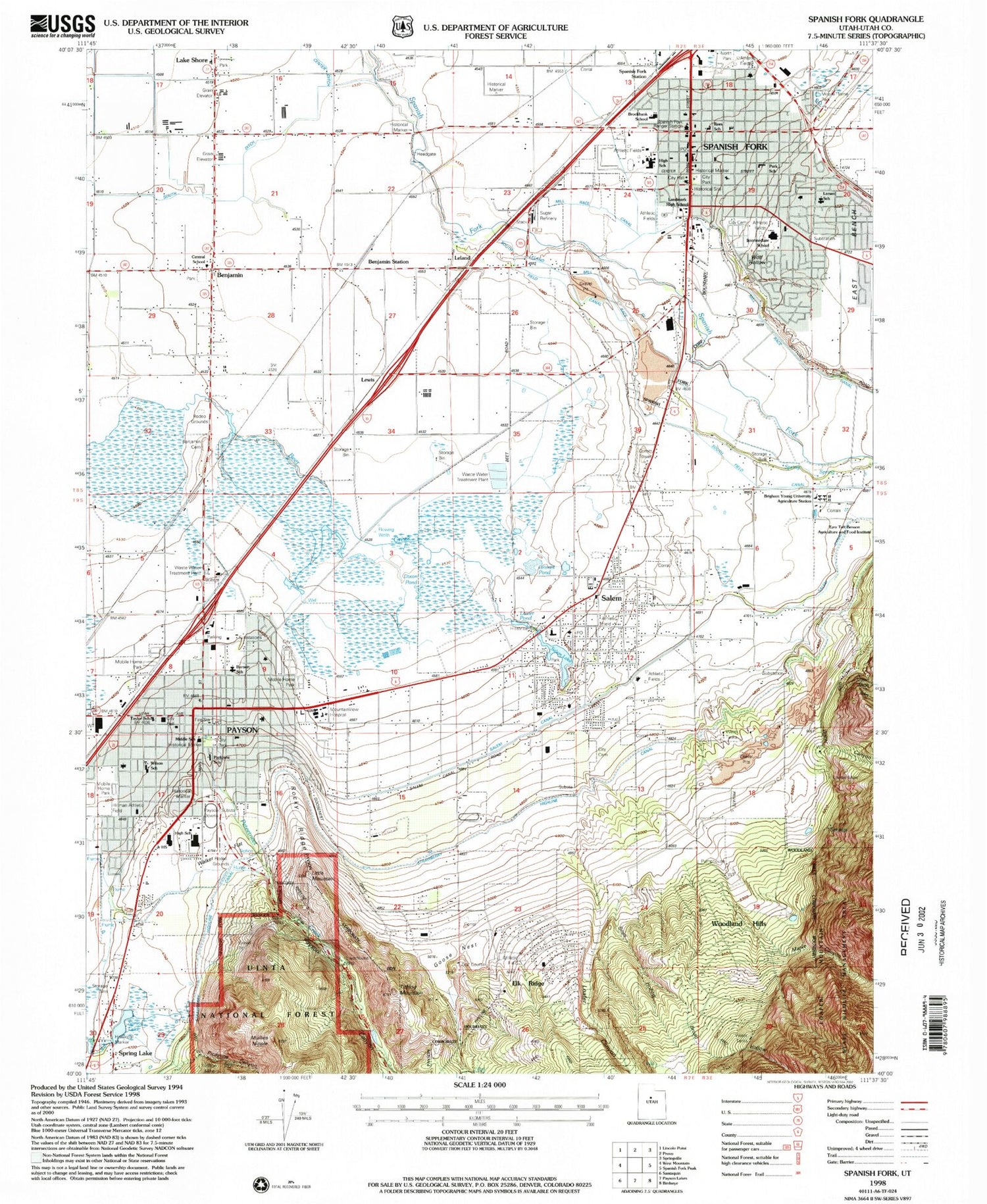
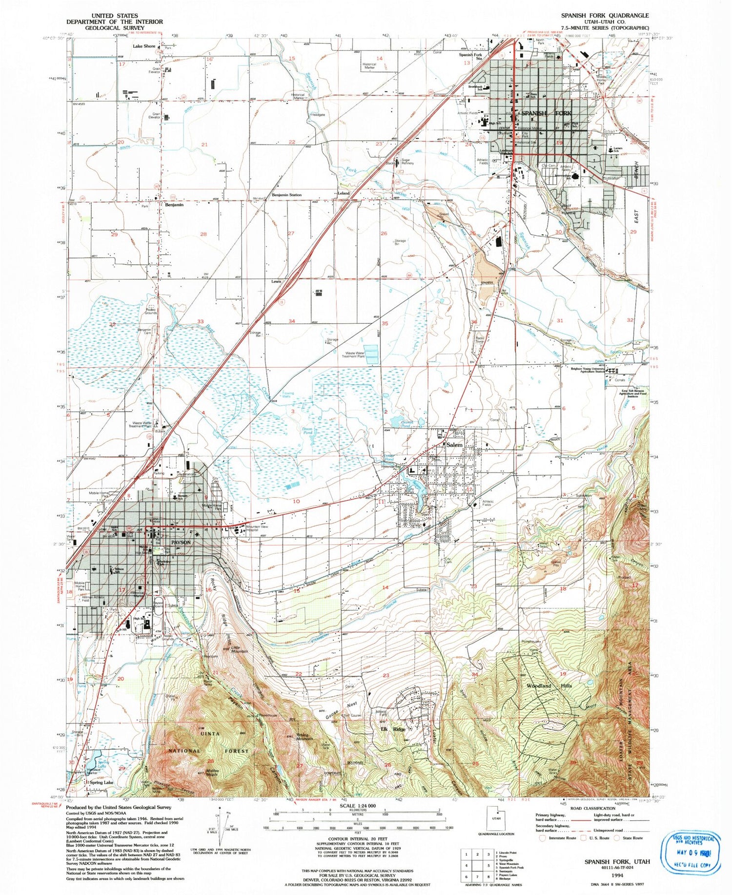
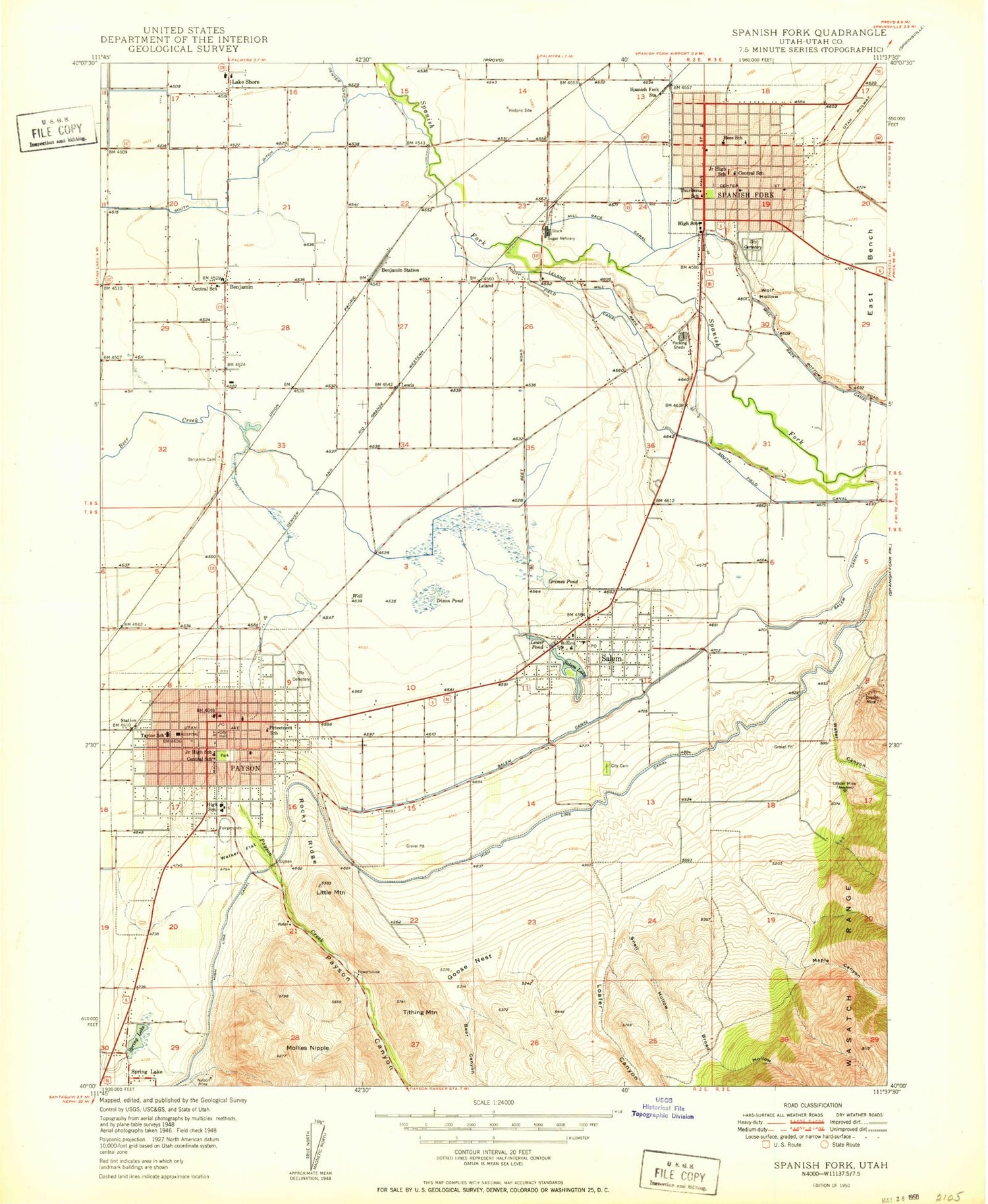
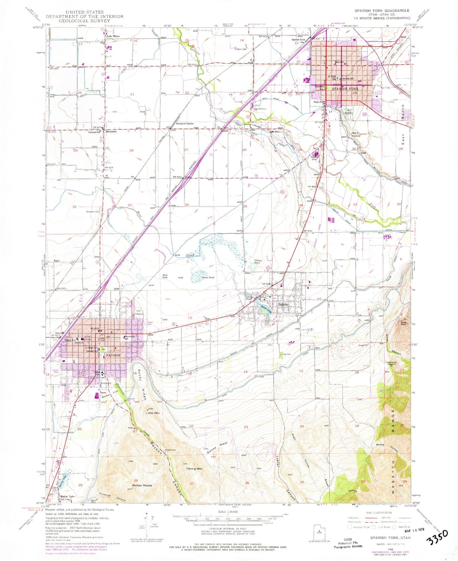
Historical USGS topographic quad map of Spanish Fork in the state of Utah. Map scale may vary for some years, but is generally around 1:24,000. Print size is approximately 24" x 27"
This quadrangle is in the following counties: Utah.
The map contains contour lines, roads, rivers, towns, and lakes. Printed on high-quality waterproof paper with UV fade-resistant inks, and shipped rolled.
Contains the following named places: Barnett Elementary School, Benjamin, Benjamin Cemetery, Benjamin Census Designated Place, Benjamin Station, Broad Hollow, Brockbank Elementary School, Center Ditch, Central School, City of Elk Ridge, City of Payson, City of Salem, City of Spanish Fork, City of Woodland Hills, Dixon Pond, Dream Mine, Elk Ridge, Elk Ridge Fire Department, First Baptist Chapel, Goose Nest, Grimes Pond, KONI-AM (Spanish Fork), L and J RV Park, Lake Shore, Larsen Elementary School, Leader Mine, Leland, Leland Mill Race, Lewis, Little Mountain, Loafer Canyon, Lower Pond, Maple Canyon, Mill Race Canal, Mollies Nipple, Mountain View Hospital, Mountain View Hospital Heliport, Nelson Mine, Northgate Plaza, Park Elementary School, Park View Elementary School, Payson, Payson Ambulance Association, Payson Bible Chapel, Payson Canyon, Payson City Cemetery, Payson City Police Department, Payson Fire Department, Payson High School, Payson Junior High School, Payson Middle School, Payson Post Office, Peteetneet Creek, Peteetneet School, Picayune Canyon, Rees Elementary School, Rocky Ridge, Salem, Salem Canal, Salem City Cemetery, Salem Elementary School, Salem Emergency Medical Association Ambulance, Salem Fire Department and Ambulance, Salem Lake, Salem Police Department, Salem Post Office, San Andres Catholic Church, Snell Hollow, South Ditch, South Field Canal, Spanish Fork, Spanish Fork Ambulance, Spanish Fork City Cemetery, Spanish Fork Fire Department, Spanish Fork High School, Spanish Fork Junior High School, Spanish Fork Police Department, Spanish Fork Post Office, Spanish Fork Ranger Station, Spanish Fork Station, Spanish Fork-Payson Division, Spring Lake, Strawberry Highline Canal, Taylor Elementary School, The Church of Jesus Christ of Latter Day Saints, Thurber School, Tithing Mountain, Utah County, Walker Flat, Water Canyon, Wilson Elementary School, Wolf Hollow, Woodland Hills, Woodland Hills Fire Department, ZIP Codes: 84653, 84660
