MyTopo
Classic USGS Sparta East North Carolina 7.5'x7.5' Topo Map
Couldn't load pickup availability
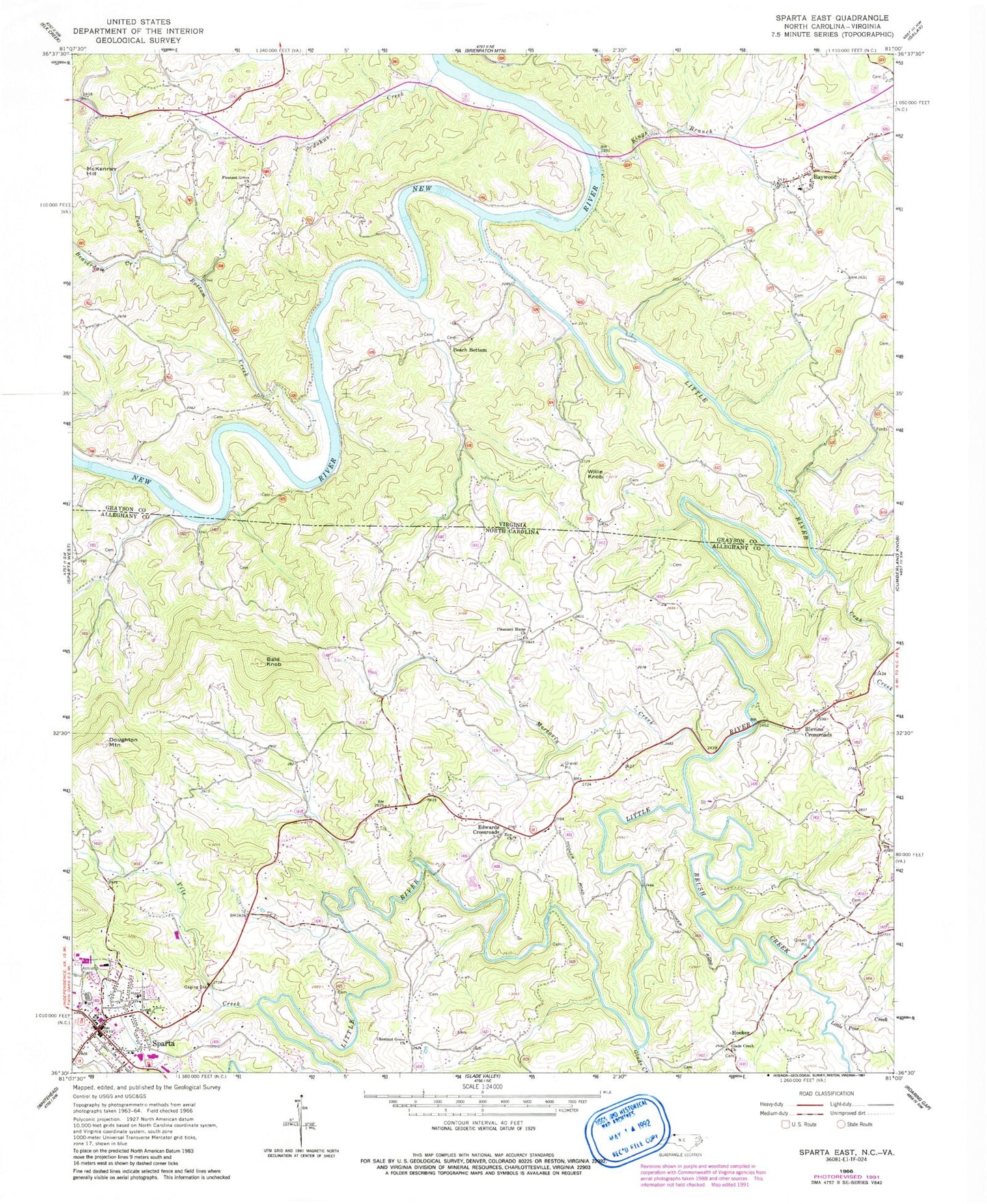
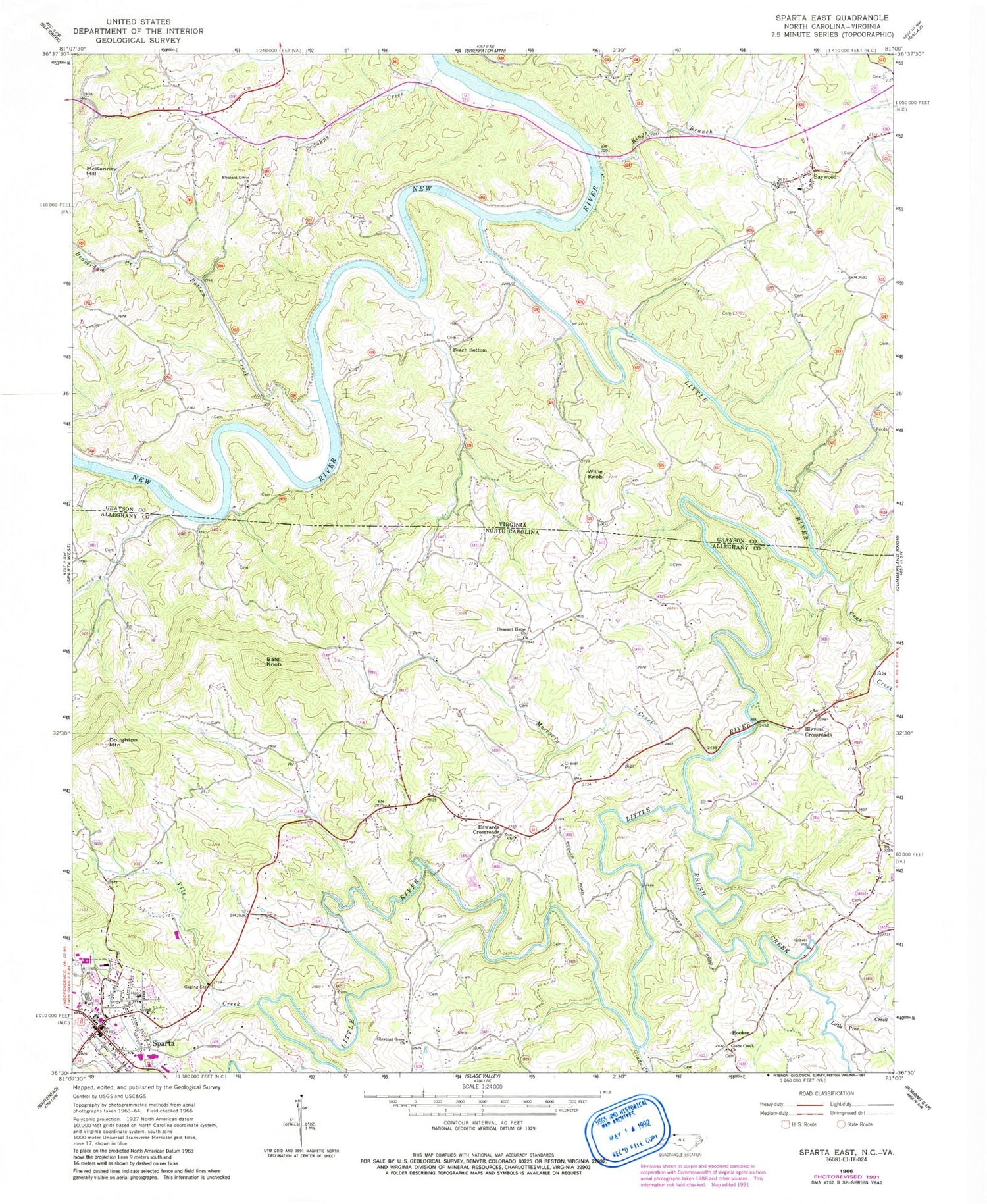
Historical USGS topographic quad map of Sparta East in the states of North Carolina, Virginia. Map scale may vary for some years, but is generally around 1:24,000. Print size is approximately 24" x 27"
This quadrangle is in the following counties: Alleghany, Grayson.
The map contains contour lines, roads, rivers, towns, and lakes. Printed on high-quality waterproof paper with UV fade-resistant inks, and shipped rolled.
Contains the following named places: Alleghany County Courthouse, Alleghany County Emergency Medical Services, Alleghany County Rescue Squad, Alleghany County Sheriff's Office, Alleghany Memorial Hospital, Bald Knob, Baywood, Baywood Census Designated Place, Baywood Elementary School, Baywood Search and Rescue Squad, Beaverdam Creek, Billings Ford, Blevins Crossroads, Boyer Ferry, Brush Creek, Chestnut Grove, Chestnut Grove Church, Cold Spring School, Cox Ford, Crab Creek, Crab Orchard School, Doughton Mountain, Duncan Mill, Edwards Crossroads, Edwards Mill, Evans Mill, Glade Creek, Glade Creek Church, Hooker, Jewel Creek, Johns Creek, Kings Branch, Little Pine Creek, Little River, Maines Mill, McCann Mill, McClain Mill, McClains Mill, McKenney Hill, Moccasin Creek, Notch Creek, Peach Bottom, Peach Bottom Creek, Peach Bottom School, Pleasant Grove Church, Pleasant Grove School, Pleasant Home Cemetery, Pleasant Home Union Baptist Church, Richardson Mill, Rutherford Mill, Shaw Ferry, Sparta, Sparta Alleghany Volunteer Fire Department, Sparta Cemetery, Sparta Police Department, Sparta Post Office, Stoker Mill, Todd Ford, Town of Sparta, Township of Gap Civil, Vile Creek, Vox, Willie Knob, Woodruff Mill, Zion Cemetery, Zion Primitive Baptist Church


