MyTopo
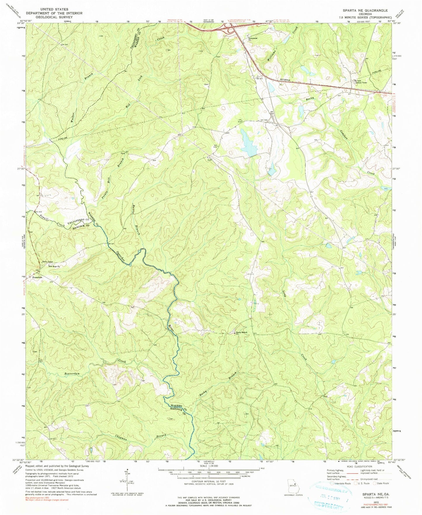
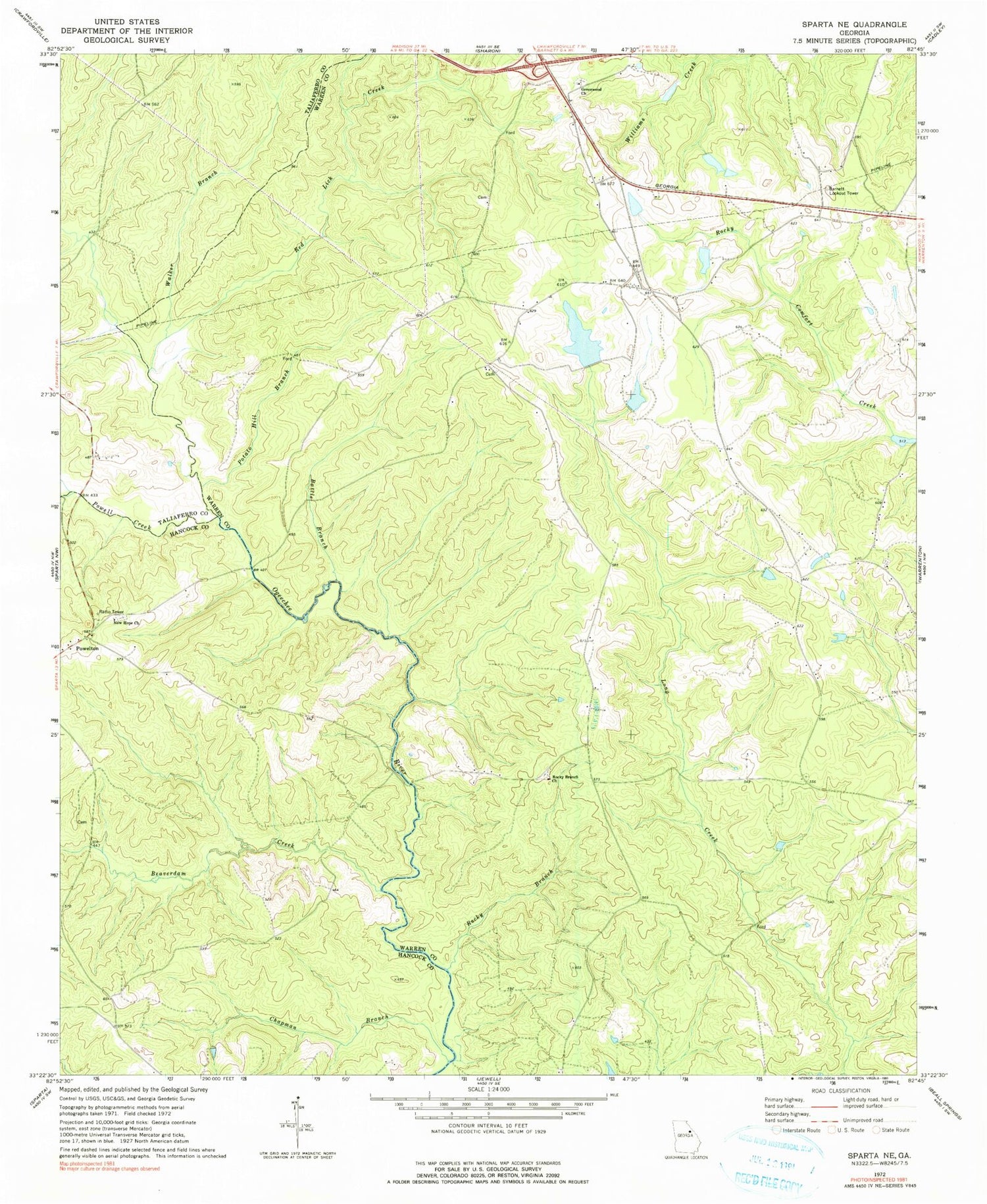
Classic USGS Sparta NE Georgia 7.5'x7.5' Topo Map
Couldn't load pickup availability
Historical USGS topographic quad map of Sparta NE in the state of Georgia. Map scale may vary for some years, but is generally around 1:24,000. Print size is approximately 24" x 27"
This quadrangle is in the following counties: Hancock, Taliaferro, Warren.
The map contains contour lines, roads, rivers, towns, and lakes. Printed on high-quality waterproof paper with UV fade-resistant inks, and shipped rolled.
Contains the following named places: Andrews Chapel, Andrews Chapel Cemetery, Barnett Lookout Tower, Battle - Cato Cemetery, Battle Branch, Beaverdam Creek, Burnley Cemetery, Chafin Dam, Chafin Lake, Chapman Branch, Crenshaw Cemetery, Elim Baptist Church, Elim Cemetery, Ephraim Ivey Cemetery, George Turner Cemetery, Greenwood Cemetery, Greenwood Church, Harris Cemetery, Henry - Burnley Family Cemetery, Hubert Cemetery, Ivey Cemetery, Neal Lake, Neal Lake Dam, New Hope Cemetery, New Hope Church, Norwood Division, Pilgrim Church, Potato Hill Branch, Powell Creek, Powelton, Powelton Baptist Church, Powelton Baptist Church Cemetery, Powelton School, Red Lick Creek, Reservoir Lake, Reservoir Lake Dam, Rocky Branch, Rocky Branch Cemetery, Rocky Branch Church, Shivers Dam Number One, Shivers Dam Two, Shivers Lake, Shivers Lake Dam, Shivers Lake Number One, Shivers Lake Two, Torrence Cemetery, Tucker Cemetery, Walker Branch, Whiteheads Mill, William Rabun Monument


