MyTopo
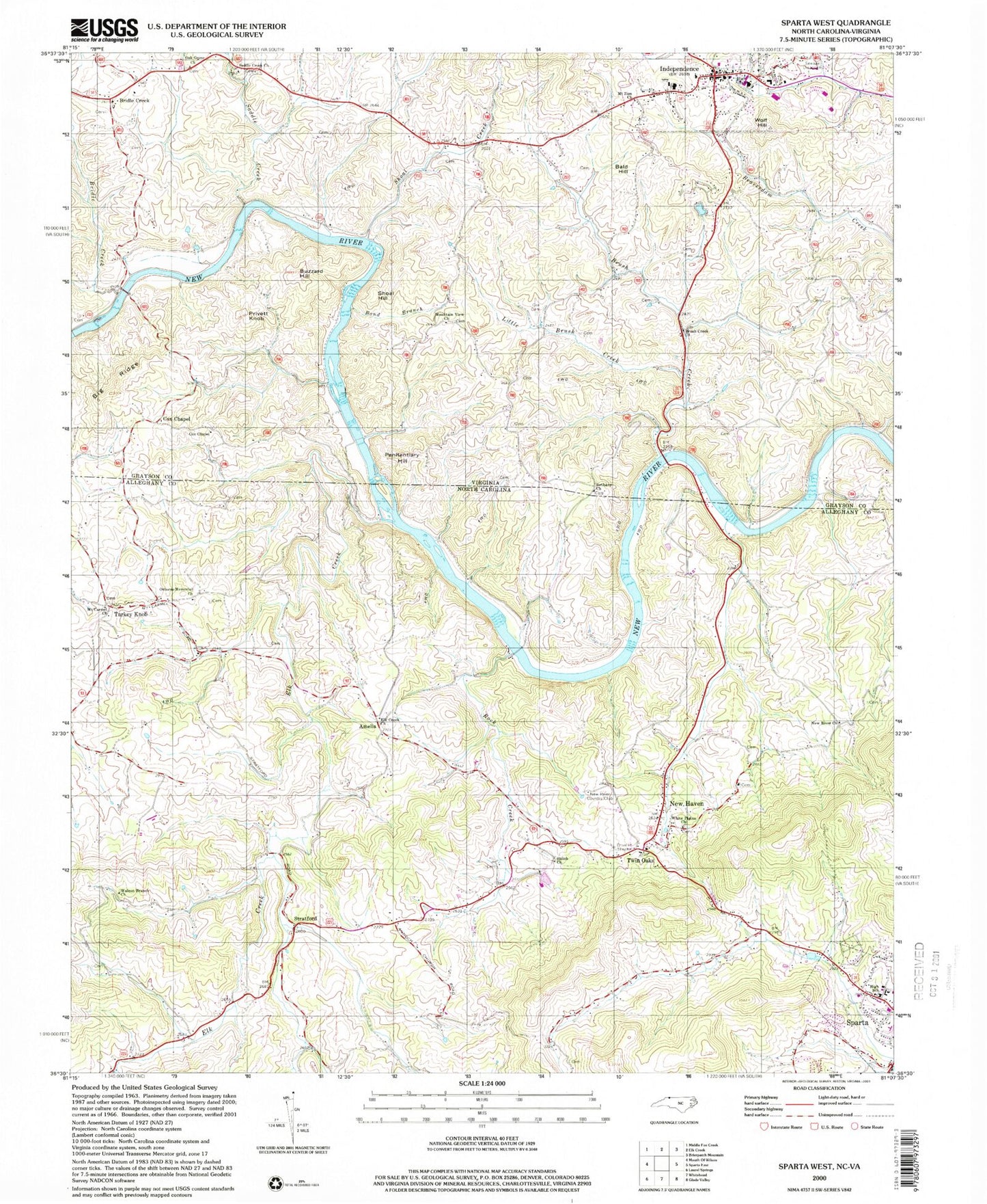
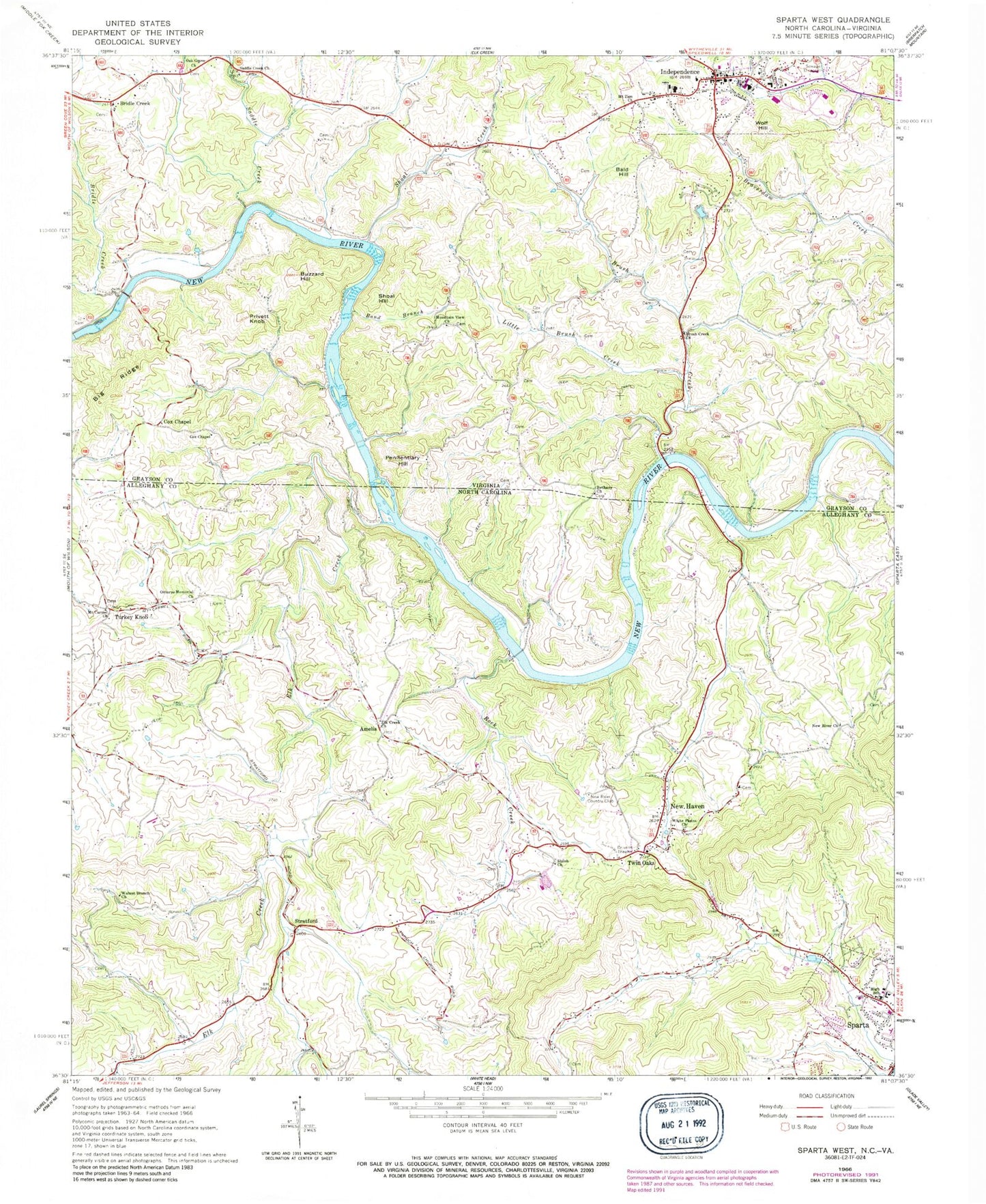
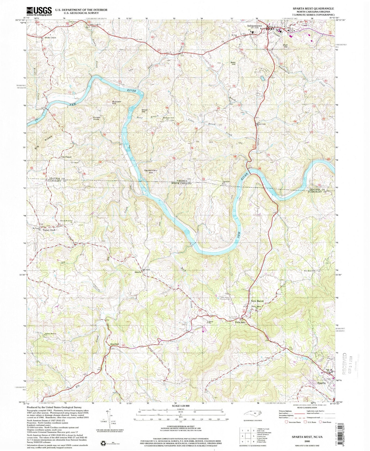
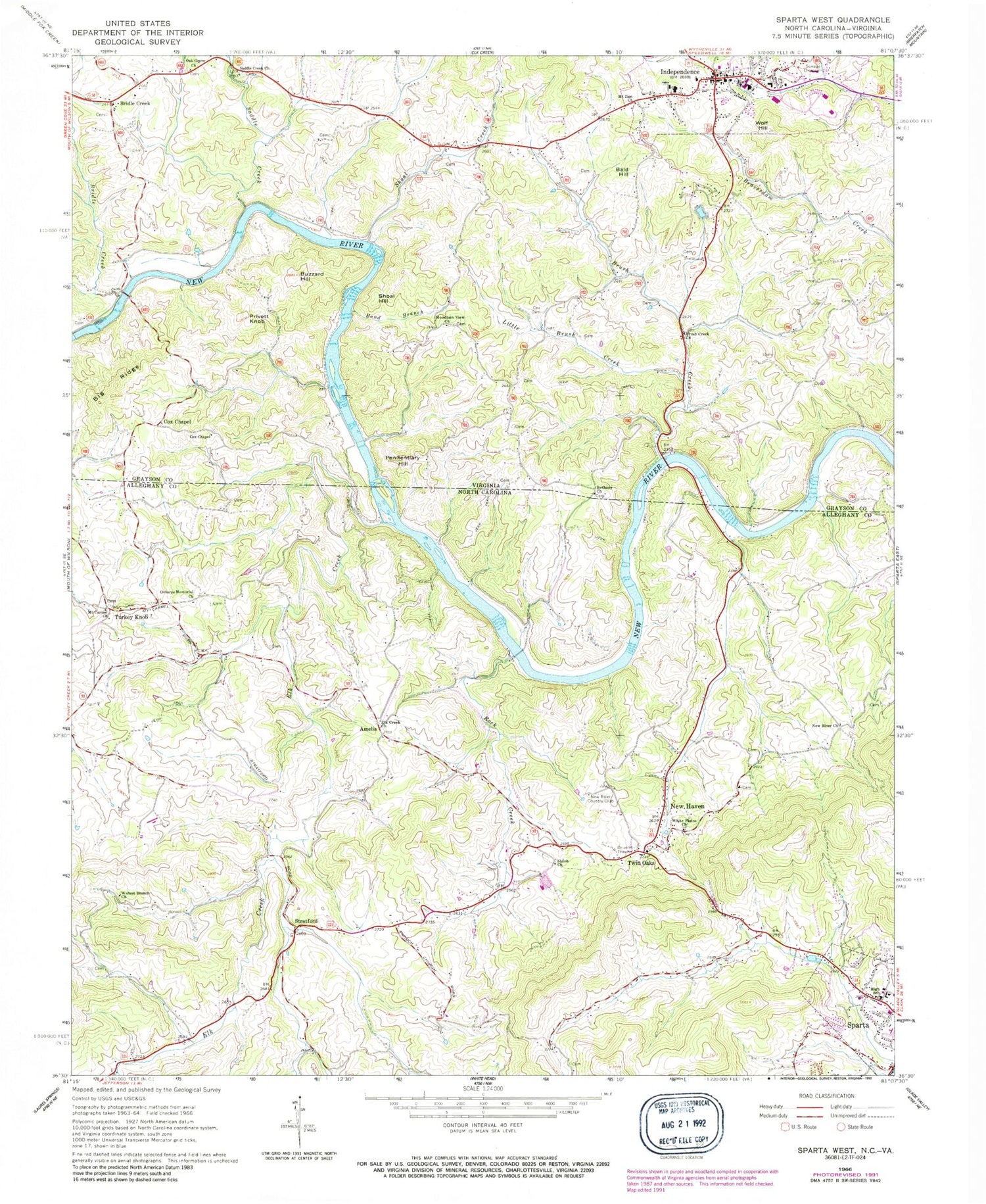
Classic USGS Sparta West North Carolina 7.5'x7.5' Topo Map
Couldn't load pickup availability
Historical USGS topographic quad map of Sparta West in the states of North Carolina, Virginia. Typical map scale is 1:24,000, but may vary for certain years, if available. Print size: 24" x 27"
This quadrangle is in the following counties: Alleghany, Grayson.
The map contains contour lines, roads, rivers, towns, and lakes. Printed on high-quality waterproof paper with UV fade-resistant inks, and shipped rolled.
Contains the following named places: Elk Creek, Elk Creek Primitive Baptist Church, Mount Carmel Union Baptist Church, New Haven, New River Missionary Baptist Church, New River Country Club, Osborne Memorial Missionary Baptist Church, Rock Creek, Shiloh United Methodist Church, Stratford, Turkey Knob, Twin Oaks, Walnut Branch Church, White Plains Union Baptist Church, Alleghany High School, Amelia, New River Canoe and Campground, Cox Mill (historical), Crouse Mill (historical), Dixon Mill (historical), Elk Creek Cemetery, Estep Mill (historical), Hopper Mill (historical), Irwin Mill (historical), Killons Mill (historical), Mountain Island, Moxley Mill (historical), New Haven Cemetery, New Haven Church of the Brethren, Old Forge Mill (historical), Osborne Mill (historical), Osborne Rolling Mill (historical), Phipps Mill (historical), Richardson Mill (historical), Richardson Mill (historical), Sexton Mill (historical), Shiloh Cemetery, Shupe Mill (historical), Spicer Mill (historical), Toliver Mill (historical), Ward Mill (historical), Williams Mill (historical), Maxwell Airport, Band Branch, Bethany Church, Big Ridge, Brush Creek, Brush Creek Church, Buzzard Hill, Cox Cemetery, Cox Chapel, Cox Chapel, Little Brush Creek, Mount Zion Church, Mountain View Church, Oak Grove Church, Saddle Creek Church, Bridle Creek, Bridle Creek, Saddle Creek, Shoal Creek, Roberts Dam, Hampton Lake, Independence, Bald Hill, Penitentiary Hill, Privett Knob, Shoal Hill, Wolf Hill, Bethel Church (historical), Bridle Creek Elementary School, Brookside Mill (historical), Cox Ferry (historical), Coxs Chapel Cemetery, Doughton Ford, Grayson County Courthouse, Grayson County High School, Ham Ford, Independence Middle School, Oak Grove Cemetery, Osborne Ferry (historical), Osborne School (historical), Penitentiary Ford, R A Droughton Memorial Bridge, Rose Ferry (historical), Saddle Creek Cemetery, Shoal Creek School (historical), Spurlin Ford, Independence Volunteer Rescue Squad, Independence Elementary School, Independence Volunteer Fire Department, Grayson County Sheriff's Department, Grayson County Career and Technical Center, Independence Post Office, River North Correctional Center, Independence Police Department


