MyTopo
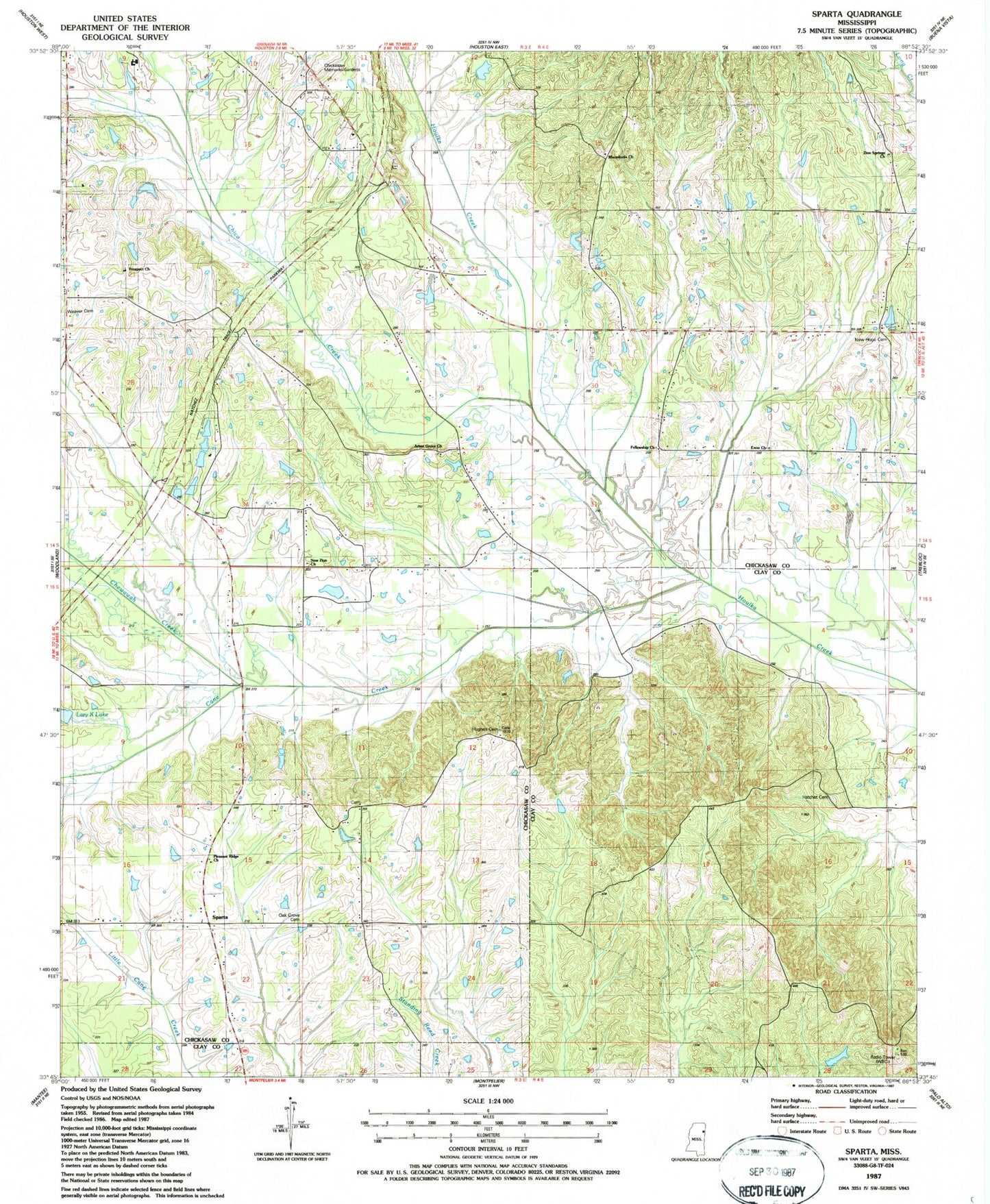
Classic USGS Sparta Mississippi 7.5'x7.5' Topo Map
Couldn't load pickup availability
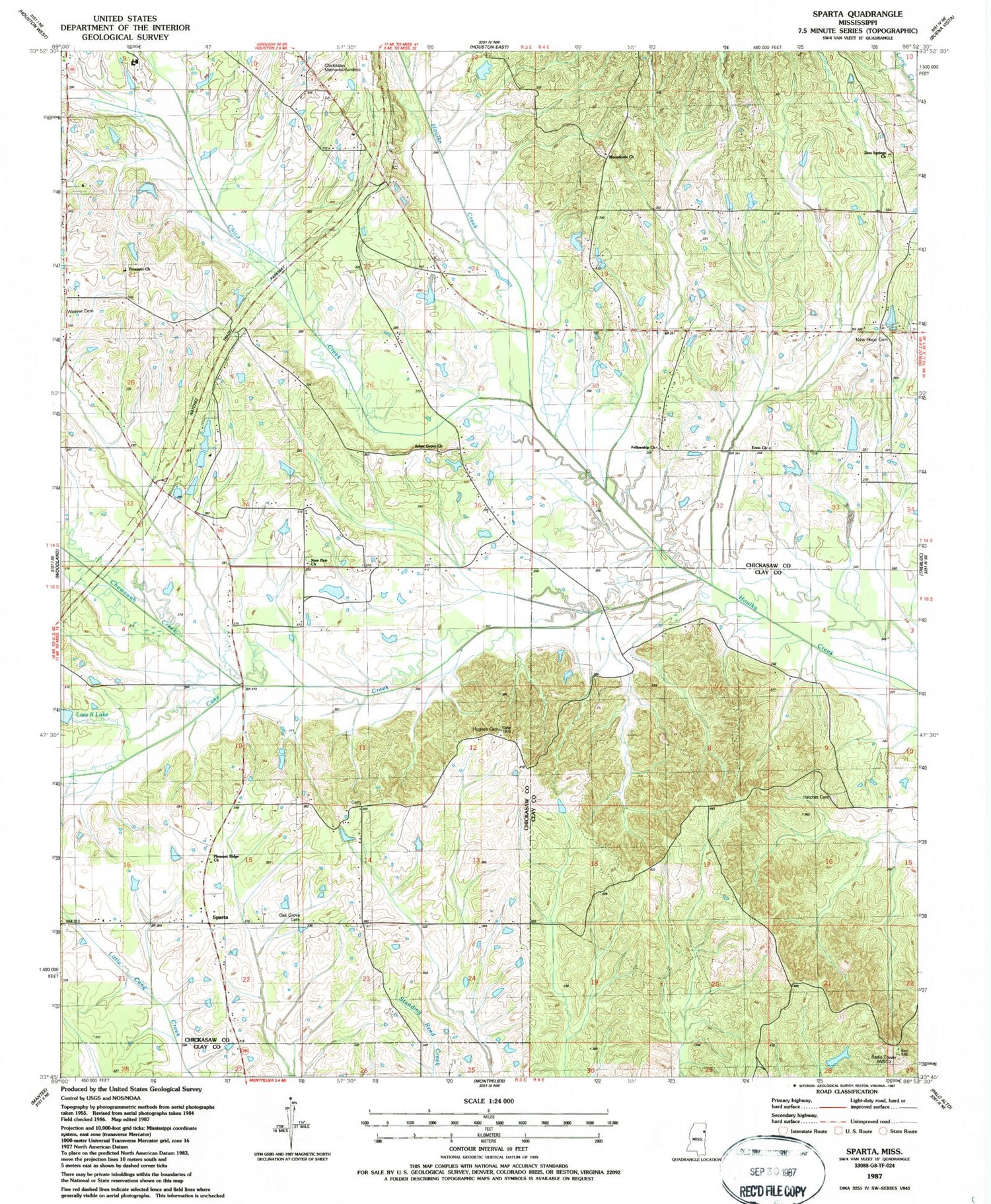
Historical USGS topographic quad map of Sparta in the state of Mississippi. Map scale may vary for some years, but is generally around 1:24,000. Print size is approximately 24" x 27"
This quadrangle is in the following counties: Chickasaw, Clay.
The map contains contour lines, roads, rivers, towns, and lakes. Printed on high-quality waterproof paper with UV fade-resistant inks, and shipped rolled.
Contains the following named places: Amity Baptist Church, Arbor Grove Baptist Church, Bethel School, Bluff Springs School, Bray Creek, Brown School, Cane Creek, Chewawah Creek, Chickasaw Memorial Gardens, Chico Creek, Elize, Enon, Enon Primitive Baptist Church, Enon School, Fellowship Baptist Church, Gene Verell Lake Dam, Hatchet Cemetery, Hollomans Lake Dam, Hope Zion School, Horse Nation Creek, Hughes Cemetery, Johnson School, Johnsons Chapel Methodist Church, Kimmel Airport, Linn Lake, Macedonia Cemetery, Macedonia Church, Macedonia School, McCrory Lake Dam, Midway School, Moon Chapel, New Hope Cemetery, New Hope Church, New Zion Church, Oak Grove Cemetery, Oak Grove School, Oak Grove Shool, Pleasant Ridge Missionary Baptist Church, Prospect, Prospect Church, Sonora, Sparta, Sparta Methodist Church, Sparta School, Stevens Lake Dam, Supervisor District 5, WCBI-TV (Columbus), Woodland Volunteer Fire Department Station 2, Zion Springs Church


