MyTopo
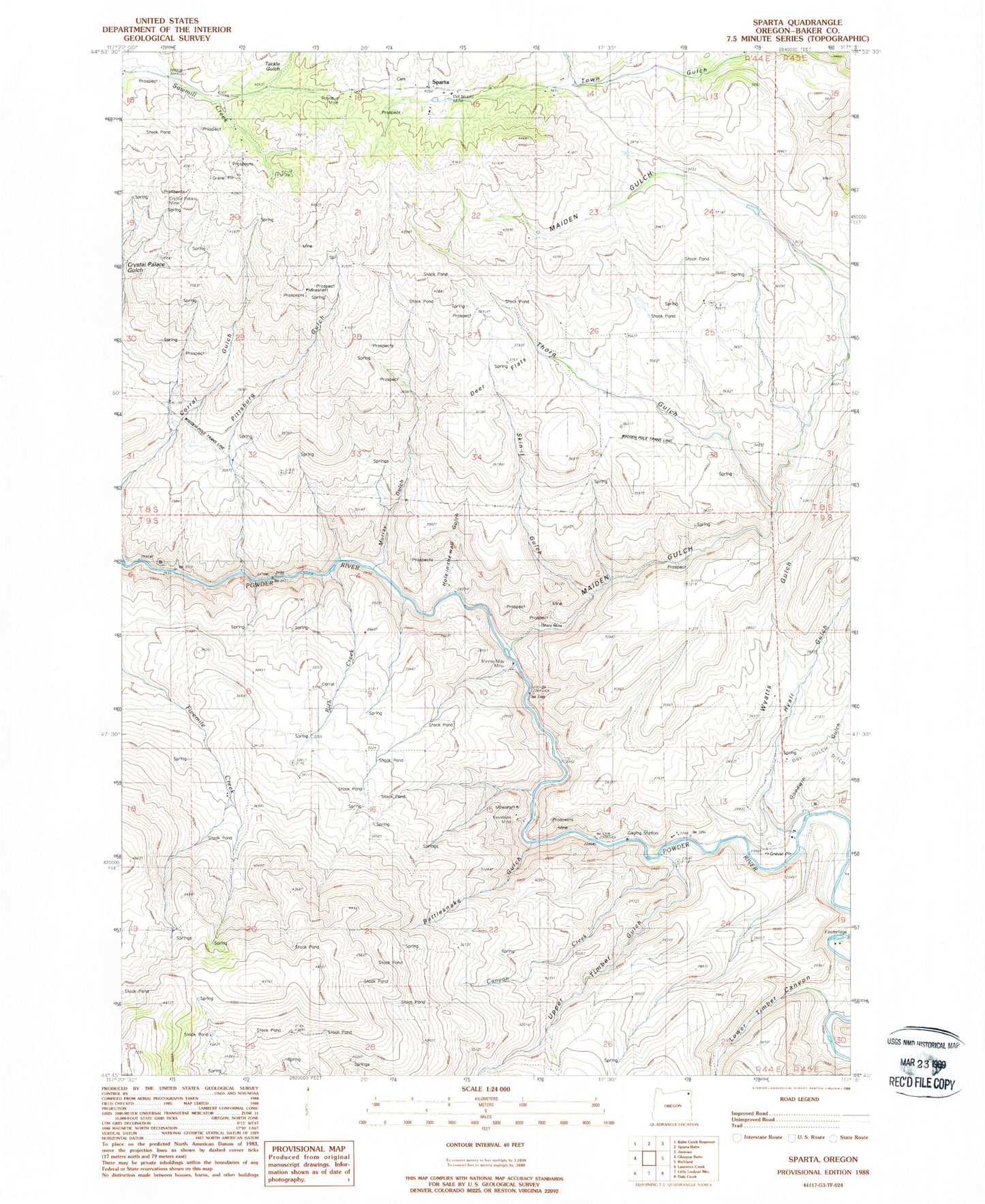
Classic USGS Sparta Oregon 7.5'x7.5' Topo Map
Couldn't load pickup availability
Historical USGS topographic quad map of Sparta in the state of Oregon. Map scale may vary for some years, but is generally around 1:24,000. Print size is approximately 24" x 27"
This quadrangle is in the following counties: Baker.
The map contains contour lines, roads, rivers, towns, and lakes. Printed on high-quality waterproof paper with UV fade-resistant inks, and shipped rolled.
Contains the following named places: Baldy Gulch, Blue Gulch, Boyce spring, Canyon Creek, Crystal Palace Mine, Deer Flats, Del Monte Mine, Dry Gulch, Eagle Creek Canyon, Eagle Valley Division, Gem Mine, Gem Post Office, Goodwin Gulch, Hole in the Wall Gulch, Hyall Gulch, Keystone Mine, Kuykendahl Gulch, Lone Star Mine, Long Gulch, Lost Gulch, Lower Timber Canyon, Macy Mine, Maiden Gulch, Minnie May Mine, Murray Gulch, Pittsburg Gulch, Rattlesnake Gulch, Rich Creek, Rosebud Mine, Skin-it Gulch, Sparta, Sparta Cemetery, Sparta Post Office, Tackle Gulch, Thorn Gulch, Upper Timber Canyon, Wyatt Gulch, Wyatt Reservoir


