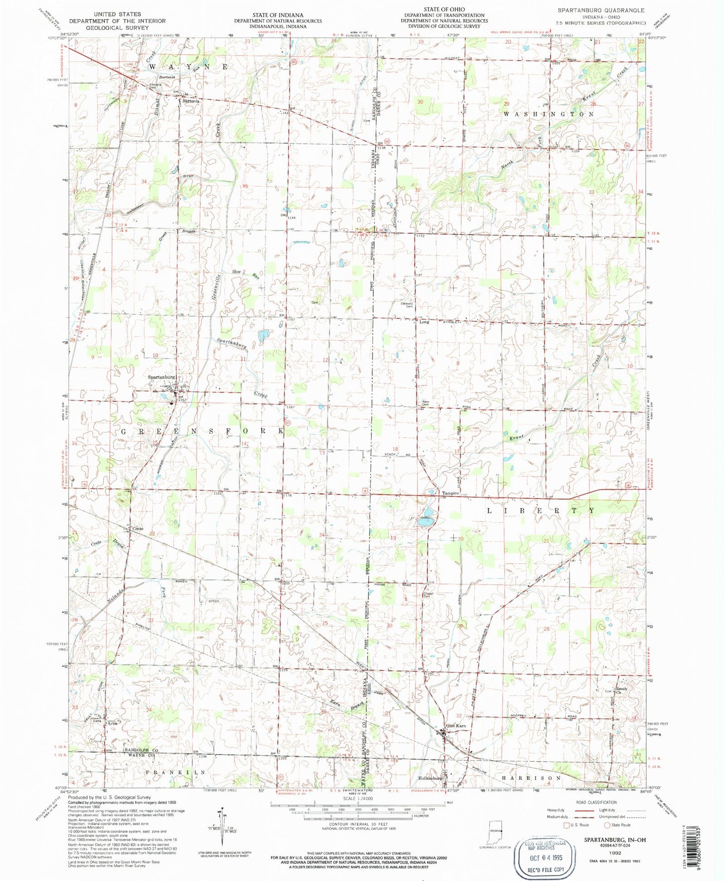
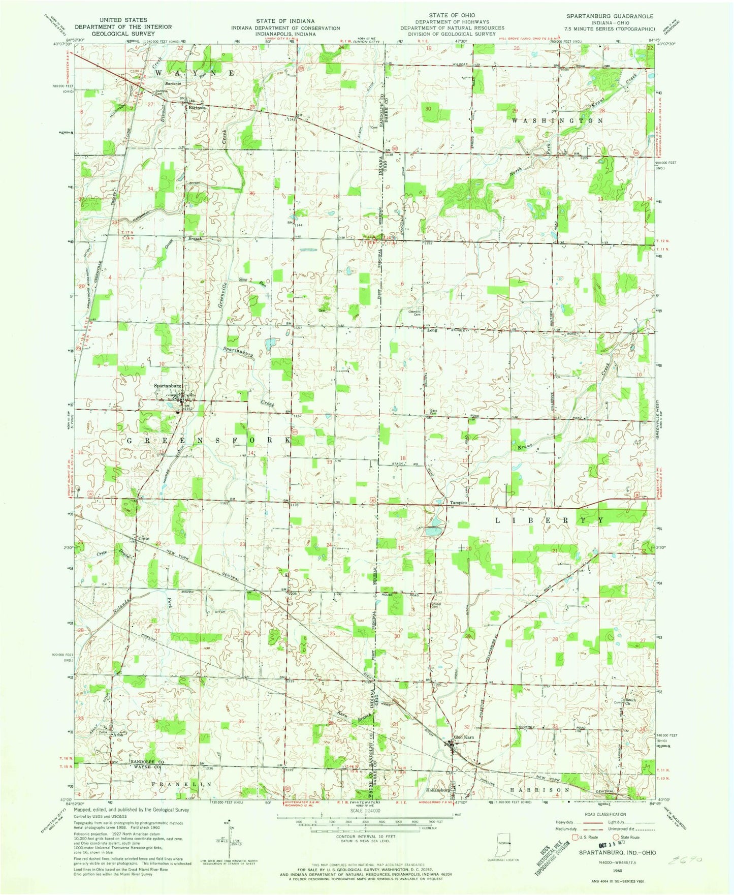
MyTopo
Classic USGS Spartanburg Indiana 7.5'x7.5' Topo Map
Couldn't load pickup availability
Historical USGS topographic quad map of Spartanburg in the states of Indiana, Ohio. Map scale may vary for some years, but is generally around 1:24,000. Print size is approximately 24" x 27"
This quadrangle is in the following counties: Darke, Randolph, Wayne.
The map contains contour lines, roads, rivers, towns, and lakes. Printed on high-quality waterproof paper with UV fade-resistant inks, and shipped rolled.
Contains the following named places: A K Farms, Arba, Armstrong Anderson Ditch, Baker Angus Farm, Bartonia, Bartonia Cemetery, Bartonia Run, Bass Cemetery, Beech Grove Cemetery, Beech Grove Church of the Brethren, Blair Farms, Bowen Ditch, Chapel Cemetery, Clemens Cemetery, Crete, Crete Drain, Dobson School, Elm Hill School, Elson Ditch, Glen Karn, Glen Karn Ditch, Glenkarn Post Office, Green Branch, Greene Farms, Harshman Ditch, Hoosier Hill, Horn Ditch, Hutchison Ditch, J K Farm, Karn Branch, Long, Long Post Office, Martin Dairy, Morman Ditch, Northfork Farms, Sauerkraut School, School Number 12, School Number 7, Slow Run, Spartanburg, Spartanburg Creek, Special School Number 3, Tampico, Tampico Post Office, Tampico School, Township of Greensfork, Township of Liberty, Wildcat Woods Estates