MyTopo
Classic USGS Spear Hills New Mexico 7.5'x7.5' Topo Map
Regular price
$16.95
Regular price
Sale price
$16.95
Unit price
per
Couldn't load pickup availability
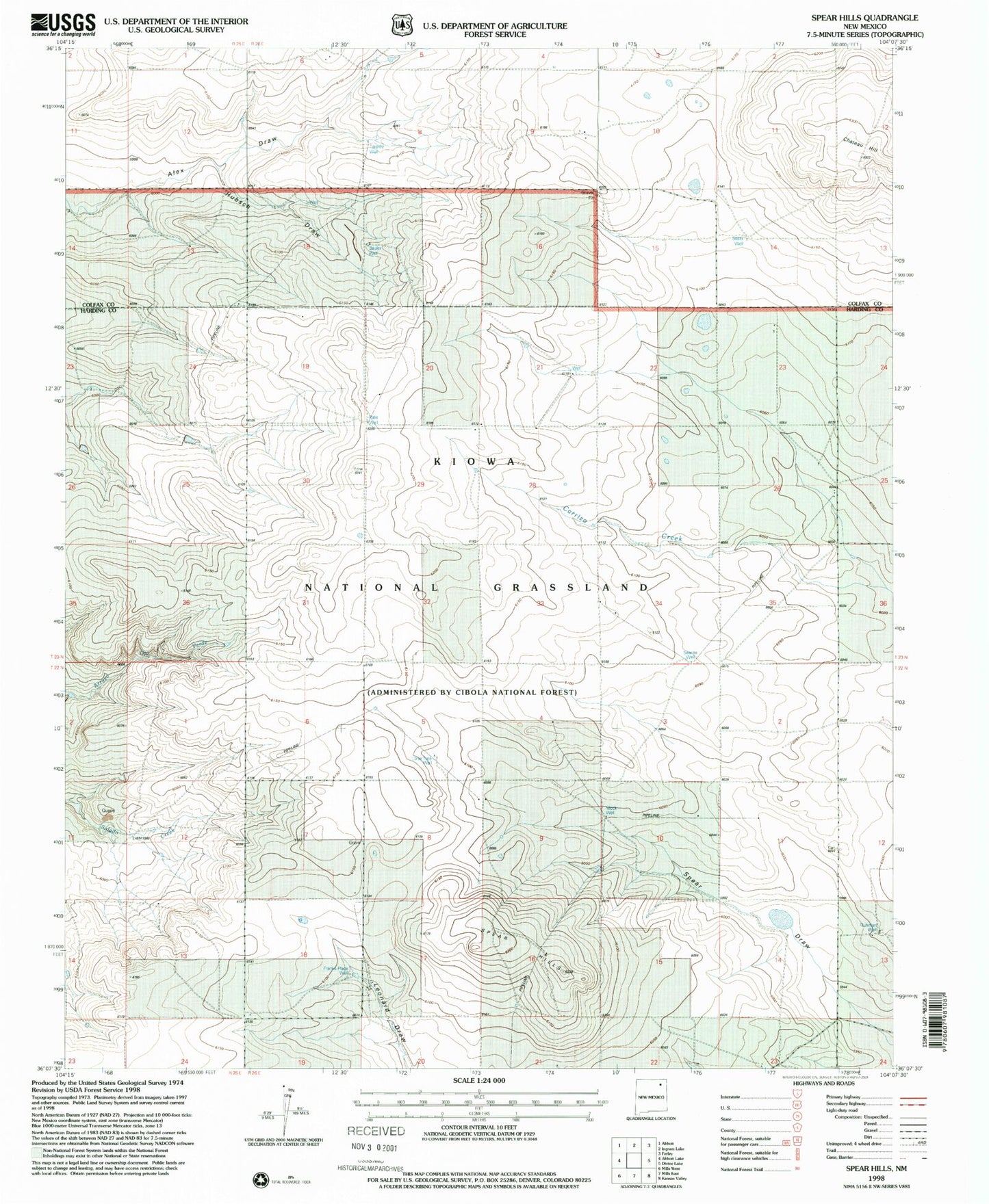
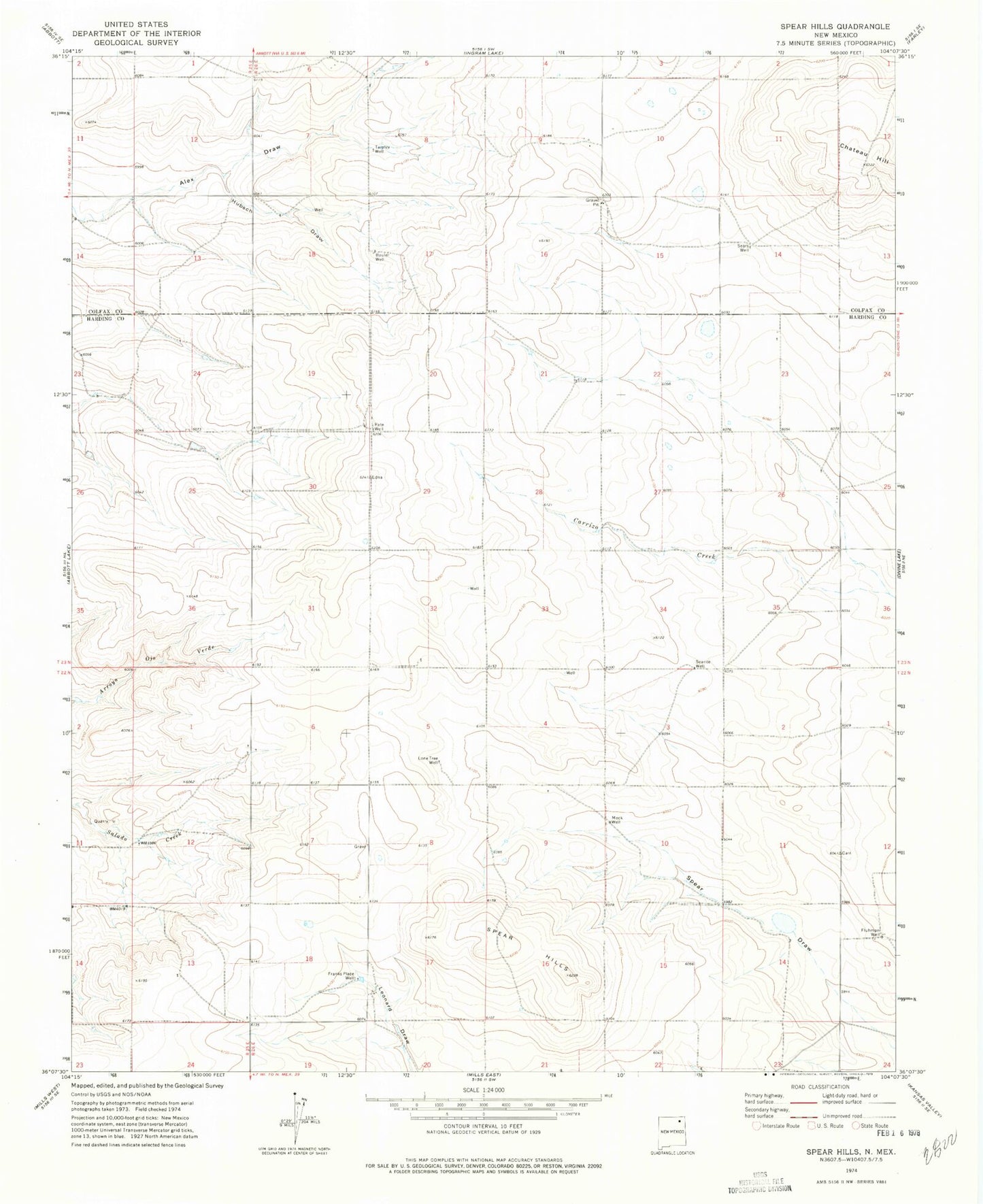
Historical USGS topographic quad map of Spear Hills in the state of New Mexico. Map scale may vary for some years, but is generally around 1:24,000. Print size is approximately 24" x 27"
This quadrangle is in the following counties: Colfax, Harding.
The map contains contour lines, roads, rivers, towns, and lakes. Printed on high-quality waterproof paper with UV fade-resistant inks, and shipped rolled.
Contains the following named places: Bauler Well, Burks, Chateau Hill, Fluhman, Fluhman Well, Franks Place Well, Harris, Hubsch Draw, Lone Tree Well, Mock Well, Pate Well, Schell, Searite Well, Sears Well, Spear Hills, Tarpley Well, ZIP Code: 87730