MyTopo
Classic USGS Spearville Kansas 7.5'x7.5' Topo Map
Couldn't load pickup availability
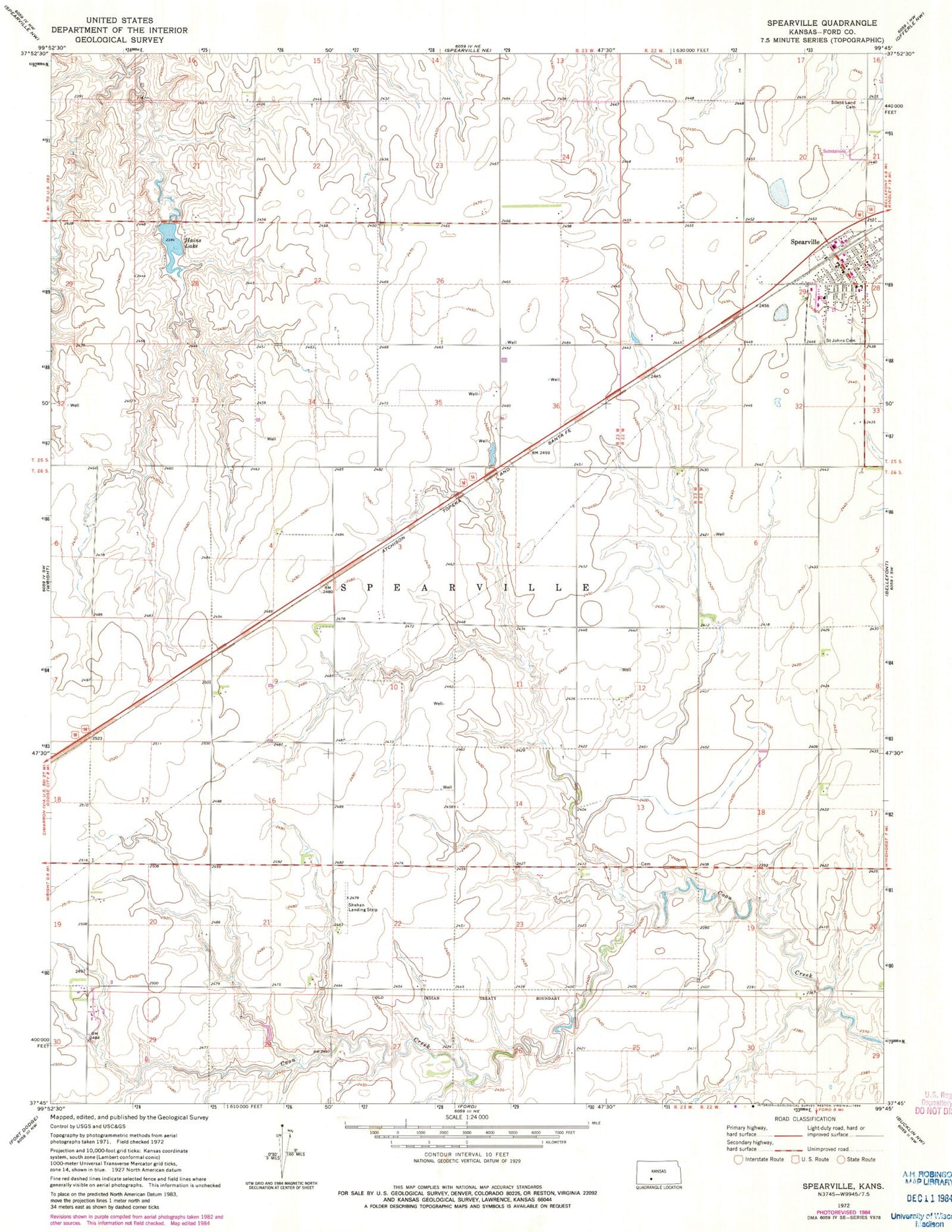
Historical USGS topographic quad map of Spearville in the state of Kansas. Map scale may vary for some years, but is generally around 1:24,000. Print size is approximately 24" x 27"
This quadrangle is in the following counties: Ford.
The map contains contour lines, roads, rivers, towns, and lakes. Printed on high-quality waterproof paper with UV fade-resistant inks, and shipped rolled.
Contains the following named places: City of Spearville, Federated Church, Hain State Fishing Lake and Wildlife Area, Hains Lake, Hains Lake Dam, Right Co - Operative Association Grain Elevator Number 7, Saint John's Catholic Church, Saint John's Cemetery, Shehan Airpark, Silent Land Cemetery, Spearville, Spearville City Hall, Spearville Elementary School, Spearville Middle / High School, Spearville Police Department, Spearville Post Office, Spearville Township Library, Spearville Volunteer Fire Department, Spearville Wind Farm, Township of Spearville