MyTopo
Classic USGS Spectacle Pond Vermont 7.5'x7.5' Topo Map
Couldn't load pickup availability
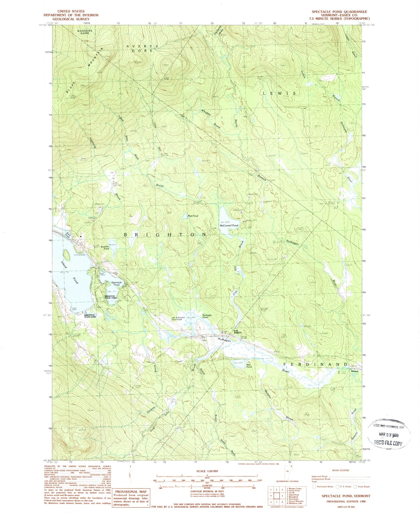
Historical USGS topographic quad map of Spectacle Pond in the state of Vermont. Typical map scale is 1:24,000, but may vary for certain years, if available. Print size: 24" x 27"
This quadrangle is in the following counties: Essex.
The map contains contour lines, roads, rivers, towns, and lakes. Printed on high-quality waterproof paper with UV fade-resistant inks, and shipped rolled.
Contains the following named places: Back Pond, Bailey Brook, Beecher Pond, Bluff Mountain, Clay Hill Brook, East Brighton, Goupee Brook, Island Pond, Lightning Brook, McConnell Pond, Mile Pond, Mud Pond, Murphy Brook, Nulhegan Pond, Paul John Brook, Smith Brook, Spectacle Pond, Tim Carroll Brook, Tuffield Willey Brook, Whiskey Brook, John H Boylan State Airport (Island Pond), Brighton State Park, Wenlock, Wenlock Crossing Heliport, Town of Brighton, Brighton Municipal Forest, Don Eagle Museum, Eagle Point, Loggers Loop Trail, Loon Point, Main Trail, Pine Point, Red Pine Trail, Shore Trail