MyTopo
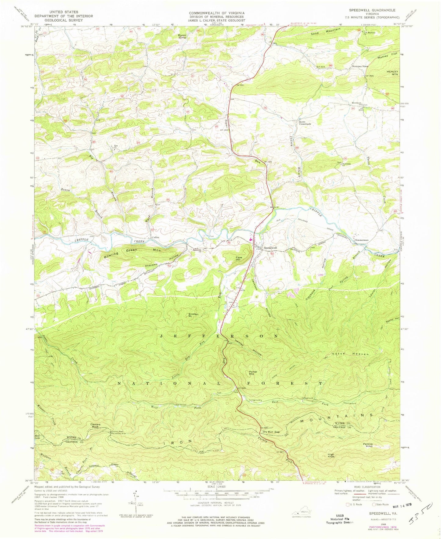
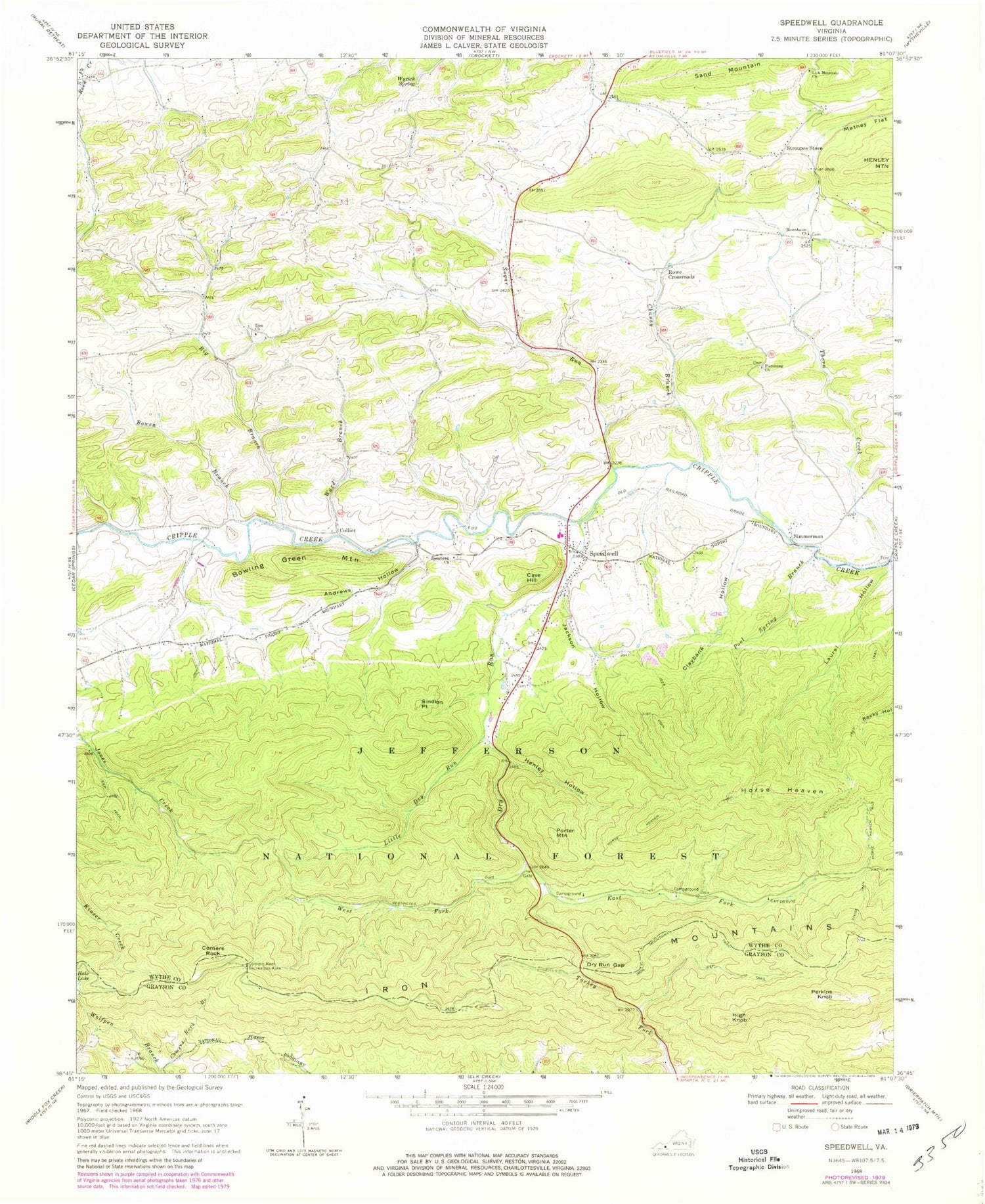
Classic USGS Speedwell Virginia 7.5'x7.5' Topo Map
Couldn't load pickup availability
Historical USGS topographic quad map of Speedwell in the state of Virginia. Typical map scale is 1:24,000, but may vary for certain years, if available. Print size: 24" x 27"
This quadrangle is in the following counties: Grayson, Wythe.
The map contains contour lines, roads, rivers, towns, and lakes. Printed on high-quality waterproof paper with UV fade-resistant inks, and shipped rolled.
Contains the following named places: Andrews Hollow, Big Branch, Bowen Branch, Chaney Branch, Claybank Hollow, Comers Rock Recreation Area, Divide Trail, Dry Run, Dry Run Gap, East Dry Run Fork, Flemming Church, Henley Hollow, High Knob, Horse Heaven, Horse Heaven Trail, Jackson Hollow, Lick Mountain Church, Little Dry Run, Perkins Knob, Pool Spring Branch, Rosenbaum Church, Wyrick Spring, Zion Church, Stroupes Store, Sugar Run, Ward Branch, West Dry Run Fork, Wolfpen Branch, Rocky Hollow Trail, Little Dry Run Trail, Little Dry Run Wilderness, Perkins Knob Trail, Hussy Mountain Horse Camp, Hungry Mother Dam, Bowling Green Mountain, Cave Hill, Collier, Comers Rock, Porter Mountain, Rowe Crossroads, Sand Mountain, Simmerman, Sindion Point, Edgewood School (historical), Etter School (historical), Flemming School (historical), Harvey School (historical), Lick Mountain School (historical), Zion Cemetery, Zion School (historical), Speedwell Methodist Cemetery, Speedwell, Speedwell Methodist Church, Speedwell District, Speedwell Elementary School, Speedwell Volunteer Fire Department, Speedwell Post Office


