MyTopo
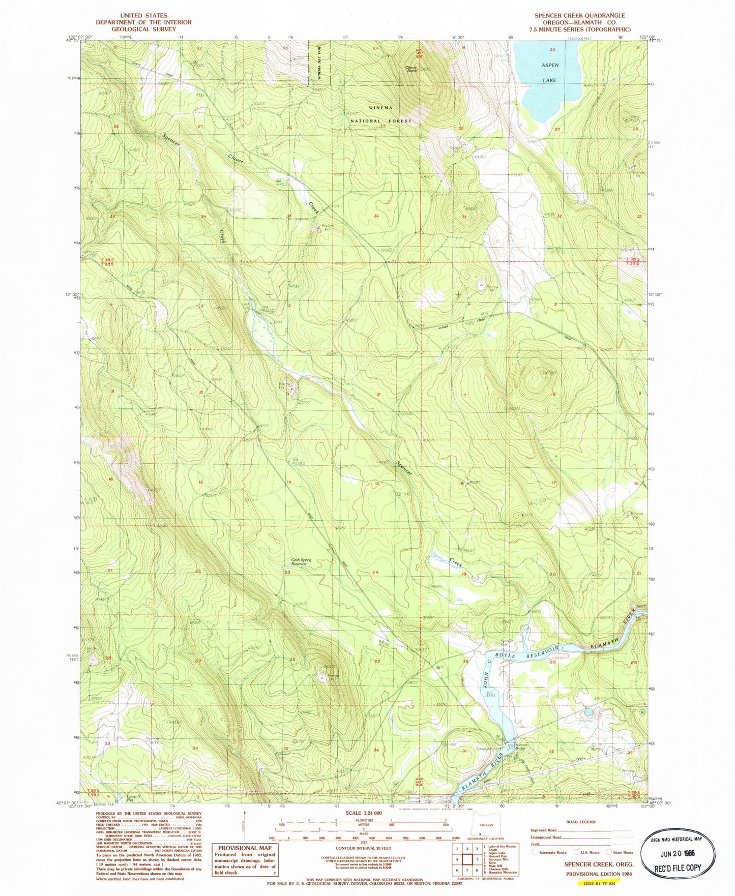
Classic USGS Spencer Creek Oregon 7.5'x7.5' Topo Map
Couldn't load pickup availability
Historical USGS topographic quad map of Spencer Creek in the state of Oregon. Map scale may vary for some years, but is generally around 1:24,000. Print size is approximately 24" x 27"
This quadrangle is in the following counties: Klamath.
The map contains contour lines, roads, rivers, towns, and lakes. Printed on high-quality waterproof paper with UV fade-resistant inks, and shipped rolled.
Contains the following named places: Camp Day, Camp Sa-wa-li-na-is, Camp Three Reservoir, Chase, Clover Butte, Clover Creek, Clover Station, Forest, Forest Post Office, Grub Spring Reservoir, John C Boyle Reservoir, Klamath River Recreation Site, McCollum, Pioneer Park Boat Ramp, Spencer Bridge, Spencer Cemetery, Spencer Creek, ZIP Code: 97627