
MyTopo
Classic USGS Spencer South Idaho 7.5'x7.5' Topo Map
Regular price
$16.95
Regular price
Sale price
$16.95
Unit price
per
Couldn't load pickup availability
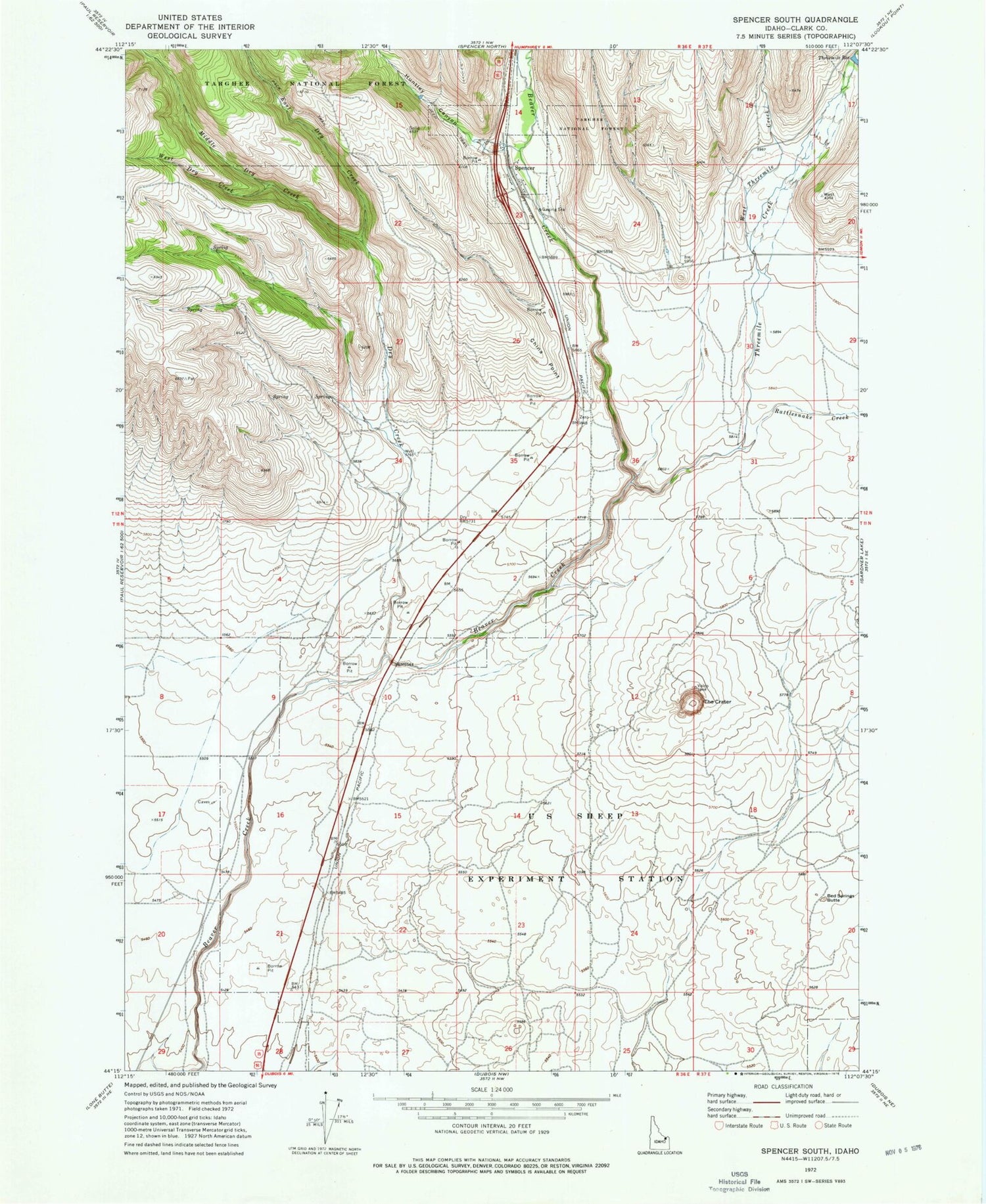
Historical USGS topographic quad map of Spencer South in the state of Idaho. Map scale may vary for some years, but is generally around 1:24,000. Print size is approximately 24" x 27"
This quadrangle is in the following counties: Clark.
The map contains contour lines, roads, rivers, towns, and lakes. Printed on high-quality waterproof paper with UV fade-resistant inks, and shipped rolled.
Contains the following named places: Bed Springs Butte, China Point, City of Spencer, Dry Creek, East Dry Creek, Highbridge, Huntley Canyon, Middle Dry Creek, Rattlesnake Creek, Spencer, The Crater, Threemile Creek, Threemile Reservoir, United States Sheep Experiment Station, West Dry Creek, West Threemile Creek


