MyTopo
Classic USGS Spencer South Dakota 7.5'x7.5' Topo Map
Couldn't load pickup availability
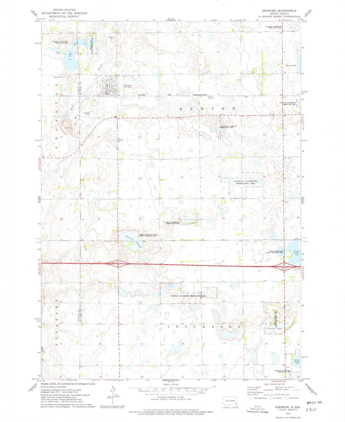
Historical USGS topographic quad map of Spencer in the state of South Dakota. Map scale may vary for some years, but is generally around 1:24,000. Print size is approximately 24" x 27"
This quadrangle is in the following counties: Hanson, McCook.
The map contains contour lines, roads, rivers, towns, and lakes. Printed on high-quality waterproof paper with UV fade-resistant inks, and shipped rolled.
Contains the following named places: City of Spencer, Ediger State Public Shooting Area, Forsch Lake, Forsch Lake State Public Shooting Area, Gross Lake, Gross Lake State Public Shooting Area, Hanson-McCook Regional Library, Lake Eli, Lakeside Cemetery, Lehrman Slough, Lehrman Slough State Public Shooting Area, Lions Lake, Macke Lake, Spencer, Spencer Cemetery, Spencer Fire Department, Spencer Post Office, Township of Benton, Township of Jefferson, Township of Jerrerson