MyTopo
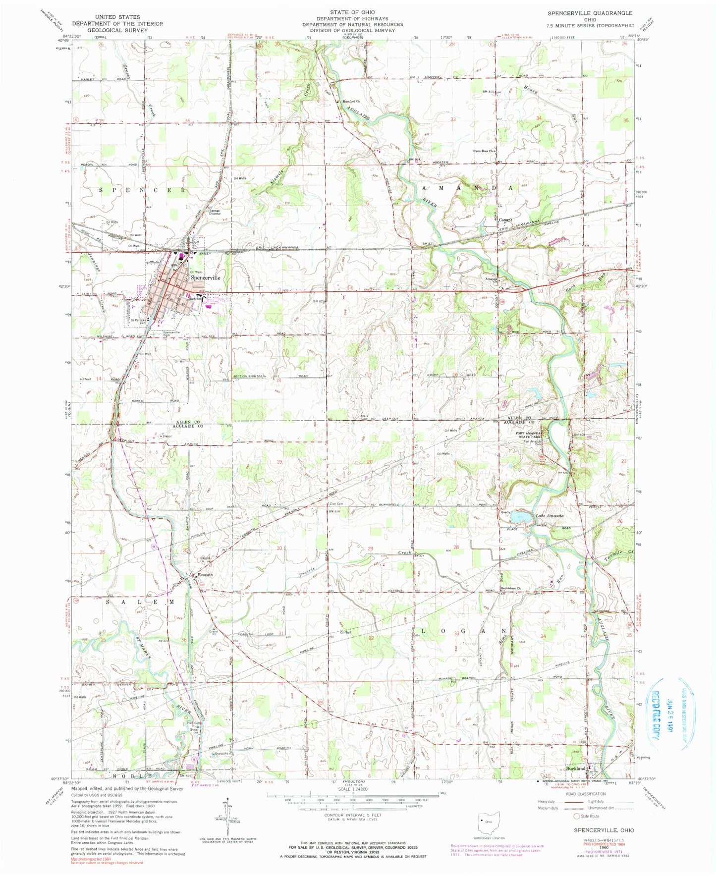
Classic USGS Spencerville Ohio 7.5'x7.5' Topo Map
Couldn't load pickup availability
Historical USGS topographic quad map of Spencerville in the state of Ohio. Map scale may vary for some years, but is generally around 1:24,000. Print size is approximately 24" x 27"
This quadrangle is in the following counties: Allen, Auglaize.
The map contains contour lines, roads, rivers, towns, and lakes. Printed on high-quality waterproof paper with UV fade-resistant inks, and shipped rolled.
Contains the following named places: Amanda Baptist Cemetery, Amanda Church, Bethlehem Church, Bice School, Buck Run, Buckland Cemetery, Buckland Elementary School, Buckland United Church of Christ, Center School, Christie Chapel, Christie Chapel Cemetery, Church of the Nazarene, Conant, Conant Post Office, Deep Cut, Deep Cut School, First Baptist Church, First Federated Church, Fort Amanda, Fort Amanda Cemetery, Fort Amanda State Park, Germany School, Hanley School, Hartford, Hartford Cemetery, Hartford Christian Church, Hartford School, Jacob Baker Cemetery, Jericho School, Kossuth, Kossuth Cemetery, Kossuth Post Office, Kossuth Zion United Methodist Church, Lake Amanda, New Light Church, Open Door Church, Perkins School, Place School, Pratt Cemetery, Pratt School, Saint Patrick Catholic Church, Saint Patricks Cemetery, School Number 4, School Number 8, School Number 9, Shadyside School, Sims Run, Six Mile Aqueduct, Sixmile Creek, Sodam School, Spencerville, Spencerville Ambulance Service, Spencerville Cemetery, Spencerville Elementary School, Spencerville Fire Department, Spencerville High School, Spencerville Middle School, Spencerville Police Department, Spencerville Post Office, Township of Amanda, Township of Logan, Township of Spencer, Trinity United Methodist Church, Twomile Creek, Village Courts I, Village Courts II, Village of Spencerville, Zion Cemetery, Zion School, ZIP Code: 45887


