MyTopo
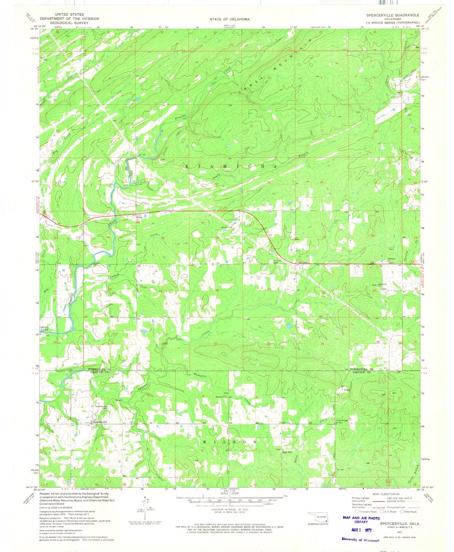
Classic USGS Spencerville Oklahoma 7.5'x7.5' Topo Map
Couldn't load pickup availability
Historical USGS topographic quad map of Spencerville in the state of Oklahoma. Map scale may vary for some years, but is generally around 1:24,000. Print size is approximately 24" x 27"
This quadrangle is in the following counties: Choctaw, Pushmataha.
The map contains contour lines, roads, rivers, towns, and lakes. Printed on high-quality waterproof paper with UV fade-resistant inks, and shipped rolled.
Contains the following named places: Black Jack Indian Cemetery, Blackjack Church, Corinne, Corinne Cemetery, Crooked Creek, Frazier Creek Trail, Goodwater Cemetery, Goodwater Church, Hampton Chapel Cemetery, Hampton Church, Hampton Creek, High Bridge, High Hill, High Hill Cemetery, Oknoname 127003 Dam, Oknoname 127003 Reservoir, Oleta, South Branch Frazier Creek, Spencerville, Spencerville Cemetery, Spencerville Fire Department, Turkey Creek, ZIP Code: 74760