MyTopo
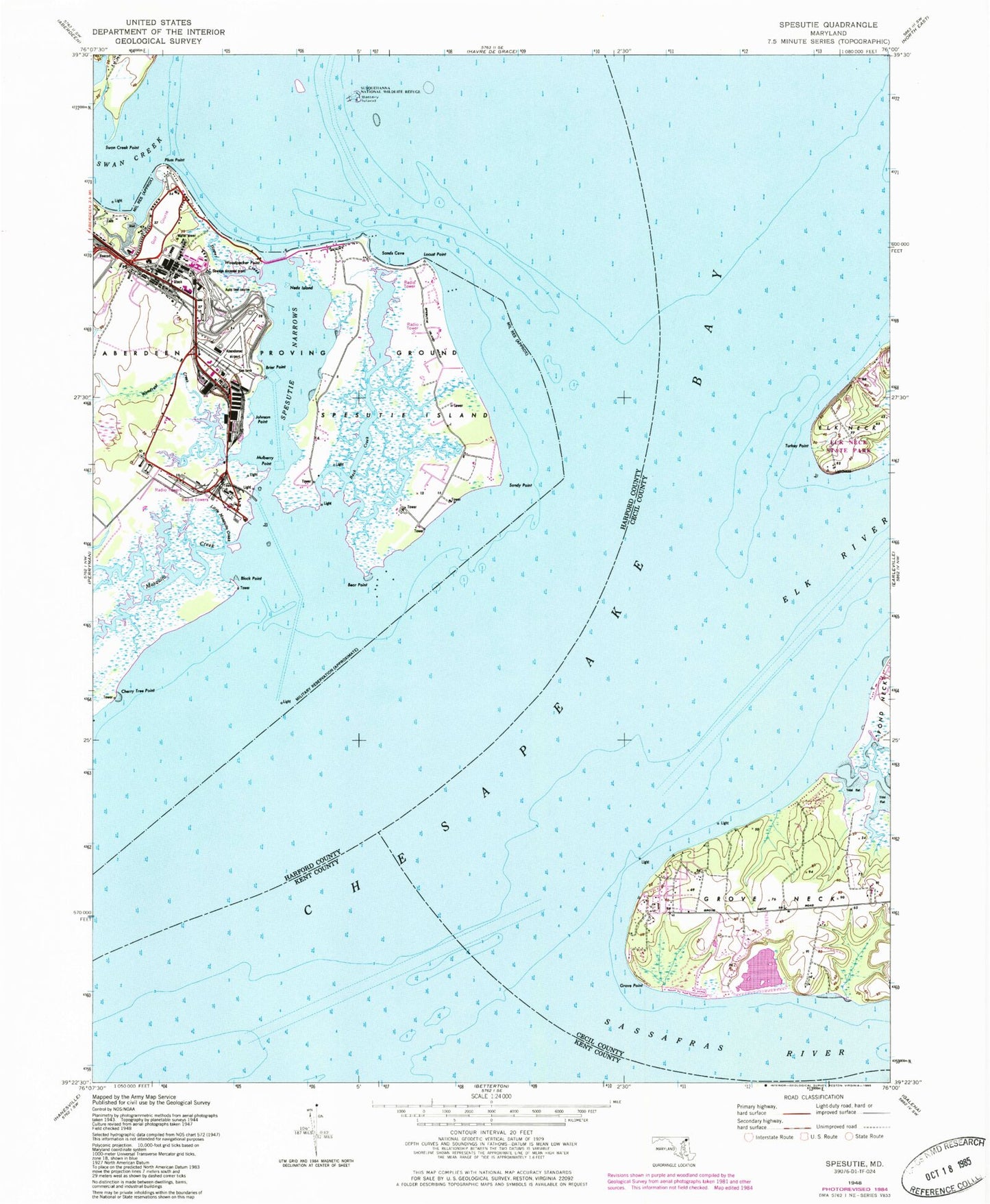
Classic USGS Spesutie Maryland 7.5'x7.5' Topo Map
Couldn't load pickup availability
Historical USGS topographic quad map of Spesutie in the state of Maryland. Map scale may vary for some years, but is generally around 1:24,000. Print size is approximately 24" x 27"
This quadrangle is in the following counties: Cecil, Harford, Kent.
The map contains contour lines, roads, rivers, towns, and lakes. Printed on high-quality waterproof paper with UV fade-resistant inks, and shipped rolled.
Contains the following named places: Back Creek, Battery Island, Bear Point, Black Point, Brier Point, Buzzards Glory, Cedar Point, Cherry Tree Point, Chesapeake Haven, Chesapeake Isle, Cheshaven, Cranberry Fishery, Dipper Creek, Elk River, Fishing Battery Lighthouse, Grove Point, Grove Point Disposal Area Dam, Grove Point Disposal Area Lake, Grove Point Fishery, Grove Point Girl Scout Camp, Grove Point Wildlife Sanctuary, Hazelmoor, Johnson Point, Little Mosquito Creek, Locust Point, Money Land Fishery, Mosquito Creek, Mulberry Point, Neds Island, Plum Point, Pond Creek, Sands Cove, Sandy Point, Sassafras River, Snug Harbor Boy Scout Camp, Spesutie Island, Spesutie Island Bridge, Spesutie Narrows, Susquehanna National Wildlife Refuge, Swan Creek, Swan Creek Point, Turkey Point, Turkey Point Lighthouse, Woodpecker Point, Woodrest Creek