MyTopo
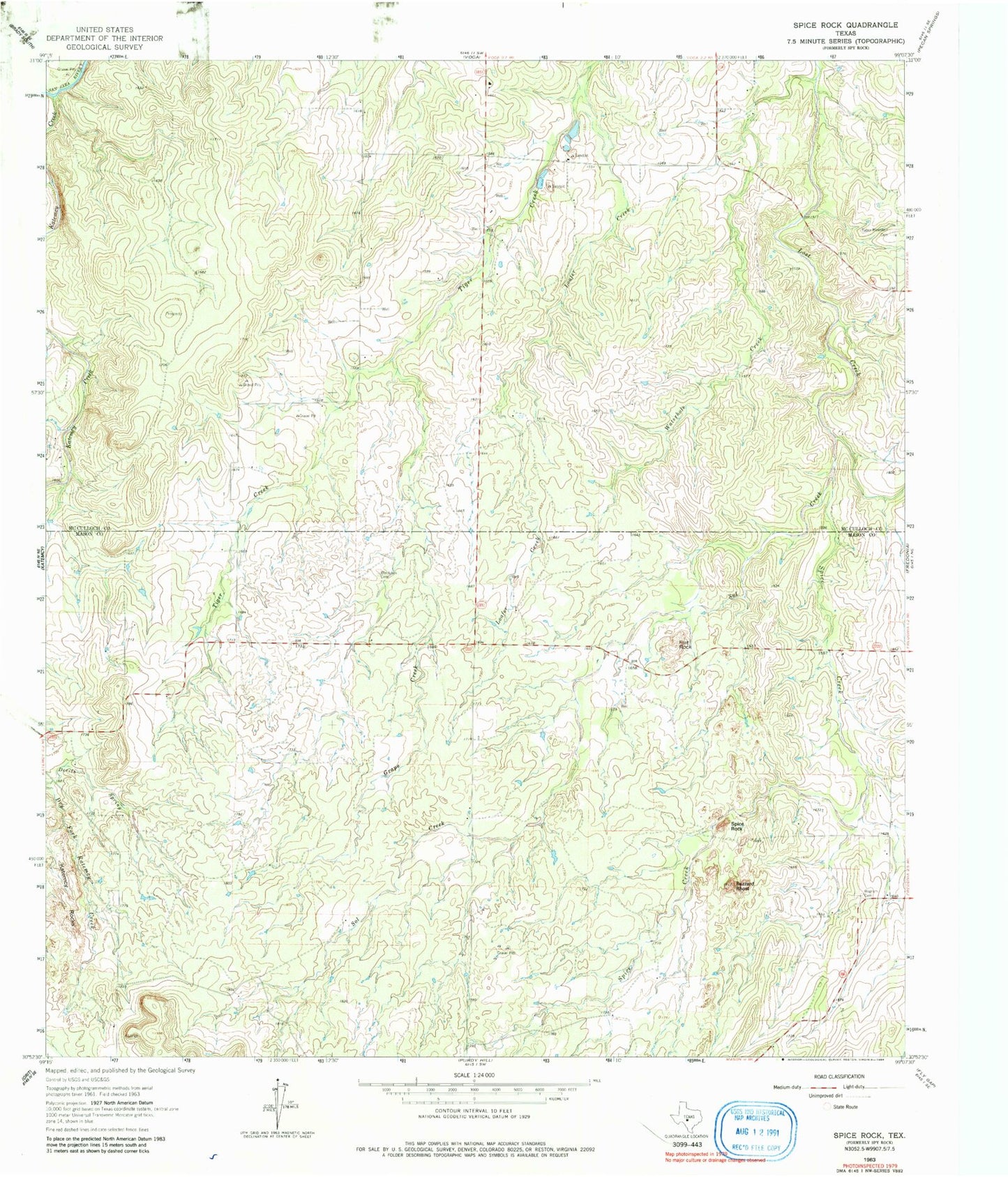
Classic USGS Spice Rock Texas 7.5'x7.5' Topo Map
Regular price
$16.95
Regular price
Sale price
$16.95
Unit price
per
Couldn't load pickup availability
Historical USGS topographic quad map of Spice Rock in the state of Texas. Map scale may vary for some years, but is generally around 1:24,000. Print size is approximately 24" x 27"
This quadrangle is in the following counties: Mason, McCulloch.
The map contains contour lines, roads, rivers, towns, and lakes. Printed on high-quality waterproof paper with UV fade-resistant inks, and shipped rolled.
Contains the following named places: Blackjack Cemetery, Flat Rock, Harkey Ranch Airport, Katemcy Creek, Loafer Creek, Mud Creek, Polk Ranch Airport, Sandy Creek, Spice Creek, Spy Rock, Tabor Mountain Cemetery, Wagram Cemetery, Waterhole Creek