MyTopo
Classic USGS Spider Rock Arizona 7.5'x7.5' Topo Map
Regular price
$16.95
Regular price
Sale price
$16.95
Unit price
per
Couldn't load pickup availability
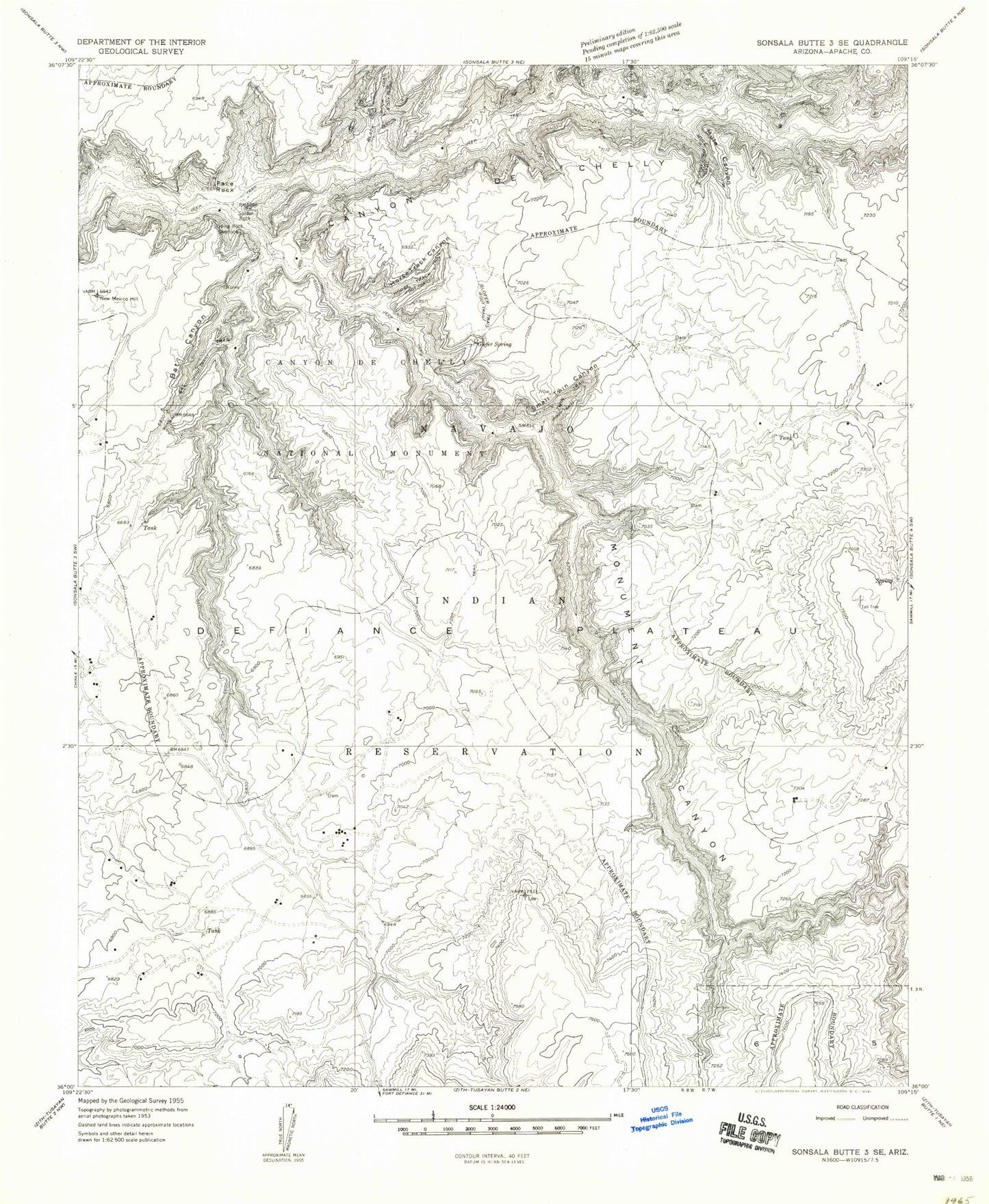
Historical USGS topographic quad map of Spider Rock in the state of Arizona. Map scale may vary for some years, but is generally around 1:24,000. Print size is approximately 24" x 27"
This quadrangle is in the following counties: Apache.
The map contains contour lines, roads, rivers, towns, and lakes. Printed on high-quality waterproof paper with UV fade-resistant inks, and shipped rolled.
Contains the following named places: Bat Canyon, Bat Rock, Canyon de Chelly National Monument, Elephant Grass Spring, Face Rock, Glofer Spring, Horse Track Canyon, Hot Rock Windmill, Monument Canyon, Monument Canyon Wash, Mule Canyon, Oak Spring, Small Twin Canyon, Spider Rock, Spider Rock Overlook