MyTopo
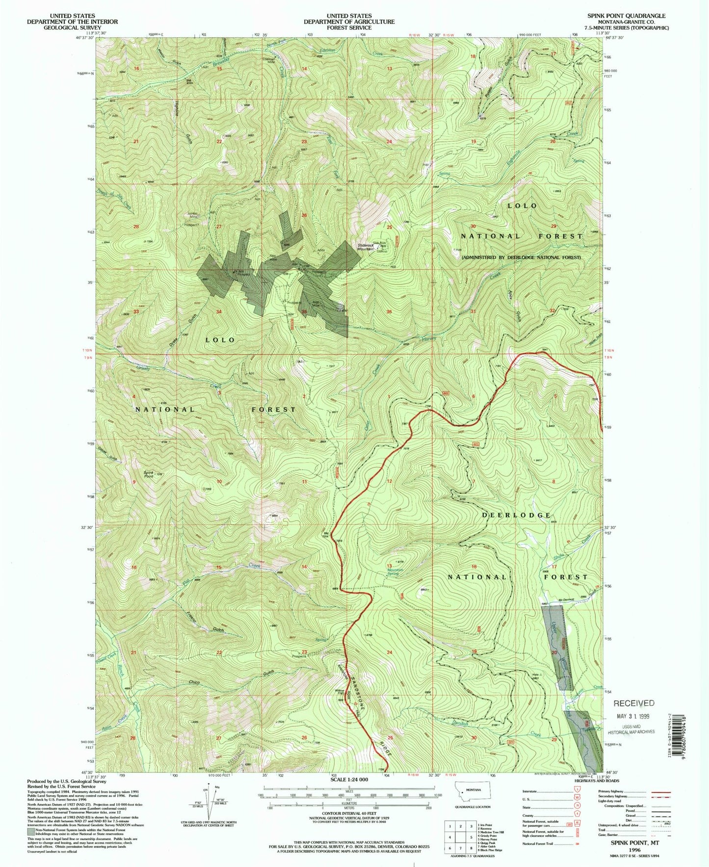
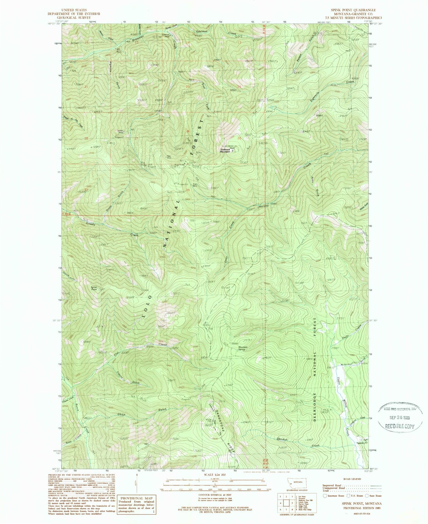
Classic USGS Spink Point Montana 7.5'x7.5' Topo Map
Couldn't load pickup availability
Historical USGS topographic quad map of Spink Point in the state of Montana. Typical map scale is 1:24,000, but may vary for certain years, if available. Print size: 24" x 27"
This quadrangle is in the following counties: Granite.
The map contains contour lines, roads, rivers, towns, and lakes. Printed on high-quality waterproof paper with UV fade-resistant inks, and shipped rolled.
Contains the following named places: Alps Mine, Apex Gulch, Argo Mine, Avon Creek, Chico Gulch, Corduroy Creek, Drake Gulch, East Fork Brewster Creek, Edelman Creek, Flat Creek, Fresno Gulch, Golden Gulch, Highline Gulch, Jumbo Mine, Mason Gulch, McDermott Gulch, Mountain Spring, North Fork Brewster Creek, Otter Creek, Otters Hump Trail, Powers Creek, Shylo Creek, Sliderock Mountain, Spink Point, Tipperary Creek, Willow Harvey Divide Trail, Grizzly Creek Trail, Edelman Mine, Hidden Treasure Mine, Standish Creek, NW Section 23 Mine, NE Section 27 Mine, SW Section 14 Mine, Argo Mine, Gold Leaf Mine, Hidden Treasure Mine


