MyTopo
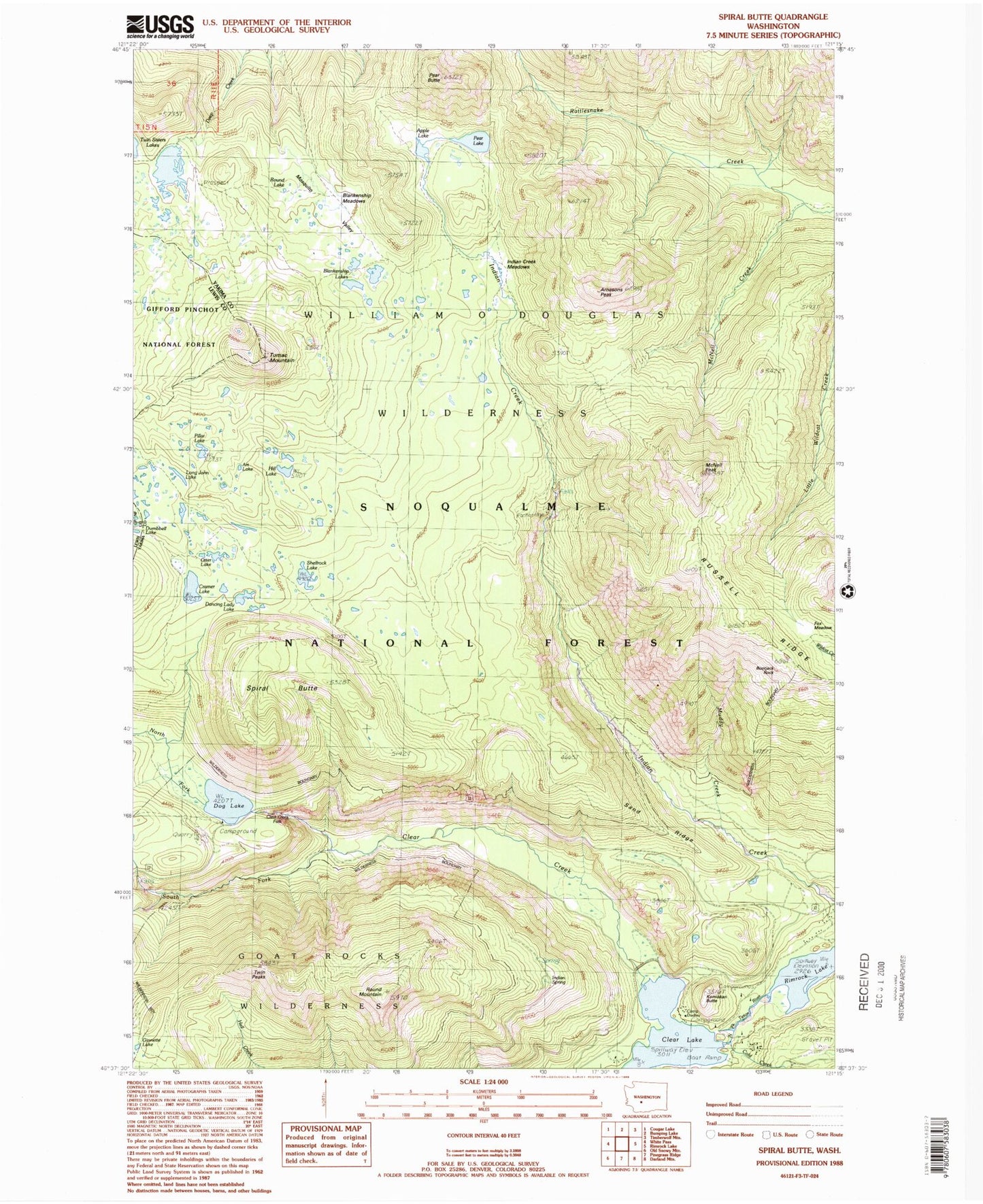
Classic USGS Spiral Butte Washington 7.5'x7.5' Topo Map
Couldn't load pickup availability
Historical USGS topographic quad map of Spiral Butte in the state of Washington. Typical map scale is 1:24,000, but may vary for certain years, if available. Print size: 24" x 27"
This quadrangle is in the following counties: Lewis, Yakima.
The map contains contour lines, roads, rivers, towns, and lakes. Printed on high-quality waterproof paper with UV fade-resistant inks, and shipped rolled.
Contains the following named places: Apple Lake, Arnesons Peak, Art Lake, Big Peak Trail, Blakenship Lakes, Blankenship Meadows, Blankenship Meadows Trail, Bootjack Rock, Camp Dudley, Clear Creek, Clear Lake, Cold Creek, Cramer Lake, Cramer Lake Trail, Dancing Lady Lake, Dog Lake, Fox Meadow, Hill Lake, Hogback Trail, Indian Creek Meadows, Indian Creek Trail, Indian Spring, Ironstone Mountain, Ironstone Mountain Trail, Kamiakan Butte, Little Wildcat Trail, Long John Lake, McAllister Trail, McNeil Creek, McNeil Peak, Mosquito Valley, Muddy Creek, North Fork Clear Creek, North Fork Tieton River, Otter Lake, Pear Butte, Pear Lake, Pillar Lake, Rattlesnake Trail, Round Lake, Round Mountain, Russell Ridge, Sand Ridge, Sand Ridge Trail, Shellrock Lake, Shellrock Lake Trail, South Fork Clear Creek, Spiral Butte, State University Survey Camp, Tumac Mountain, Twin Peaks, Twin Sisters Trail, Clear Lake Campground, Dog Lake, Clear Creek Overlook, Indian Creek Trailhead, Sand Ridge Trailhead, Indian Creek Corrals, Clear Lake North Campground, Clear Lake South Campground, Clear Lake Picnic Area and Boat Landing, Summit Lakes, Clear Creek Dam, State College of Washington Survey Camp, Clear Creek Falls