MyTopo
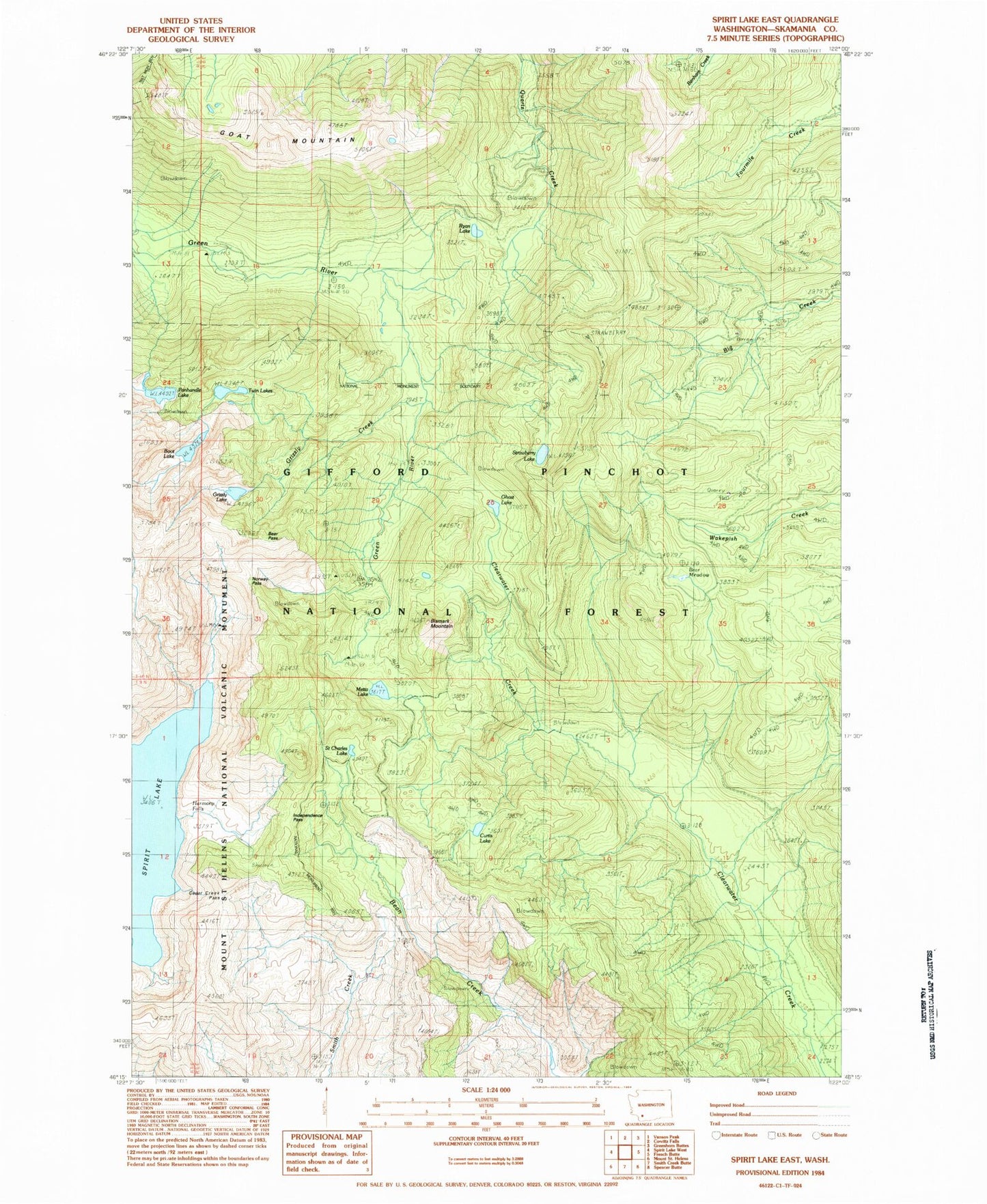
Classic USGS Spirit Lake East Washington 7.5'x7.5' Topo Map
Couldn't load pickup availability
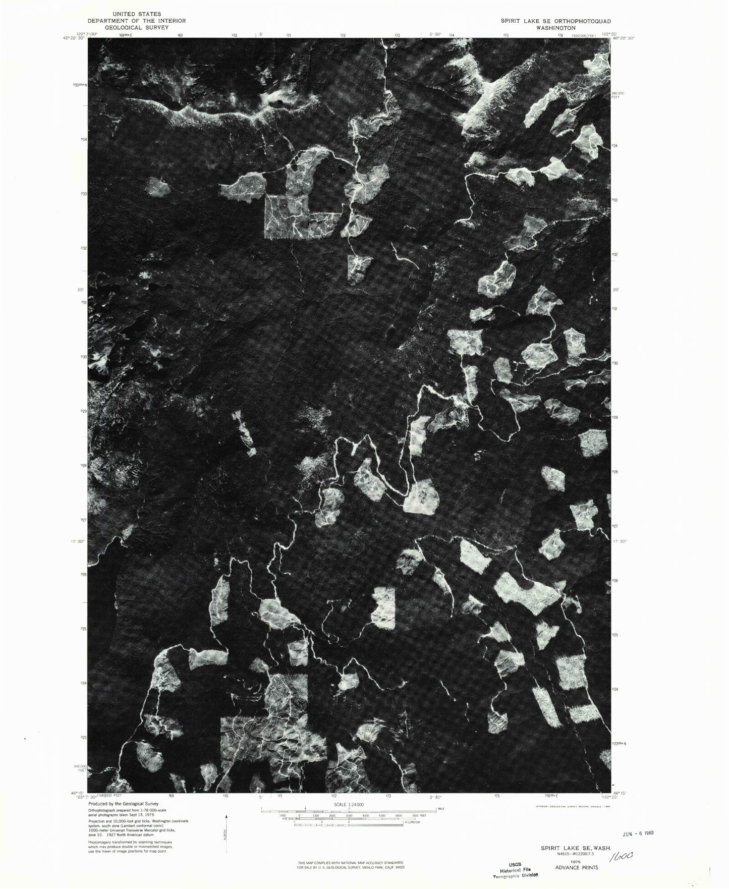
Historical USGS topographic quad map of Spirit Lake East in the state of Washington. Typical map scale is 1:24,000, but may vary for certain years, if available. Print size: 24" x 27"
This quadrangle is in the following counties: Skamania.
The map contains contour lines, roads, rivers, towns, and lakes. Printed on high-quality waterproof paper with UV fade-resistant inks, and shipped rolled.
Contains the following named places: Bear Meadow, Bear Pass, Bismark Mountain, Boot Lake, Cedar Creek Forest Camp (historical), Chicago Mine, Commonwealth Mine, Curtis Lake, Donnybrook Forest Camp (historical), Ghost Lake, Goat Mountain, Golconda Mine, Grizzly Creek, Grizzly Lake, Harmony Falls, Harmony Falls Lodge (historical), Independence Pass, Last Hope Mine, Norway Pass, Obscurity Lake, Panhandle Lake, Polar Star Mine, Ryan Lake, Saint Charles Lake, Strawberry Lake, Strawberry Lookout, Sweden Mine (historical), Ryan Lake Picnic Area and Viewpoint, Ryan Lake Interpretive Site, Bear Meadow Viewpoint, Norway Pass Trailhead, Meta Lake Interpretive Site, Miners Car Interpretive Site, Independence Pass Viewpoint, Harmony Viewpoint, Cedar Creek Viewpoint, Donnybrook Viewpoint, Smith Creek Viewpoint, Cedar Creek Pass, Independence Pass Interpretive Trail, Mount Saint Helens Viewpoint, Meta Lake, Fringe Viewpoint, Bear Meadow, Bear Pass, Bismark Mountain, Boot Lake, Cedar Creek Forest Camp (historical), Chicago Mine, Commonwealth Mine, Curtis Lake, Donnybrook Forest Camp (historical), Ghost Lake, Goat Mountain, Golconda Mine, Grizzly Creek, Grizzly Lake, Harmony Falls, Harmony Falls Lodge (historical), Independence Pass, Last Hope Mine, Norway Pass, Obscurity Lake, Panhandle Lake, Polar Star Mine, Ryan Lake, Saint Charles Lake, Strawberry Lake, Strawberry Lookout, Sweden Mine (historical), Ryan Lake Picnic Area and Viewpoint, Ryan Lake Interpretive Site, Bear Meadow Viewpoint, Norway Pass Trailhead, Meta Lake Interpretive Site, Miners Car Interpretive Site, Independence Pass Viewpoint, Harmony Viewpoint, Cedar Creek Viewpoint, Donnybrook Viewpoint, Smith Creek Viewpoint, Cedar Creek Pass, Independence Pass Interpretive Trail, Mount Saint Helens Viewpoint, Meta Lake, Fringe Viewpoint


