MyTopo
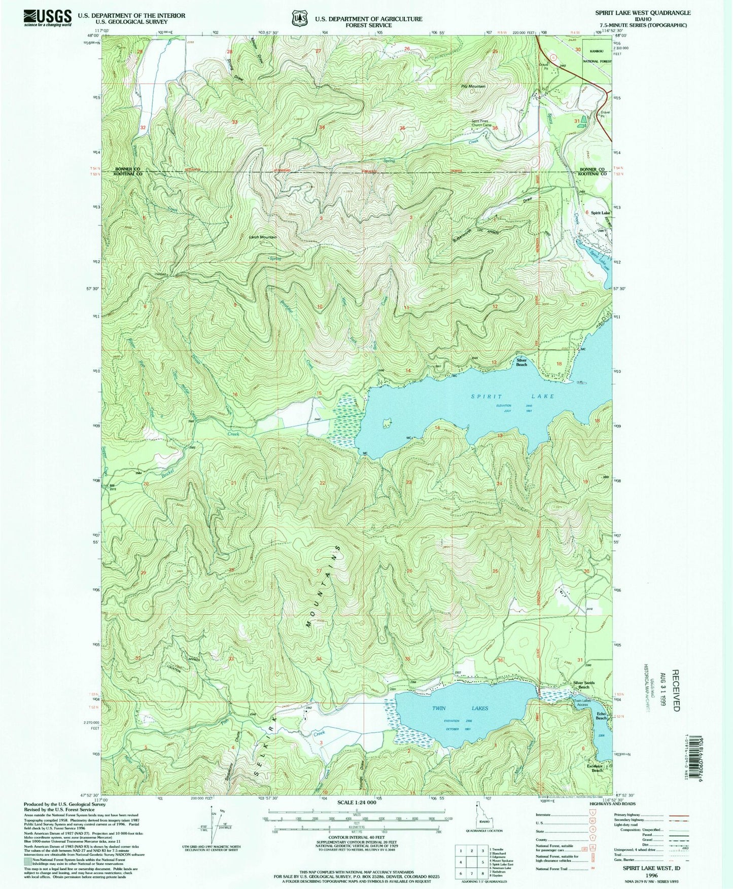
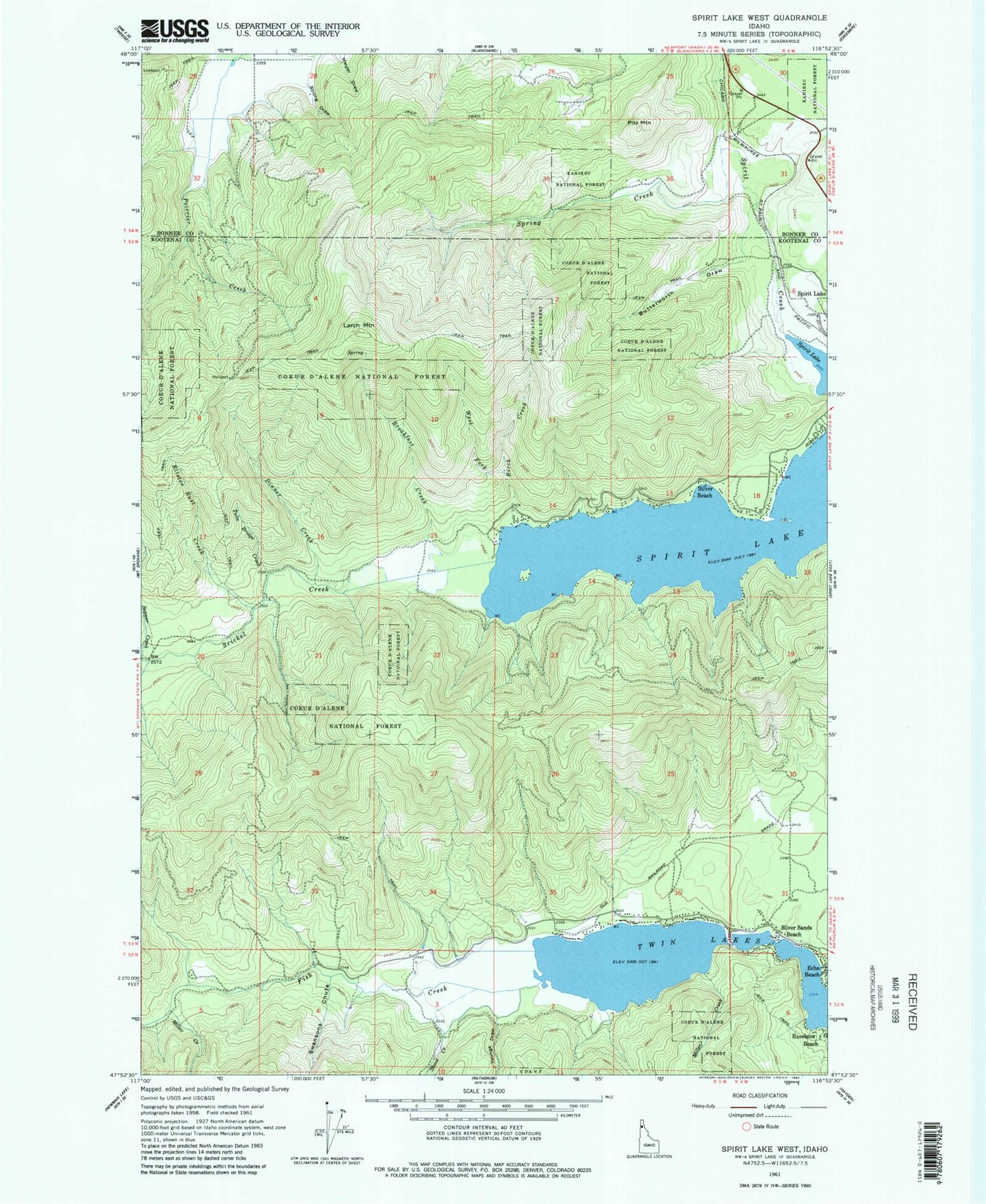
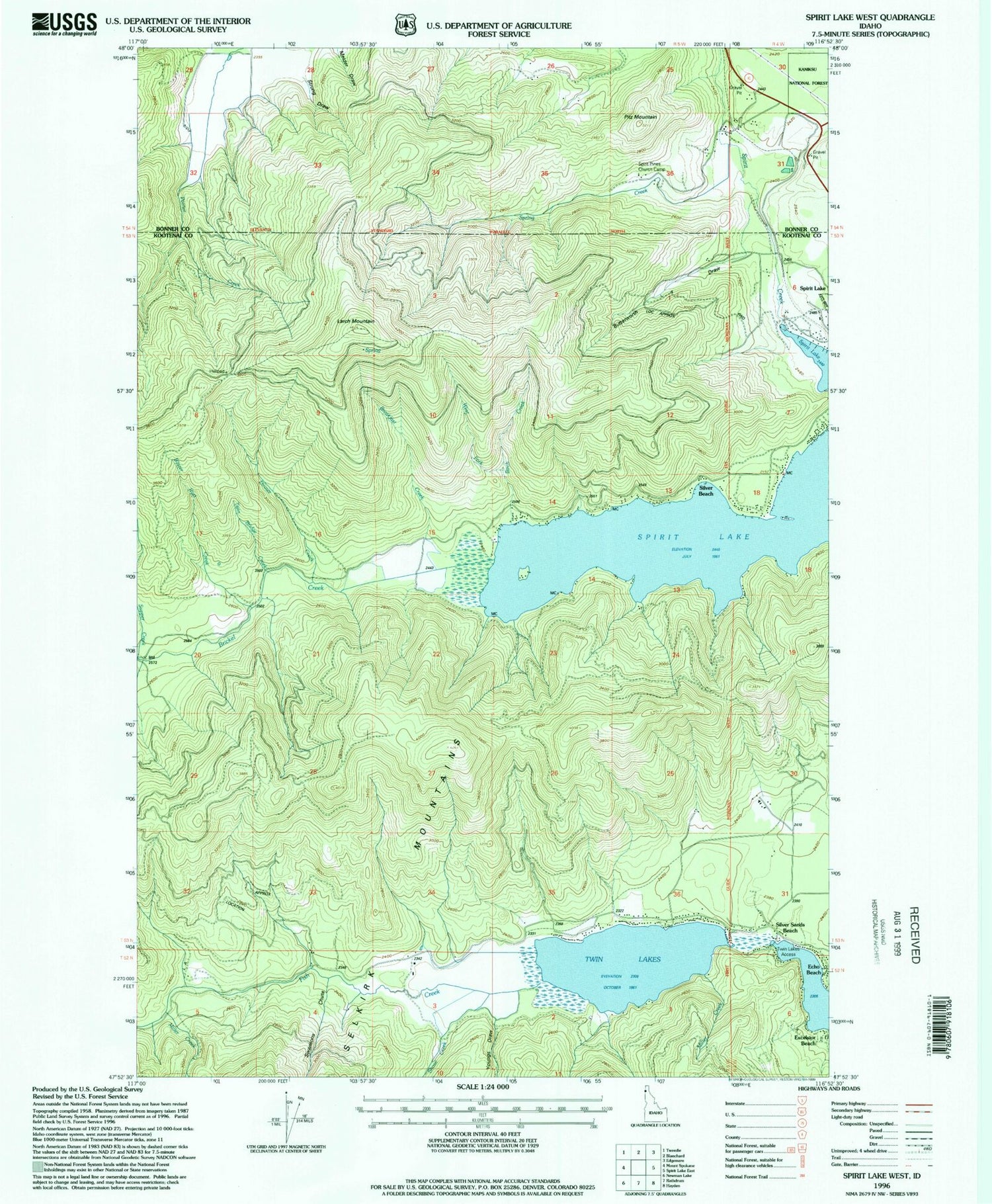
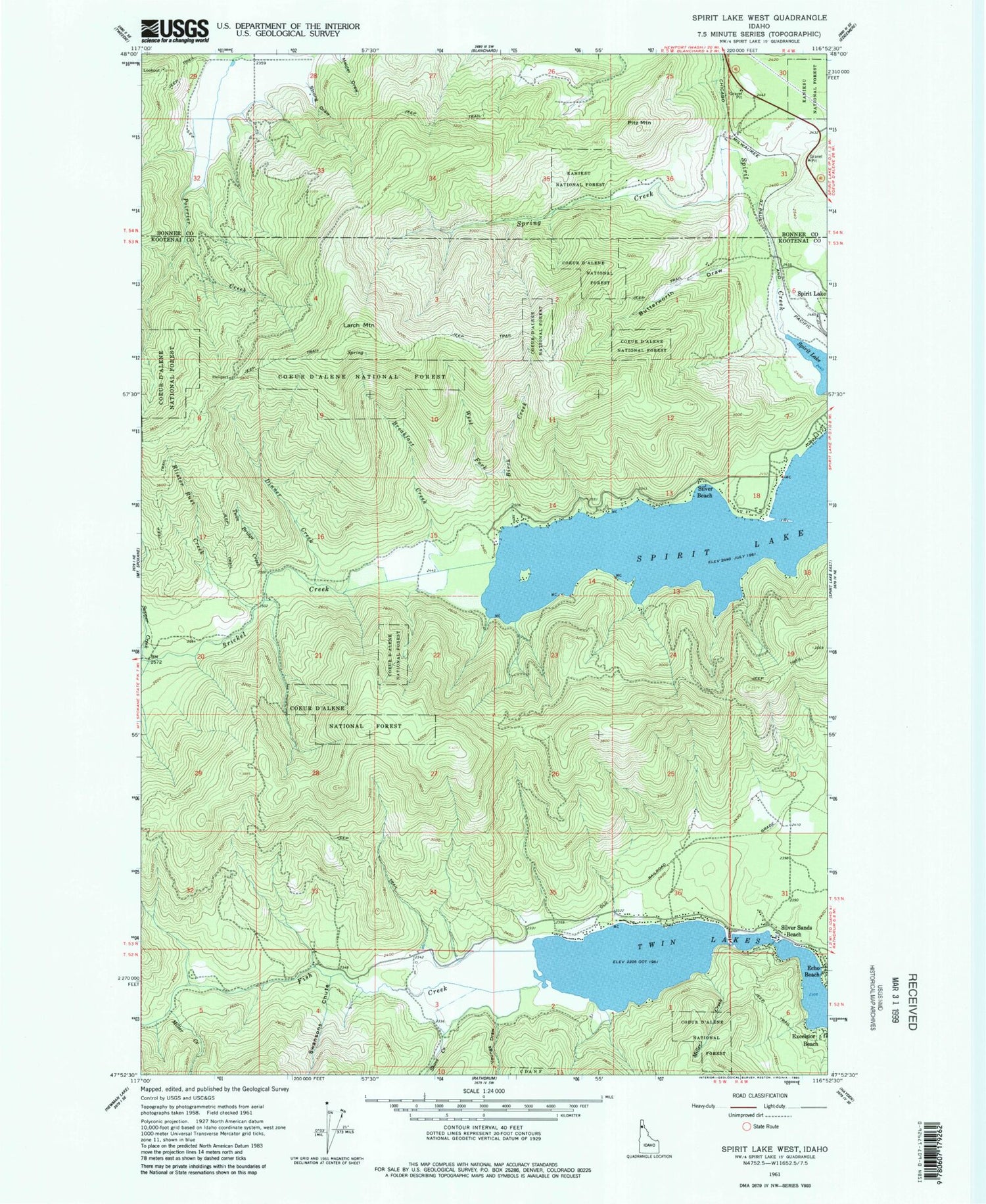
Classic USGS Spirit Lake West Idaho 7.5'x7.5' Topo Map
Couldn't load pickup availability
Historical USGS topographic quad map of Spirit Lake West in the state of Idaho. Typical map scale is 1:24,000, but may vary for certain years, if available. Print size: 24" x 27"
This quadrangle is in the following counties: Bonner, Kootenai.
The map contains contour lines, roads, rivers, towns, and lakes. Printed on high-quality waterproof paper with UV fade-resistant inks, and shipped rolled.
Contains the following named places: Birch Creek, Blister Rust Creek, Breakfast Creek, Butterworth Draw, Dinner Creek, Strong Draw, Twin Bridge Creek, West Fork Birch Creek, Fish Creek, Shove Creek, Spirit Lake, Spring Creek, Swansons Chute, Youngs Draw, Spirit Pines Church Camp, Twin Lakes Access, Echo Beach, Excelsior Beach, Larch Mountain, Miller Creek, Miller Creek, Silver Beach, Silver Sands Beach, Fir Grove, Pitz Mountain, Twin Lakes


