MyTopo
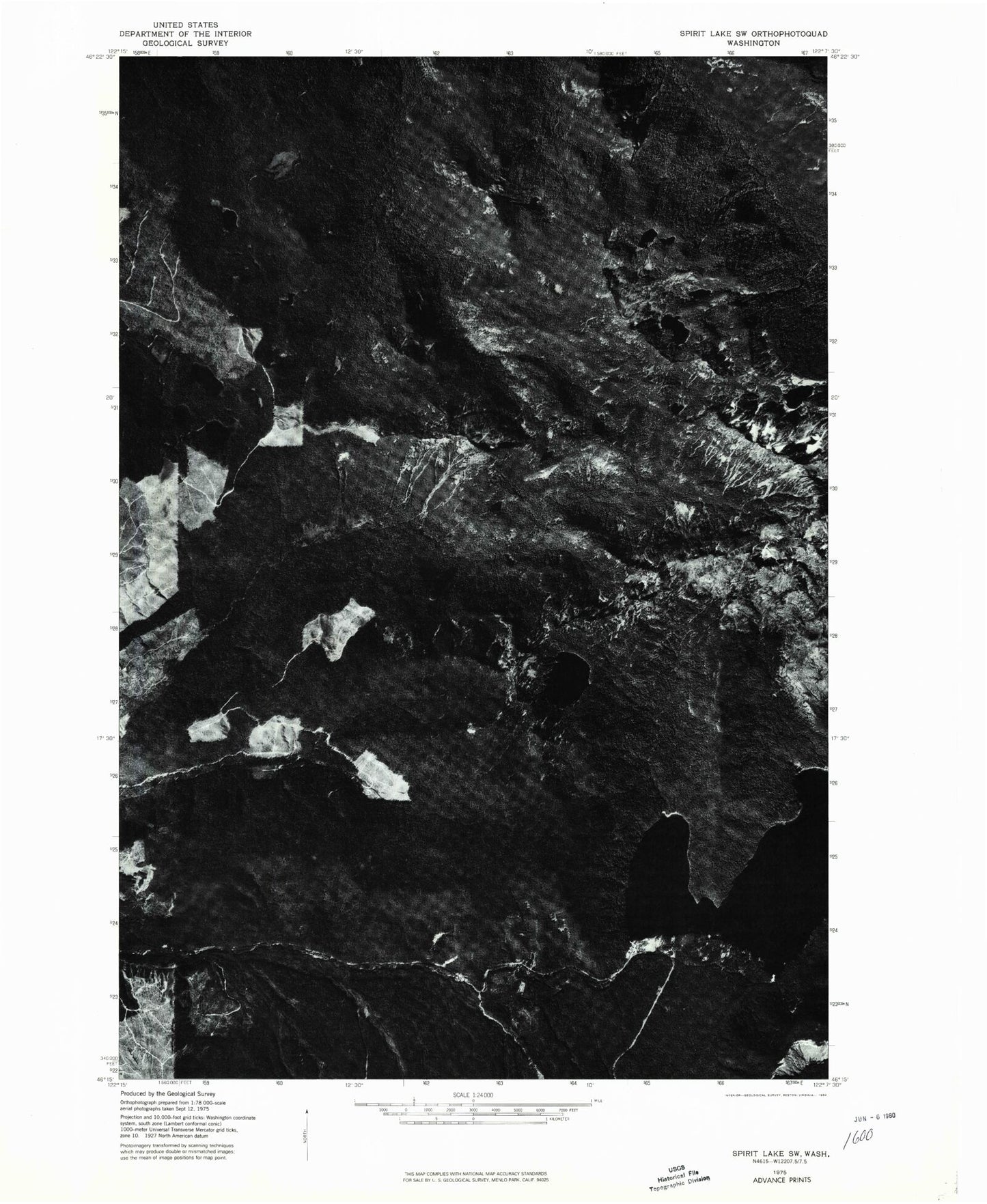
Classic USGS Spirit Lake West Washington 7.5'x7.5' Topo Map
Couldn't load pickup availability
Historical USGS topographic quad map of Spirit Lake West in the state of Washington. Typical map scale is 1:24,000, but may vary for certain years, if available. Print size: 24" x 27"
This quadrangle is in the following counties: Cowlitz, Skamania.
The map contains contour lines, roads, rivers, towns, and lakes. Printed on high-quality waterproof paper with UV fade-resistant inks, and shipped rolled.
Contains the following named places: O'Conner Lake, Bear Creek, Black Mountain, Black Prince Mine (historical), Coldwater Lookout, Coldwater Trail, Deer Lake, Elk Lake, Elk Prairie, Hanaford Lake, Harmony Falls Landing (historical), Heart Lake, Holmstedt Lake, Lang Mine, Lonesome Lake, Mount Margaret, Minnie Lee Mine (historical), Minnie Peak, Saint Helens Lake, Saint Helens Lodge (historical), Shovel Lake, Snow Lake, Spirit Lake, Spirit Lake Forest Camp (historical), Spirit Lake Lodge (historical), Spirit Lake Ranger Station (historical), The Dome, Tradedollar Lake, Venus Lake, Mount Venus, Mount Whittier, Harrys Ridge, Pumice Plain, The Spillover, Langes Crest, Coldwater Lake, Coldwater Peak, Johnston Ridge, Bear Cove, Duck Bay, Lower Venus Lake, Mount Saint Helens National Volcanic Monument, Windy Ridge Viewpoint, Forest Lake, Island Lake, Coes Dam (historical), Spirit Lake Post Office (historical), Johnston Ridge Observatory, Bear Cove Campground (historical), Duck Bay Boating Site (historical), O'Conner Lake, Bear Creek, Black Mountain, Black Prince Mine (historical), Coldwater Lookout, Coldwater Trail, Deer Lake, Elk Lake, Elk Prairie, Hanaford Lake, Harmony Falls Landing (historical), Heart Lake, Holmstedt Lake, Lang Mine, Lonesome Lake, Mount Margaret, Minnie Lee Mine (historical), Minnie Peak, Saint Helens Lake, Saint Helens Lodge (historical), Shovel Lake, Snow Lake, Spirit Lake, Spirit Lake Forest Camp (historical), Spirit Lake Lodge (historical), Spirit Lake Ranger Station (historical), The Dome, Tradedollar Lake, Venus Lake, Mount Venus, Mount Whittier, Harrys Ridge, Pumice Plain, The Spillover, Langes Crest, Coldwater Lake, Coldwater Peak, Johnston Ridge, Bear Cove, Duck Bay, Lower Venus Lake, Mount Saint Helens National Volcanic Monument, Windy Ridge Viewpoint, Forest Lake, Island Lake, Coes Dam (historical), Spirit Lake Post Office (historical), Johnston Ridge Observatory, Bear Cove Campground (historical), Duck Bay Boating Site (historical)